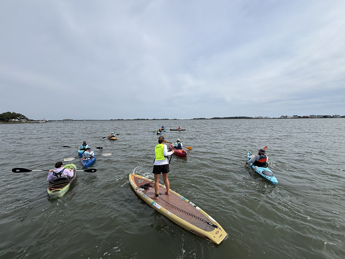
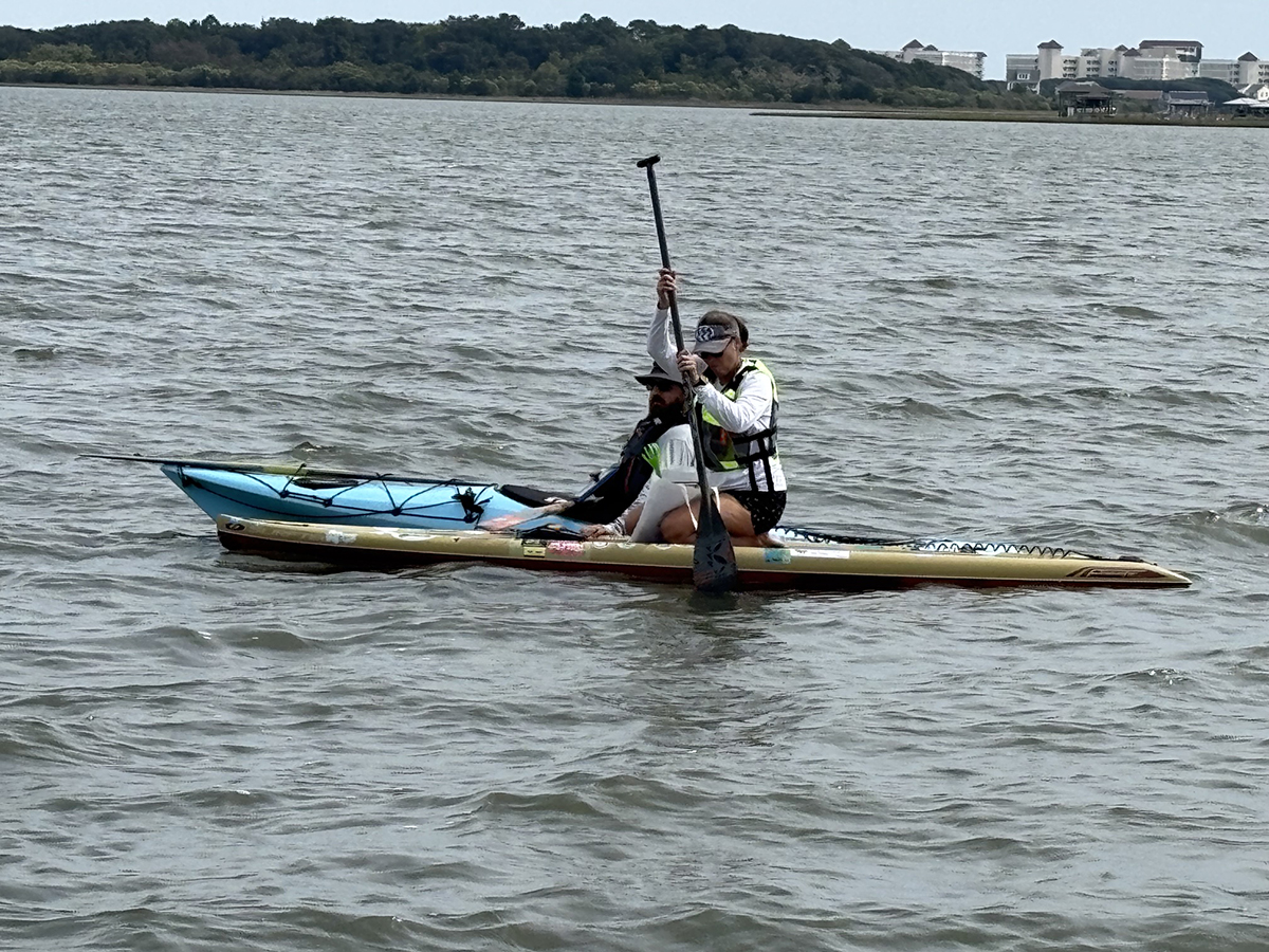
SNEADS FERRY — At first glance, the group of paddlers slicing through choppy waters might have seemed to a casual observer mere outdoor enthusiasts enjoying a peaceful afternoon on the shores of Chadwick Bay.
In truth, what they set out to do on a recent Friday may be key in providing a broader picture for scientists to better understand changes that are occurring in North Carolina’s underwater habitats.
Supporter Spotlight
Those who took to the waters of Chadwick Bay on the afternoon of Oct. 9 are inaugural volunteers of NC SAV Watchers, a new research and community science initiative launched by Coastal Carolina Riverwatch and the University of North Carolina Wilmington and funded through North Carolina Sea Grant’s 2026-2028 Core Research Program.
The two-year pilot study led by UNCW professor Dr. Jessie Jarvis aims to establish how best to train community scientists to safely and accurately collect scientifically useful information on submerged aquatic vegetation, or SAV, and water conditions that influence underwater rooted plants.
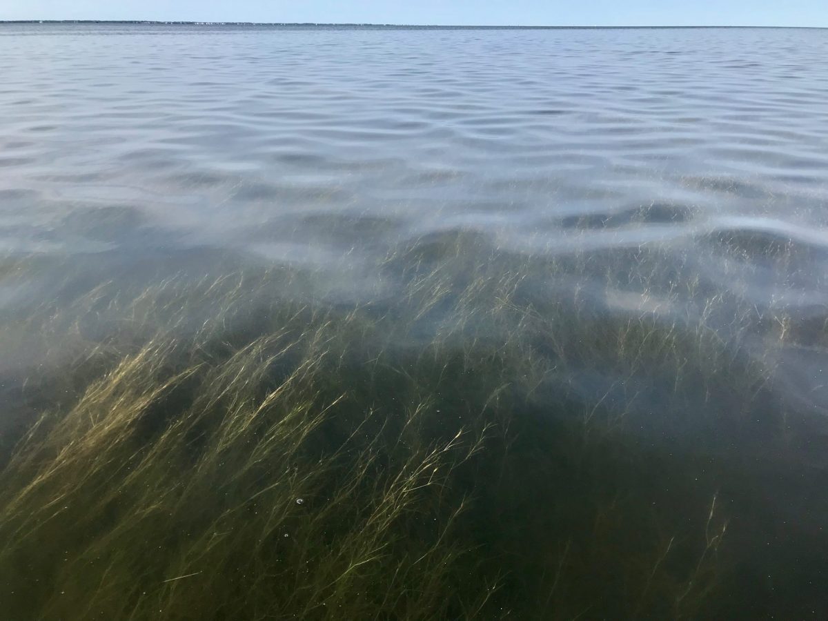
SAV are flowering plants that grow completely underwater and depend on sunlight to grow. They are crucial to marine estuaries because they provide habitat to aquatic animals, improve water quality, protect shorelines, filter sediment, and help reduce greenhouse gas levels by capturing and storing atmospheric carbon dioxide.
Earlier this year, the Albemarle-Pamlico National Estuary Partnership, or APNEP, published an update to its 2021 analysis of high-salinity underwater grass in the Albemarle-Pamlico estuary. The study found the state’s seagrass habitat declined by an estimated 16,000 acres, or 16%, between 2006 and 2020.
That equates to a total loss of about 25 square miles.
Supporter Spotlight

The study notes that North Carolina’s seagrass decline is on trend with the rest of the globe. Researchers attribute the losses to coastal development, water quality degradation, sea level rise, warming temperatures and human-related aquatic activities including dredging, fishing and boating.
Under APNEP’s tiered monitoring system, researchers have teamed up with the North Carolina Department of Transportation to collect aerial imagery of the Albemarle-Pamlico region. Researchers compare that imagery with on-the-water sampling, which in turn helps them analyze and identify what is driving changes to the ecosystem.
“Now the biggest limitation for that is that it is all in the Albermarle-Pamlico region so we cannot go any further south thang Bogue Sound,” Jarvis explained in a telephone interview late last week. “So, with this SAV Watchers, what we’re hoping to do is expand the monitoring data outside of the APNEP region to complement that but definitely expand it out.”
Jarvis and her team of researchers plan to return to Chadwick Bay, which is in the White Oak River Basin, this week to collect their own data and cross-check that with information gathered by the volunteers for accuracy, consistency, and reliability.
Test run
The first volunteers for NC SAV Watcher’s gathered on a windy, overcast October afternoon by a small picnic shelter at a private community-owned water access at Chadwick Bay.
The community scientists by that time had completed online training that tutored them on how to use tools needed to measure the water’s clarity and plot areas with and without seagrass.
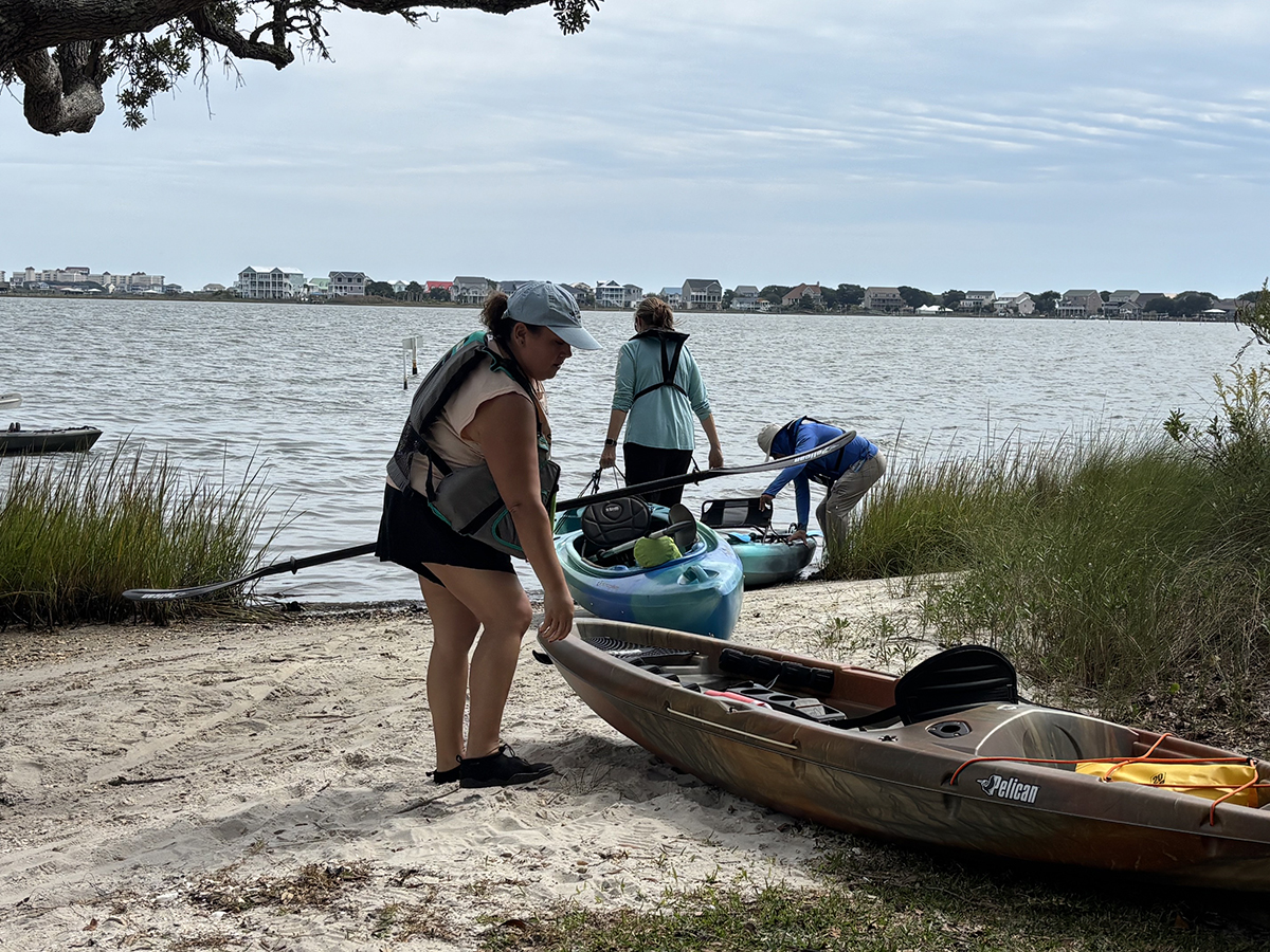
The volunteers were paired into teams of two, each of which was provided a field survey kit that included a long-handled tool with a carved hand-shape-like claw at one end (think backscratcher) and a Secchi disk, which is used to measure water clarity.
Each person checked to make sure they had the ArcGIS Survey 123 app, which is used to collect field data, downloaded on their phone.
Before pushing her kayak into the water, area resident Kathy Ortiz said she knew little about submerged aquatic vegetation before she volunteered for the program after reading about it in an email she received from her neighborhood homeowners association.
“I love water. I love the ocean. I love being out there. I’m a hands-on person. I look at it as valuable information even as a resident to know,” she said.
In all, the volunteers collected seagrass habitat and water clarity data at 15 sites along the bay’s developed shoreline.
“Overall, the survey was quite successful,” White Oak Waterkeeper Christina Boxberger said in an Oct. 12 email. “Our main priority for this event was to gather volunteer feedback on the community science program to better plan our next survey in the spring. The volunteers helped us troubleshoot multiple aspects of the SAV monitoring protocol and training process. This feedback will be helpful for us to improve our pilot program, expand the program to other areas of the state, and hopefully to help support state SAV data collection efforts.”
Coastal Carolina Riverwatch will announce details for its spring community monitoring event on its website and social media pages.
Jarvis said that while she hopes volunteers and researchers will return to Chadwick Bay to follow up on the data collected there this month, researchers want to also work with communities that want to know more about their shallow water areas.
“We’re more than happy to go and learn about another place,” she said. “And, if anybody is interested at all and they don’t necessarily want to do one of the organized events, we’re really excited about working with people one-on-one as well. We’re just excited to work with people and I love talking seagrass so I’m happy to talk to anybody about it.”