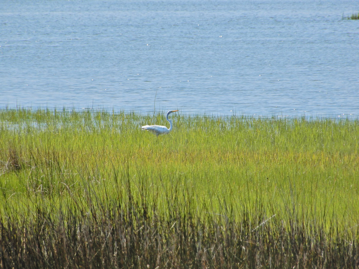
While wetlands exist across the state, nearly all, about 94%, of North Carolina’s 3.9 million acres, lie east of Raleigh and are under threat from development, logging, farming, sea level rise, drought and storms.
To offer guidance on protecting and managing these semiaquatic ecosystems that provide habitat for wildlife and marine life, are critical to seafood production, improve water quality by reducing nutrients like nitrogen and phosphorus in streams, rivers and lakes, and control flooding and erosion, the state produced its 2026 North Carolina Wetlands Program Plan, a voluntary initiative that outlines its wetland goals and strategies through 2030.
Supporter Spotlight

“Wetlands are hidden gems of North Carolina: providing life/water, shelter from the storm, and places of refuge – healing and solitude,” Wetlands Specialist Steve Anderson recently told Coastal Review in an email.
Anderson, who is with the Wetlands Science and Outreach Program, or ncwetlands.org, under the North Carolina Department of Environmental Quality’s Division of Water Resources, and staff worked with a stakeholders group to write the 2026 Wetlands Program Plan.
The North Carolina Wetland Program Plan is “to be a resource that sparks conversation across wetland-focused entities that leads to actions for stewarding the wetlands within our state. We want it to be a document that encourages more fluid cross departmental collaborations, builds relationships and trust across sectors, and maintains the focus of NCDEQ agencies toward common goals,” Anderson said.
The nonregulatory wetlands program plan was built using guidelines from the Environmental Protection Agency’s Enhancing State and Tribal Programs Initiative, established as a way for the federal agency to better support and accelerate wetland program development on a national scale. This initiative offers guidance through its four-part Core Elements Framework: Monitoring and assessment, regulatory activities including Clean Water Act 401 certification, voluntary restoration and protection, and water quality standards for wetlands.
Lay of the wetlands
The plan begins with an overview of the current state of wetlands, which Anderson called, “by and large, a complex topic.”
Supporter Spotlight

“From our research efforts at DWR, in collaboration with multiple universities and federal agencies with prior data, we are finding major structural and functional changes particularly in freshwater forested wetlands near the coast,’ Anderson said. These are wetlands that have historically been dominated by mature trees, but between 1985 and 2021, 21% of forests, about 42,000 acres, have transitioned to marsh wetlands or even open water areas closer to the estuarine coastline.
“In places where we have data over time, we have found 50-90% die-off of trees, and an increase in abundance of salt-tolerant and/or exotic plant species. These changes are a result of rising sea levels, and increased salt concentrations (in soils and groundwater) from droughts and large coastal storms,” he said in the email.
For inland and higher elevation places on the coastal plain, “we are not seeing this shift as freshwater wetlands dominated by trees are retaining their historical condition – it is not all bad news,” Anderson continued.
“Marshes are beginning to ‘migrate’ or expand into the once forested wetland areas, so as sea-level rise caused a decline in marsh abundance on the coast, we expect there are places where they can expand. However, in North Carolina’s coastal counties with dense human infrastructure, salt marshes are constrained to their historical range, and we anticipate a significant decline in their extent in the next couple decades. This loss of salt marsh could make communities in these locales increasingly vulnerable to future hurricanes due to storm surge and likely coastline loss from erosion.”
Between Jan. 1, 1990, and Dec. 31, 2025, a total of 18,864 acres statewide of human-induced wetland impacts were permitted through 14,947 issued Clean Water Act 401 certifications and Isolated Wetlands and Waters permits, 17% of those were from 2020 to 2025, the document states.
According to the document, since 1990, most of the permitted effects have occurred in coastal plain wetlands, “due in part to the majority of the state’s wetlands occurring there.” Large, permitted impacts in Beaufort, Carteret, Lenoir and Wilson counties are attributed to mining, aquafarming, industrial and commercial development, and reservoir creation, respectively.
The total acres of permitted wetland impacts have steadily decreased over the past three decades because of a decline in the number of requested permits and fewer proposals for very large projects such as mining, aquafarming and reservoirs. Also in the last decade, federal and state regulatory changes have narrowed the list of projects requiring permits.
2026 update
The first plan was approved in 2015, and updated in 2021. For this year’s update, the stakeholder group expanded its membership to include representation from state and federally recognized tribes, additional nonprofits, researchers and federal agencies. “DEQ recognizes the deep ancestral ties and traditional ecological knowledge that indigenous tribes hold for the lands within the state of North Carolina,” the plan states.
Anderson said that for past iterations of the plan, there was no engagement with state-recognized tribes and tribal organizations in North Carolina.
“Although we recognize this is only the first step in the right direction toward meaningful engagement, the fact remains that tribal expertise and traditional knowledge must be incorporated into the planning process for the WPP to be comprehensive and applicable to the broader NC wetland community,” Anderson added. “This plan illustrates the importance of expanding wetland-educational resources that encourage communication, partnership, and collaboration among wetland stakeholders, and supports landowners, students, and local and tribal governments in wetland-related efforts.”
Although the goals in the 2026 plan have not dramatically changed since 2021, many of the activities listed have been refined and reprioritized.
The 2026 Monitoring and Assessment goals largely align with developing more collaborative monitoring activities that are comprehensive of all wetland types. “Comprehensive monitoring allows us to assess wetland health across the state, and standardize the tools that are used to best assess wetland health,” he said.
Voluntary wetland restoration and protection continues to be an element that many stakeholders, but not all, agree is increasingly critical for protecting valuable wetland functions.
“More specifically, finding ways to incentivize voluntary protection and restoration for local governments, tribal governments, and non-governmental organizations to champion wetland protection in a time when federal jurisdiction is highly uncertain,” he said. “Many of these voluntary actions focus on the numerous benefits of wetland protection and restoration like maintaining downstream water quality, protecting culturally significant places, and reducing flooding severity to name a few.”
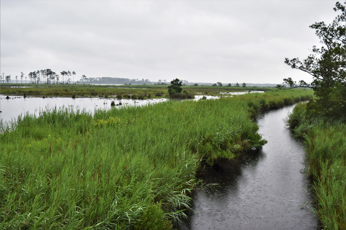
Based on input from the plan’s stakeholders, developing standardized protocols for routine wetlands monitoring across the state and programs is of great interest over the next five years.
State and federal agencies, academic researchers, nonprofit organizations, and the private sector monitor wetlands for various purposes. The work tends to be on a project-by-project basis since to date, the Division of Water Resources does not have a wetland monitoring program or network like other water resources including estuaries, lakes, rivers and streams.
“We do not have a specific mechanism to assess wetland health across the geography of the state over time,” Anderson said, but there are many researchers doing work on wetland health, particularly on the Coastal Plain, and several state agencies including NCDOT and NCDEQ are investing in improvements and recurring spatial imagery that can make satellite imagery powerful for statewide monitoring wetland classes over time. For example, the forthcoming 1-meter resolution National Oceanic and Atmospheric Administration’s Coastal Change Analysis Program.
NCDEQ’s Division of Coastal Management routinely monitors its 44,000 acres protected as 10 sites through the N.C. Coastal Reserve and National Estuarine Research Reserve. The Division of Water Resources has participated in EPA’s National Wetland Condition Assessment, and use the North Carolina Wetland Assessment Method to keep a record of wetland health in publicly accessible wetlands in the Wetland Quality/Function Assessment database and interactive map.
Wetland outreach and education continue to be a key element to the state’s wetland work, as well, Anderson explained.
State, federal wetlands definition aligned
The plan also addresses regulations, which have been among the top concerns for the current Environmental Protection Agency the last few years.
According to the plan, NCDEQ is to continue working with the North Carolina Environmental Management Commission, which determines rules for many of the agency’s divisions, and stakeholders to appropriately respond to federal rule changes, such as the Clean Water Act Section 401 Certification Rule, Navigable Waters Protection Rule’s federal definition of “Waters of the United States.”
Waterbodies that are considered “navigable waters” are federally protected under the Clean Water Act. This means an entity needs a permit to discharge any pollutant from a point source into navigable waters, which is defined as “Waters of the United States,” or WOTUS, in the Clean Water Act. What constitutes WOTUS is determined by the EPA and Army Corps of Engineers through the rulemaking process, not through language in the Clean Water Act.
The EPA and Corps proposed rule “Updated Definition of ‘Water of the United States’” was published in the Federal Register Nov. 20, 2025, opening a public comment period. In response to that feedback, the EPA leadership published Sept. 9, 2026, additional proposed definitions that build on the 2025 proposed updated definition. That 30-day public comment period ended Friday.
Federal leadership said the 2025 and 2026 draft changes are to better align the definition of WOTUS with a 2023 U.S. Supreme Court decision that “clarified that wetlands would only be covered when having a continuous surface connection to waterbodies that are ‘waters of the United States’ in their own right.”
The case, Sackett v. EPA, was filed when an Idaho couple, the Sacketts, contested fines for backfilling wetlands on their property without a permit that the federal agency considered WOTUS. The same year that the Supreme Court ruled in favor of the Sacketts, the state legislature aligned North Carolina’s definition of “wetlands” to the federal through the 2023 Farm Act.
As the regulatory definition of wetlands has changed at the federal and state levels, the 2026 wetlands plan “highlights stakeholder interest for DEQ to provide clear guidance of changes to ‘Waters of the United States.’ Guidance can be improved as state wetland programs identify knowledge gaps through coordination with external stakeholders to provide up-to-date informational resources,” Anderson said.
He told Coastal Review that the “short answer is no” when asked if these proposed changes would affect the plan.
He said he was “confident that stakeholders who participated in this update have raised possible topics and actions in the plan that are directly relevant to nontidal wetlands regardless of the regulatory outcomes at the federal level. However, clarity and consistency of any, and all, Federal and State wetland regulations are of upmost interest and importance to stakeholders, which is addressed in the most supported activities listed in the Regulation core element in the state’s wetland program plan and has been for over a decade.”
Numerous stakeholders voiced the need for incorporating actions that focus on geographically isolated wetlands that are no longer protected by WOTUS, and wetland types that are ecologically and culturally important to North Carolinian’s including peatlands/pocosins and Carolina bays/basins.
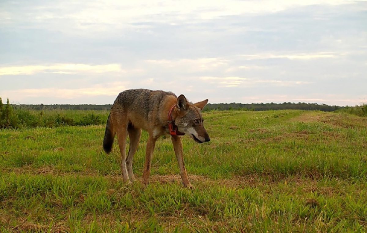
“These are wetland ecosystems that are of exceptionally unique value for clean drinking water, flood protection, carbon sequestration and/or wildlife habitat for species like red wolves and Venus flytraps that are found nowhere else on the planet. They also hold deep cultural importance to many North Carolinians,” he said.