There’s been a lot of talk and writing about how ocean levels have been rising and will continue to rise. The current projections are that the ocean will rise an estimated 12-14 inches by 2050 and ever higher in the ensuing decades.
With all of the very technical and well-researched and documented writing published about this topic, let’s take a look at what that means for us as anglers and other people who enjoy the coastal waters.
Supporter Spotlight
Fourteen inches of rise may not seem like a big deal when accounting for the vastness of the entire ocean, but there will be definite changes. They won’t be great.
Dr. Shintaro Bunya, an avid angler, is also a research scientist at the University of North Carolina at Chapel Hill’s Center for Natural Hazards Resilience. His work involves hydrodynamic and coastal modeling, specializing in developing and applying numerical models to simulate and forecast storm surges, compound flooding and the general physics of coastal water movement.
His goal is to provide the data and tools that government agencies and local communities need to better understand and prepare for coastal flood risks. This all means that he is right in the middle of what is going on concerning coastal flooding.
First, let’s talk about tides. It will happen gradually but the number of times the tide will rise over the streets in coastal towns will increase.
“The data confirms that sea levels are not just rising; the rate of that rise is accelerating,” Bunya recently said to me.
Supporter Spotlight

Obviously, this will make it more difficult for smaller beach towns than bigger cities due to limited resources, but even the biggest coastal cities like Miami and New York will have problems with saltwater in the sewage treatment plants. South Florida towns already see high tides coming into lawns almost every day. Some days the low tide will be what the high tide used to be.
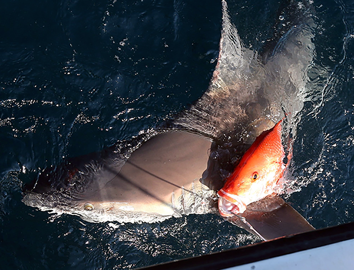
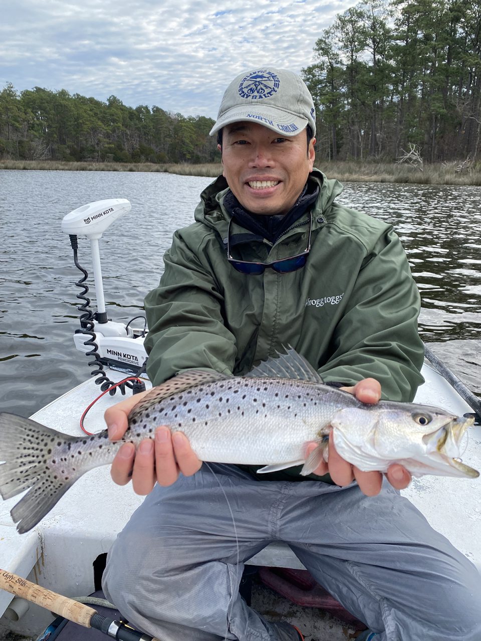
Higher tides will disperse fish over wider areas. With more places to access, fish will be more difficult to locate. It’s likely that they will be less abundant, also because of increased pressure on fish populations from humans and water quality issues. What this means is that fishing will become increasingly difficult and individual anglers will have less and less success.
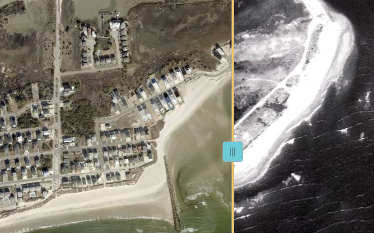
Access to the water will become increasingly difficult as well. Many of the places we use now may become inaccessible as water rises, as documented by the National Oceanic and Atmospheric Administration.
“According to NOAA’s tide gauge measurements, we have observed about 11 inches of rise since 1950 along the North Carolina coast and we face a unique challenge here because our land is also slowly subsiding (sinking),” said Bunya.
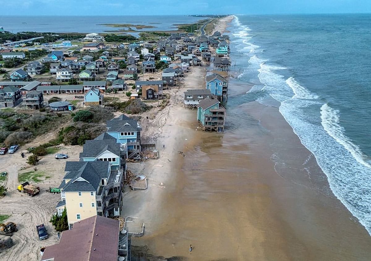
Let’s take boat ramps for example. These are already built upon the lowest ground available in order to accommodate parking next to the water. During high tide conditions, parking lots may become flooded, ironically making the ramp unusable due to there being too much water.
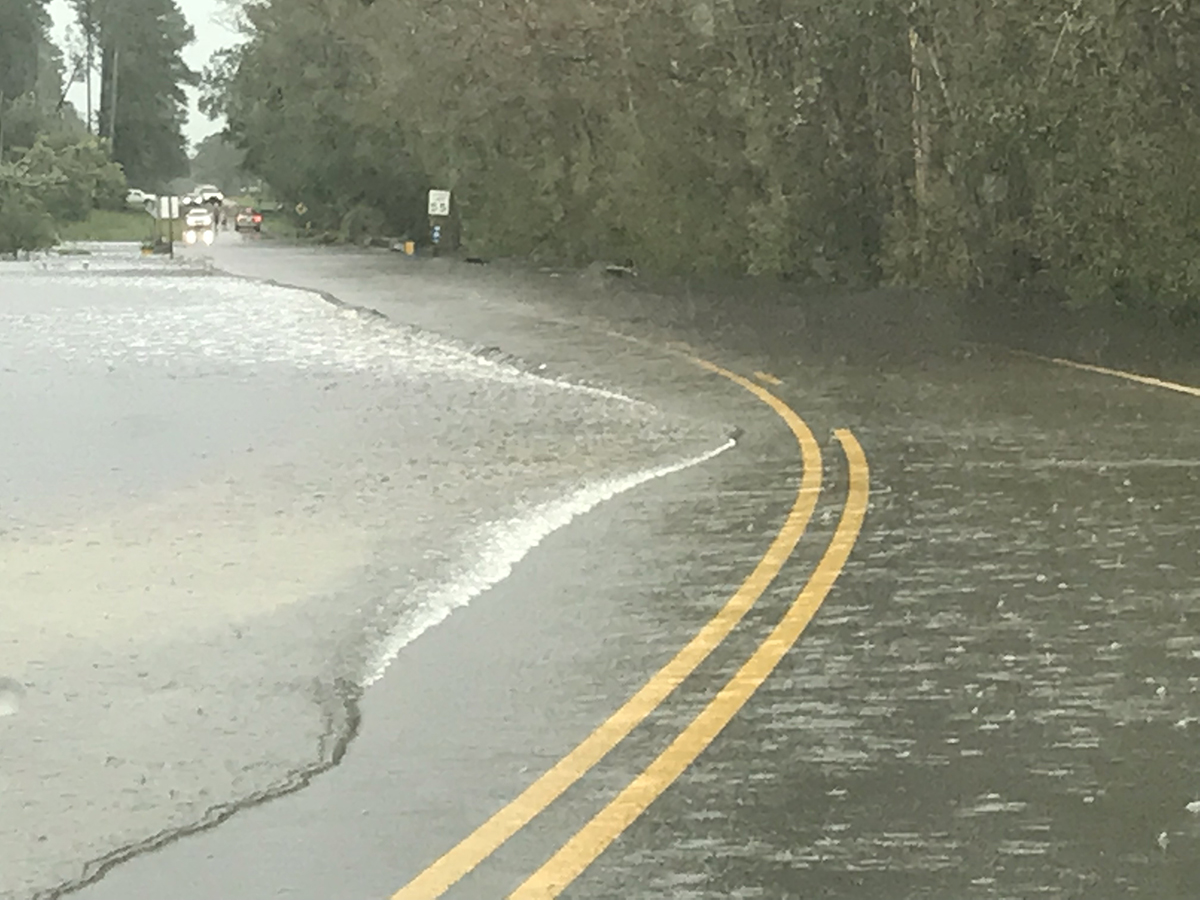
Some communities may become unlivable. In certain areas, high tides will make it impossible to access places. At this time, only the very highest tides cause this flooding. The popular term that has been coined by the TV weather stations is “King Tides.” These are the very highest water level periods, which coincide with the periods of full moon, especially during September and October.
People who live in Down East Carteret County are familiar with having to drive alternate routes or even plan their trips to the grocery store around the tides.
“What was once considered a ‘100-year flood’ is happening much more frequently,” Bunya said. “We are seeing a marked increase in high-tide flooding (often called ‘sunny day flooding’), where coastal streets and yards flood even without a storm, simply because the tide is higher than it used to be.”
Higher tides such as these will occur more frequently. Anglers will find the fish so spread out they will be extremely difficult to locate. In many places, as has been already mentioned, the tides will get so high that locals will find themselves stranded for hours and possibly days at a time. Military-style vehicles with super-high ground clearance will be needed in order to drive around numerous coastal communities. Going fishing will not be a great concern.
Personally, I have been stuck with no recourse a time or two already and have had to either take long detours or find a place to hang out as the water receded. The increased sea levels will make it harder for commercial fishers to make a living in seaside communities because access points will become inaccessible and because the fish will be more difficult to locate. Also just driving from one place to another will be difficult in these places.
According to a 2024 NOAA report, Beaufort will face 60 high-tide flooding days by 2050 and 338 by 2100. Wilmington will experience 30 high-tide flooding days by 2050 and 323 by 2100. This will make it extremely difficult to travel and work in those communities. From there on, the situation only gets worse.
Again, according to Bunya, “By the end of the century, we are looking at a likely range of 2 to 4 feet of rise, though scenarios up to 7 feet are possible.”
So the next several decades will provide challenges to already existing infrastructure such as bridges and culverts that were not built to withstand such saltwater intrusion. The groundwater will be inundated and the tillable soil in areas such as Open Grounds Farm, a roughly 45,000-acre farm in Down East Carteret County operated by a corporation based in Italy, will be threatened. Work and school will be disrupted due to the inability to travel. Tropical storms will be more of a problem in the future because storm surge will be on top of higher water levels than measured historically.
There is a lot to ponder here. Hiding our heads in the disappearing sand will not make the problem go away.