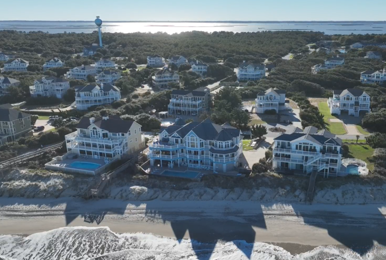
Currituck County is looking for public input on a nearly 200-page draft beach management plan that officials said will guide management, protection and restoration of the county’s 22.6 miles of oceanfront beaches and dunes, and address coastal hazards such as long-term erosion, storm impacts, and sea level rise.
The draft document can be viewed on the county website.
Supporter Spotlight
“The Plan provides a long-term vision for Currituck County to sustain the beaches that support a significant portion of their local economy and maintain the tax base located along the County’s beaches,” officials said on the website. “The Plan recognizes that beaches are a critical economic asset, supporting tourism, property values, and the County’s tax base. The overarching goal of the Plan is to preserve tourism-driven revenues while improving coastal resilience.”
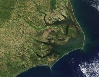
The document features an evaluation of coastal hazards and vulnerability, introduces general management concepts that could be implemented, and a feasibility analysis detailing four separate reaches, or sections of coastline, along the Currituck County oceanfront that were identified for active beach management.
The feasibility analysis was applied to the North Corolla Reach, the Spindrift Reach, the South Pine Island Reach, and Central Reserve/Refuge Reach, which includes beachfront for the Currituck National Wildlife Refuge and the Currituck Banks Estuarine Reserve. Several alternatives were developed and evaluated for each.
Officials are encouraging asking specifically for feedback on the feasibility analysis on whether other reasonable alternatives should be considered for the four areas of coastline.
“If citizens believe that additional considerations should be made in these assessments, comments submitted will also be considered,” officials said on the website.
Supporter Spotlight

Comments can be submitted through the county website.