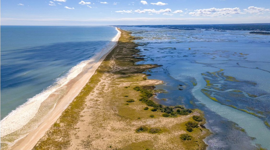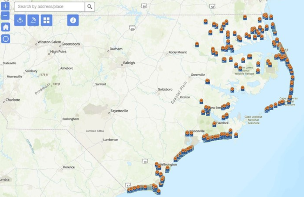
Residents and visitors to the North Carolina coast this summer may tap an interactive public map that provides the locations of public beach and waterfront accesses.
The beach and waterfront access map, which may be directly accessed from mobile devices and desktops, includes a “find sites near me” feature that locates sites within 10 miles of a user.
Supporter Spotlight
The online map includes the locations and available amenities at those locations at more than 800 local, state and federally funded public accesses along North Carolina’s ocean beaches and estuarine waters.
The map features a “my location” tool, which pinpoints a user’s location, a “near me” tool that searches accesses within 1 to 10 miles of a selected location, a filter tool that allows users to search for accesses based on available amenities, including restrooms and showers, and a basemap tool that allows users to switch between several map styles, including satellite imagery, and street and topographic maps.
The map is made available by the N.C. Department of Environmental Quality’s Division of Coastal Management Public Beach and Coastal Waterfront Access Program, which provides funding to purchase land and construction projects, including walkways, dune crossovers, restrooms, parking areas, and piers, that improve pedestrian access to the state’s beaches and waterways.
Since the program began in 1981, 538 grants totaling more than $56.7 million have been awarded.
For questions and comments, email Rachel Love-Adrick at Rachel.love-adrick@deq.nc.gov. Include the site location in your correspondence.
Supporter Spotlight