Government officials are reminding the public to travel safely and take precautions as eastern North Carolina braces for a large and slow-moving coastal low to bring rain, strong winds, coastal flooding and hazardous beach conditions starting Wednesday.
National Weather Service forecasters at the Wakefield, Virginia, and Newport offices, as of Wednesday morning, project northeast winds of 30-40 mph with gusts up to 50 mph beginning in the afternoon through Thursday evening along the Atlantic coast and Currituck Sound.
Supporter Spotlight

A coastal flood warning is in effect for oceanside areas from Oregon Inlet to Ocracoke and coastal flood advisories are in effect for oceanside areas from Duck to Oregon Inlet, and for areas adjacent to the southern Pamlico Sound and Neuse River.
Ocean overwash may inundate portions of N.C. Highway 12 on Hatteras and Ocracoke Islands. Minor ocean overwash and dangerous surf conditions are likely to continue into the weekend along the Outer Banks during high tides, forecasters said.
Dare County officials reiterated Wednesday the weather service’s projection for 2 to 4 feet of inundation above ground level flooding is possible for Hatteras Island’s oceanfront and could result in significant ocean overwash beginning as early as 6 p.m. Wednesday during high tide. Conditions are expected to worsen with subsequent high tides, with the most significant impacts anticipated to start Thursday morning and potentially continue into the weekend.
“Large waves and prolonged rough surf are also expected to result in significant beach erosion, particularly in areas with vulnerable or compromised dune structures,” the county added. “Residents and visitors along the oceanfront—especially those in areas such as the north end of Rodanthe and portions of Buxton—should remain alert and be prepared to take action to protect property from ocean overwash.”
North Carolina Department of Transportation officials advised travelers on Tuesday to that difficult driving conditions along N.C. 12 are likely this week, particularly south of the Basnight Bridge. Overnight travel may become especially hazardous at times, and temporary closures of the highway are possible.
Supporter Spotlight

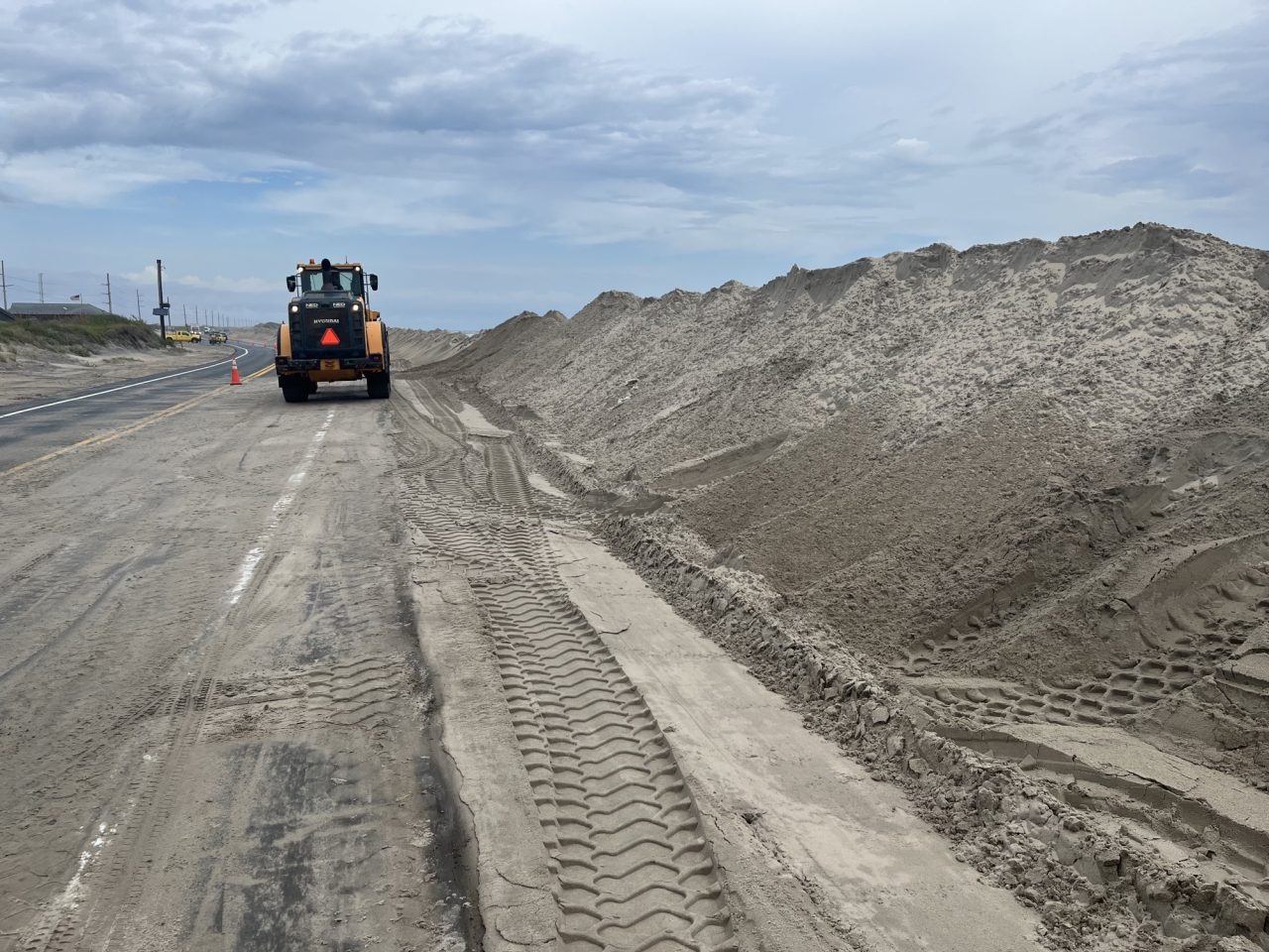
NCDOT said crews have been working to fortify protective dunes on Pea, Hatteras and Ocracoke islands and improve roadway drainage ahead of the storm. Equipment is also being staged in vulnerable areas, with crews on standby to respond to any impacts.
“Everyone is encouraged to minimize unnecessary travel as conditions deteriorate. If you encounter a flooded roadway, turn around, don’t drown. Never drive around barricades or other barriers that have been placed to close a road,” Dare County officials reminded the public.
Cape Hatteras National Seashore officials said Tuesday that east-facing beaches are expected to experience ocean overwash and should be avoided by off-road vehicle drivers during the storm period. Routes may become inaccessible and vehicles could become stranded.
Visitors should avoid the beach in northern Rodanthe, due to the presence of threatened oceanfront structures, and swimming in the ocean should also be avoided along all east-facing beaches during the storm period, the park service added.
The Wakefield and Newport offices cover all coastal counties except for Brunswick, Pender and New Hanover, which is under the Wilmington office. Meteorologists there expect that region to be a cloudy and cool through Thursday and minor flooding is possible over the weekend.