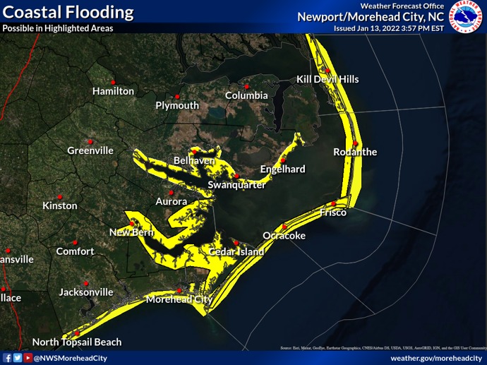
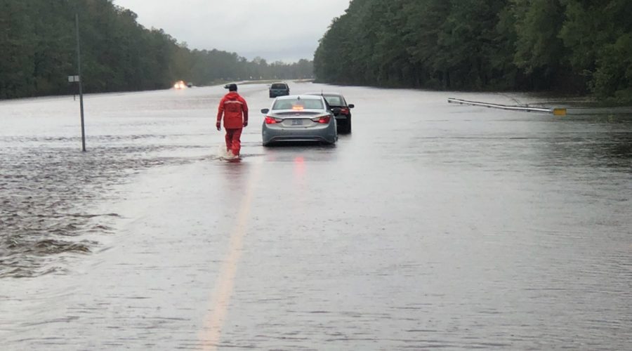
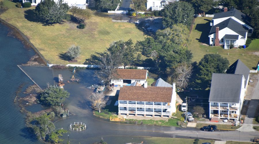
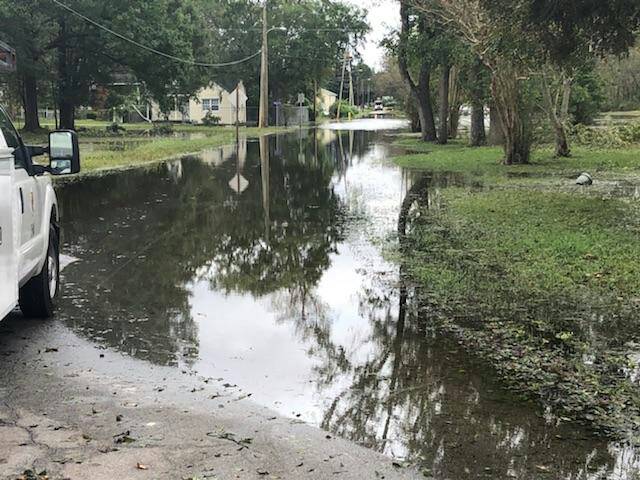
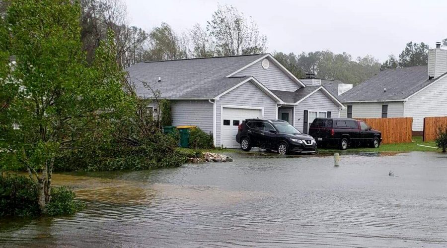
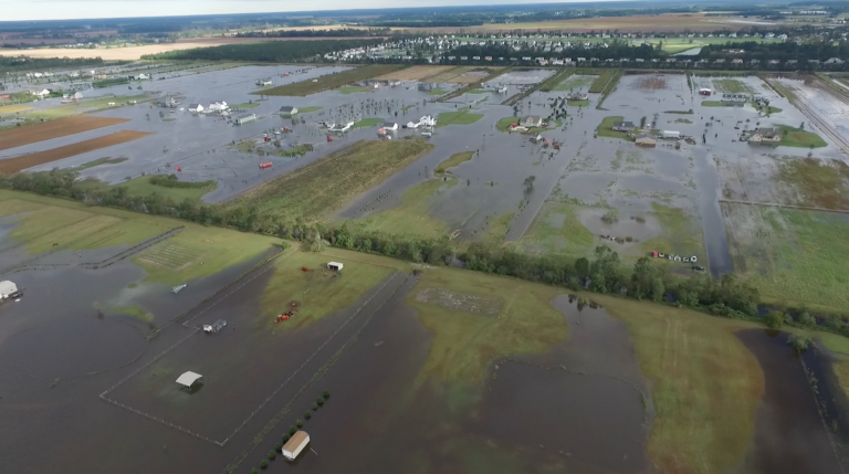
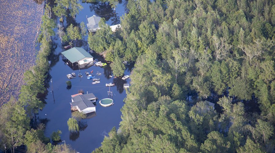
A strong low-pressure system is expected to impact eastern North Carolina late this weekend.
flood
Years of flood disasters drove NC’s new resiliency funding
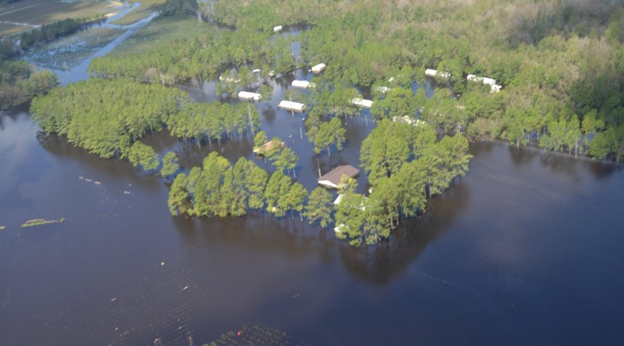
After years of climate disasters across North Carolina, the newly approved state budget includes hundreds of millions of dollars for new programs and initiatives to address flooding and bolster resilience to storms.
Storm drain sensors show more frequent nuisance flooding
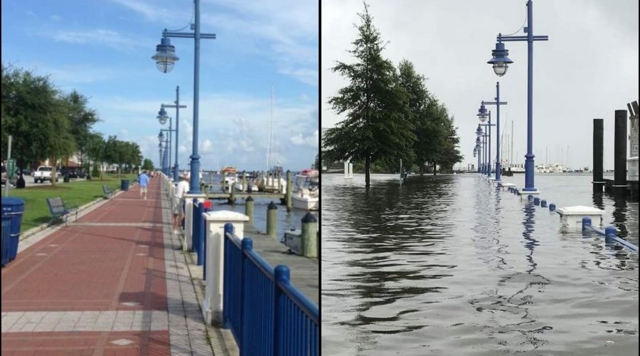
“We’ve already started seeing how coastal communities are experiencing flooding more often than they were before and especially on sunny days, outside of storm events when tides are particularly high,” says UNC researcher Miyuki Hino.
Coastal storm to bring flooding, strong winds, heavy rain
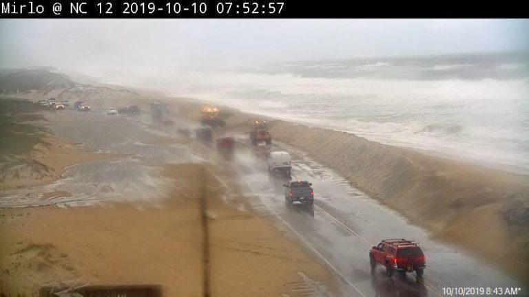
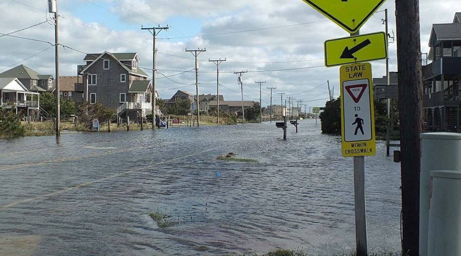
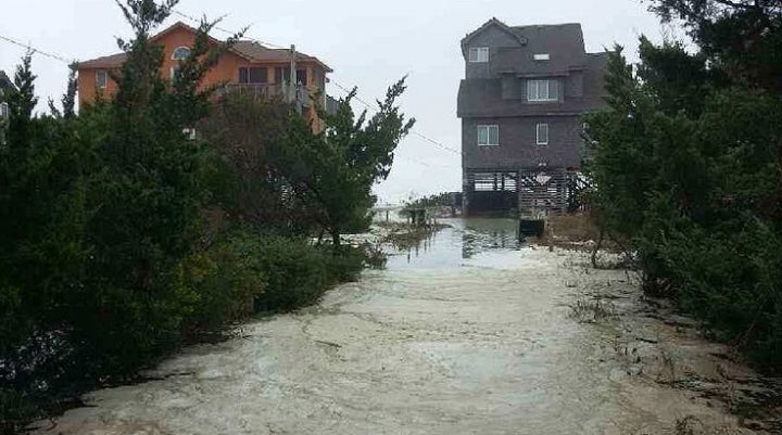
N.C. 12, the Outer Banks’ major highway, could become impassible over the weekend from ocean overwash as a coastal low moves along the coast.
FEMA seeks comment on National Flood Insurance Program
FEMA is calling for feedback on the program’s management and impacts on threatened and endangered species and their habitats.
New Bern receives $1M to demolish flood-prone homes
The state and FEMA awarded New Bern close to $1 million to demolish eight flood-prone homes.
Swansboro family’s home kept flooding; state bought it
Zena Underwood and her husband Mark saw their home flood repeatedly, including during Hurricane Florence, before a state buyout program helped them move and took the property off the market for good.
Currituck to receive $1M grant to raise 7 flood-prone homes
The state and FEMA have approved a hazard mitigation project grant of $1 million to improve disaster resilience in Currituck County.
Study finds combined threats to water quality after flooding
Results from a recent NC State study highlight the double whammy of microbial contamination of surface waters posed by failing human wastewater infrastructure and animal agriculture after storm inundations.
State, FEMA approves millions to help flooded homeowners
Dare County has been awarded $4.2 million to elevate homes, one of the many counties to be awarded through the North Carolina Emergency Management and FEMA Hazard Mitigation Program.
Flood-resilience study reveals solutions, big challenges
The large-scale Stoney Creek project in Wayne County has shown that using natural and working lands to hold back stormwater can be an effective solution to repeated flooding of homes and infrastructure, but some places face a losing battle.
Consensus builds for major flood mitigation legislation
The House and Senate continue to address flood prevention and resilience in this year’s session of North Carolina General Assembly.
Beaufort County Gets $1.6M to buy flood-prone properties
Beaufort County has been approved for more than $1.6 million to acquire, demolish and remove 19 residential structures in Washington that were flooded after Hurricane Florence in 2018.
House moves ahead on budget, flood mitigation plan
A House environment committee was to review flood resilience and mitigation legislation Tuesday and budget committees are set to begin meeting Wednesday.
NC, FEMA to acquire 31 flood-prone properties in Pender
The state and FEMA approved $6.5 million to acquire 31 flood-prone properties in Pender County that will be converted to open space.
Avon to hold hearing on beach sand, flood control project
Dare County commissioners are set to hold a public hearing to consider proposed county service districts to help pay for a proposed more than $12 million beach nourishment project to address N.C. 12 overwash in Avon.

