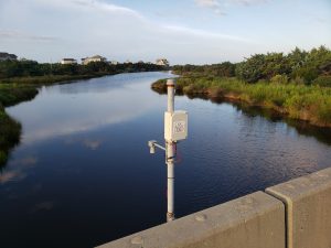
The Flood Inundation Mapping and Alert Network, or FIMAN, has recently launched an online tool that gives residents and visitors access to real-time flood gauge data to help determine flooding risks for their area.
flood
Using Flood Exposure Maps Webinar Set
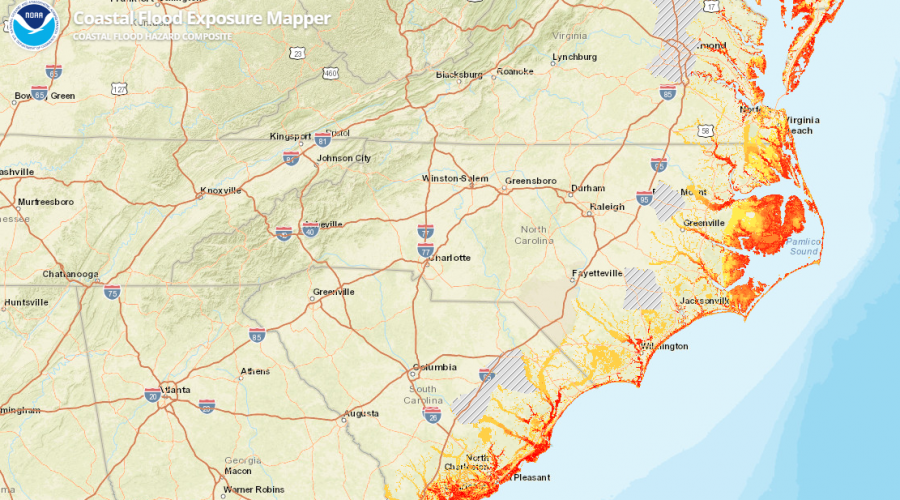
A 40-minute webinar is scheduled for July 16 for users to better understand the NOAA Coastal Flood Exposure Mapper tool that helps visualize the risks of flooding in a community.
Flood Insurance Workshops Set
The N.C. Department of Insurance is offering in July five flood insurance conferences, with two on the coast, to help the public, insurance and real estate agents statewide understand the need to purchase flood insurance .
On Flood Control, The Dutch Are Masters
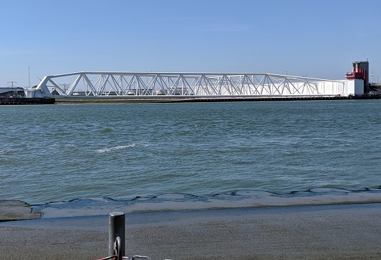
The storm surge barrier near Rotterdam, Netherlands, a feat of engineering, is but one example of what coastal North Carolina can learn from the Dutch about flood prevention.
Increased Flooding Plagues Tyrrell County
Tyrrell County residents are looking for solutions to ease the increased flooding in their communities caused by more intense rainfall and an old, poorly maintained drainage system.
Outer Banks Towns Dig For Flooding Fixes
Outer Banks officials are tapping state grants, partnering on studies and taking other steps to address increasingly persistent flooding and faulty, inadequate drainage systems.
Flood Mitigation Outreach Meetings Set
Eastern North Carolina communities have scheduled workshops and meetings for residents to learn about FEMA flood mitigation programs and information on storm preparation.
Report: Florence Broke 28 Flood Records
The U.S. Geological Survey has confirmed what many residents of the Carolinas already knew: Hurricane Florence brought record flooding.
Flood Shows Benefits of Conservation Deal
Conservationists say the Coastal Land Trust’s purchase earlier this year of about 3,000 acres along the Waccamaw River proved beneficial during Hurricane Florence’s flooding.
Improving NC’s Floodplain Buyout Program
David Salvesen and Todd K. BenDor of UNC-Chapel Hill explain in today’s guest commentary their research on identifying ways to improve the floodplain buyout process in North Carolina.
Flooding, Power Outages Affect Outer Banks
What was left of Hurricane Michael created significant soundside flooding from Duck to Hatteras and knocked out power to more than 5,000 customers late Thursday.
Flooded Again: Long-Term Fixes Needed
A recent report found that government buyouts for getting people out of floodplains haven’t worked, partly because residents return or relocate to areas proven vulnerable to flooding.
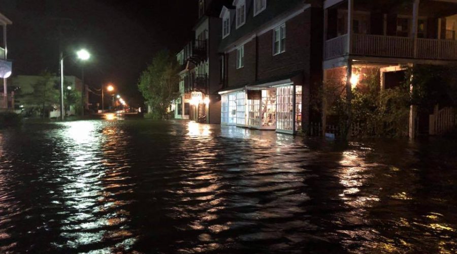
Michael’s Surge Floods Manteo
Businesses and streets in downtown Manteo are inundated Thursday night by storm surge associated with Tropical Storm Michael, which receded fairly quickly after catching many off guard. Photo: Cory Hemilright
Flooding Threatens Coastal Water Quality
The aftermath of Hurricane Florence has put at risk water quality due to flooding two coal ash plants and several hog lagoons plus partially treated sewage spilling into the Cape Fear River.
Parts of NC Coast Remain Isolated, Flooded
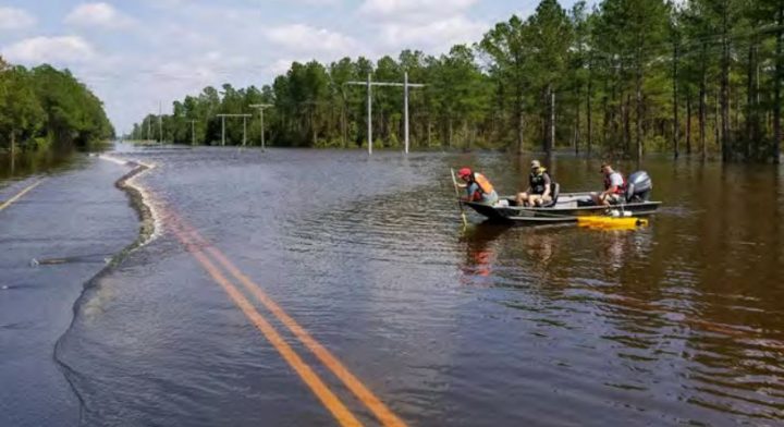
A week after Hurricane Florence and just as some beach towns begin to allow re-entry for residents and contractors, parts of eastern North Carolina are cut off by flooding and otherwise impassable highways and roadways.
Nags Head Commits to Attacking Flooding
Nags Head officials during a meeting released a statement Wednesday assuring visitors and property owners that the town is taking steps to mitigate flooding of streets and private property.

