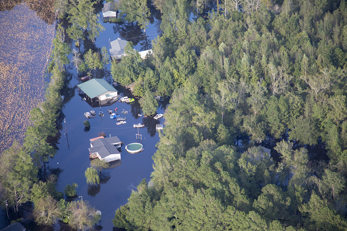
The state is funding the development over the next three years of five community floodprint reports to guide initiatives in areas of eastern North Carolina hit hard by hurricanes Matthew and Florence.
The North Carolina Office of Recovery and Resiliency, or NCORR, has committed funding to the N.C. State University Coastal Dynamics Design Lab to create the floodprint, “a valuable tool for building future community resilience,” the state announced Friday.
Supporter Spotlight
The floodprint is a landscape planning approach developed by Coastal Dynamics Design Lab, or CDDL, to address land and water relationships. The planning process will incorporate issues such as flooding, recovery and equity.
Coastal Dynamics Design Lab will work with five focus communities to develop a community master plan/floodprint and design proposals that can then be used to apply for grant funding.
Communities interested in participating can reach out to buyout@rebuild.nc.gov.
“Our partnership with CDDL will result in community-based plans that address resiliency and development challenges,” NCORR Director Laura Hogshead said in a statement. “We have already seen positive outcomes from the development of floodprints and refer to them when determining local needs for disaster recovery and community resilience.”
NCORR launched the collaboration in January using U.S. Department of Housing and Urban Development, or HUD, Community Development Block Grant-Mitigation funds.
Supporter Spotlight
Potential candidate communities for the floodprint process must be within the Most Impacted and Distressed, or MID, areas, as identified by HUD or the state. Other considerations include community interest and flood-vulnerable properties.
“Community floodprints are co-created with local input through public meetings and discussions, so the recommended strategies fit the needs of the people who live there,” said Andy Fox, co-director of Coastal Dynamics Design Lab.
“The new collaboration with NCORR is critical to scaling up our work to better serve people and places across eastern North Carolina,” Fox added. “The partnership builds on past successes working with NCORR staff and represents a significant opportunity to provide communities with the technical assistance required to expedite ongoing recovery efforts and attract the resources needed for long-term resiliency and full community health.”
The first of the five new floodprints will focus on Whiteville in Columbus County. Town leaders were contacted and offered the floodprint opportunity as a good fit for their community.
Floodprints have been useful for NCORR’s ReBuild NC Strategic Buyout Program, which buys eligible properties in areas at high risk of future flooding. The properties are purchased from owners who voluntarily decide to sell their property and relocate to a safer place.
To date, CDDL has designed four floodprint reports for North Carolina communities, including Lumberton phases one and two, Princeville and Pollocksville.
The completed floodprints have established the groundwork for actionable plans and have resulted in millions of dollars of additional grant-funded investments to implement the activities outlined in the reports, officials said.
“The partnership with CDDL will provide valuable tools as the Strategic Buyout Program expands in eastern North Carolina,” said Maggie Battaglin, NCORR’s buyout program manager. “The floodprint report for Pollocksville has already been useful as we begin to offer buyout options for flood-damaged properties in that community.”
More information about the floodprint initiative is on the CDDL website. Learn more about NCORR and the Strategic Buyout Program at ReBuild.NC.Gov.


