The North Carolina Coastal Resources Commission is to meet next week to consider proposed language amendments for inlet hazard areas.
The meeting for the commission, which establishes policies for the N.C. Coastal Management Program and adopts rules for both the Coastal Area Management Act and the N.C. Dredge and Fill Act, will begin with a field trip to Ocean Isle Beach’s terminal groin at 3 p.m. on April 15.
Supporter Spotlight

The full commission meeting is scheduled for 9 a.m. on April 16 at 111 Causeway Drive, Ocean Isle Beach. An in-person public comment period is scheduled for 9:30 a.m. that day. The public may sign up to speak upon arrival at the meeting.
Members of the public may attend in-person or join the meeting Thursday through the North Carolina Department of Environmental Quality’s YouTube channel.
The commission establishes areas of environmental concern, which are authorized under CAMA, and are the bases of the permitting program for regulating coastal development.
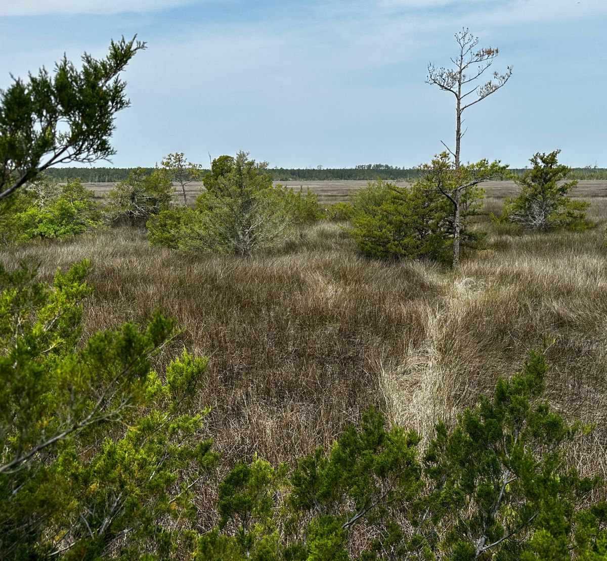
There are three types of ocean hazard AECs: ocean erodible, inlet hazard, and unvegetated beach.
The ocean erodible area is “the area where there exists a substantial possibility of excessive erosion and significant shoreline fluctuation,” and the inlet hazard area is defined as “locations that ‘are especially vulnerable to erosion, flooding and other adverse effects of sand, wind, and water because of their proximity to dynamic ocean inlets,” according to the division, which carries out the rules and regulations for the commission.
Supporter Spotlight

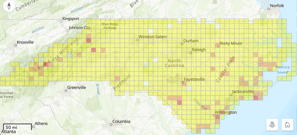
During the meeting, the commission will consider ocean erodible area and inlet hazard area erosion rates and setback factors.
The division has since 1979 used the same long-term erosion data to determine construction setbacks in inlet and ocean hazard areas, and to establish the landward boundaries of ocean erodible areas of environmental concern.
The commission’s setback rules are used to site oceanfront development based on the size of the structure according to the graduated setback provisions. In areas where there is a high rate of erosion, buildings must be located farther from the shoreline than in areas where there is less erosion. The size of the structure determines how far back a house must be located away from the shoreline.
Because of limited data and resources, erosion rate setback factors within inlet hazard areas have traditionally been based on the rates of adjacent ocean erodible areas.
“Given the rapid changes that can occur at inlets, this method has often resulted in setback factors that underestimate the true erosion dynamics of these areas,” division documents state.
During the commission’s August 2025 meeting, Dr. Laura Moore, the chairperson of the commission’s Science Panel on Coastal Hazards, presented the panel’s recommendations on updated boundaries for inlet hazard areas and ocean erodible areas, and their corresponding erosion rate setback factors.
A subcommittee was appointed at the time to evaluate the possible changes, and presented its recommendation during the February meeting.
Updating ocean hazard area boundaries for inlet hazard areas and ocean erodible areas, along with the associated erosion rate setback factors, requires rule amendments to reference the updated report and maps, documents continue.
Because inlet hazard area boundaries have remained static and adjacent ocean erodible area erosion rates were applied within the inlet hazard areas, the primary amendment has been to the rule “to simply reference the updated oceanfront erosion rate report. However, this update includes revised IHA boundaries and inlet-specific erosion rates within IHAs, necessitating additional rule amendments to reference the applicable reports, maps, and use standards,” documents explain.
Division staff noted that the 2025 study is consistent with previous update studies, in that inlet hazard area boundaries at undeveloped inlets were not analyzed.
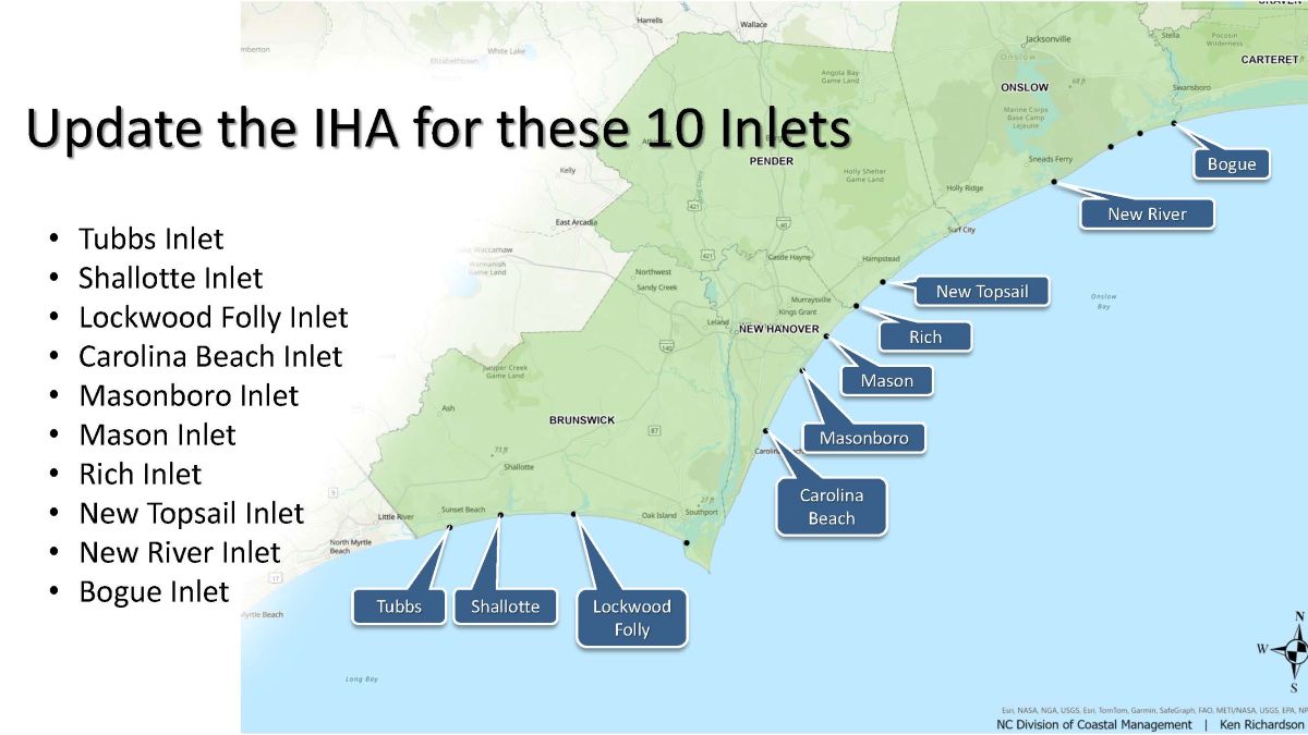
The commission at this month’s meeting is to consider approving rule amendments that reflect the subcommittee’s findings and recommendations and supported by the Coastal Resources Advisory Council, updated inlet hazard boundaries, and updated ocean erodible areas and inlet hazard areas erosion rate setbacks, to include ocean erodible areas landward boundaries.
Division staff are to recommend removing the inlet hazard area designations from Little River Inlet, New River and Brown’s Inlets at Marine Corps Base Camp Lejeune, Bogue Inlet at Hammocks Beach State Park, Barden Inlet, Ocracoke Inlet and Hatteras Inlet.
“It is important to note that while inlet hazards are present at these sites, these areas are not being developed,” staff said.
In addition, division staff are to present updates on septic systems within the ocean hazard areas of environmental concern, consider draft rule amendments for human-made ditches requested by a petition for rulemaking, and a permit for temporary weather monitoring structures on the beach in the ocean hazard area of environmental concern.
The full meeting agenda and briefing materials are on the commission’s website.