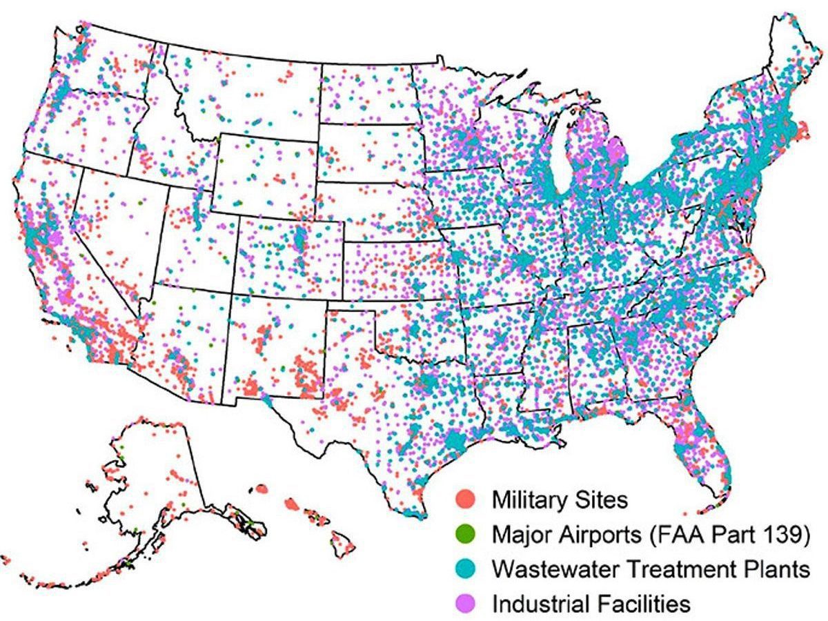
The U.S. Geological Survey has launched an online tool that helps identify the likelihood of PFAS in local tap water.
Scientists with the federal agency have created an interactive map that allows viewers to see data from a USGS study on per- and polyfluoroalkyl substances in tap water and known sources of PFAS throughout the country.
Supporter Spotlight
PFAS, often referred to as “forever chemicals,” are thousands of manmade chemical compounds used in consumer goods that include everything from food packaging and waterproof clothing to non-stick cookware and stain-resistant carpet. These chemicals are also used in firefighting foams.
PFAS have been found in drinking water sources, including the Cape Fear River, throughout the country.
Scientists are studying the potential health effects of different types of PFAS – there are more than 10,000 – in humans. Health studies so far indicate at least some PFAS impact immune response in people, may result in low birthweight in infants and increase the risks of certain types of cancers.
View the dashboard
Visit https://geonarrative.usgs.gov/pfasustapwater/ to view the “PFAS in US Tapwater Interactive Dashboard.”


