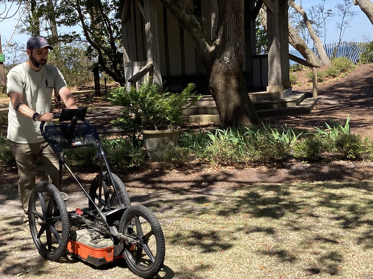
ROANOKE ISLAND — At first take, it was as dull as watching someone mow a lawn. But the man pushing an odd, three-wheeled cart back and forth over an open, grassy area at the Elizabethan Gardens on Wednesday could help archaeologists find one of the most significant locations in Colonial American history: the place where Native Americans had their first contact with the English.
“He’s looking for anomalies below 9 feet,” explained Eric Klingelhofer, a veteran archaeologist and founding member of the nonprofit First Colony Foundation, who was observing nearby.
Supporter Spotlight
Robert Chartrand, owner of Chartrand Geoarchaeological Solutions of Williamsburg, Virginia, was using GPS technology to survey about a fifth of an acre within the gardens that archaeologists believe could potentially contain artifacts from the Algonquian village of Roanoac, whose members interacted with English explorers in 1584.
Klingelhofer, one of the foundation’s vice presidents for research, said that reexamination of a previous 1953 exploration done by National Park Service archaeologist Jean C. Harrington indicated that there may be more to find.
During a dig that year at the Elizabethan Gardens, which is owned by the Roanoke Island Historical Association and is supported as a subsidiary of the Garden Club of North Carolina Inc., Harrington had unearthed a portion of a Colington Ware pot that was likely from the 1500s, according to a 2022 paper by Klingelhofer and Eric Deetz, “Searching for Roanoac, Archaeology in the Elizabethan Gardens 1953-2022.”
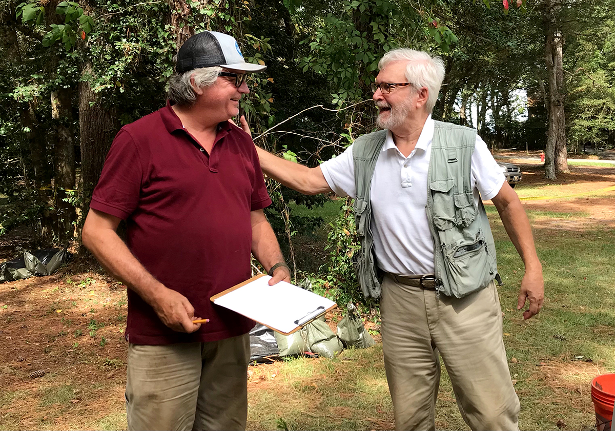
But in the foundation’s recent review of Harrington’s field notes, which were provided by the National Park Service, it appears that Harrington’s digs stopped at about 6 feet, rather than the 9-foot depth where circa-1600s artifacts would be, Klingelhofer recently explained to Coastal Review.
“So, we’re going to get a much better picture,” he said, watching as Chartrand worked. “About 90% of the grassy area here is untouched.” That means when the archaeologists reach the Native American ground surface level and go below it, they would have a better chance of finding evidence, such as post holes, food storage pits, or midden, than if the area had been disturbed.
Supporter Spotlight
Chartrand, who is an archaeo-geophysicist, had also worked with archaeologists at Jamestown Island from 2015 to 2019. Although it looks like he’s simply pushing a cart with a small box in the middle, the description of his work is complex and highly technical.
“I’m systematically collecting data at certain intervals,” he explained in the simplest terms.
Every foot or so, working to the east, then to the west, from the center line he marked out on the grassy area on the north end of the gardens, the attached GPS device takes an image 1.5 to 3 meters, or about 5 to 10 feet, below the surface.
Once the data is collected, Chartrand will use software with a standard ground-penetrating radar program to interpret it.
“I can look at the cross section and then I’ll be able to create a 3D image based on all the lines (of data) I’ve collected,” he said, adding that the image is a bird’s-eye view.
“I can change the elevation so I can see the progression of what’s beneath the surface.”
Chartrand said that, in essence, the algorithm defines “unknown space based on known space” on the landscape. The program uses standard coordinates, which he defines, so that any ground-penetrating radar operator can later find them.
“So if an archaeologist wants to go back to excavate a subsurface anomaly, they can relocate it with the GPS,” he said.
The final report will take about a month to complete. At that point, the First Colony Foundation will determine whether excavation is warranted, Klingenhofer said. If so, it would have to be conducted with the cooperation of the Elizabethan Gardens, and the funds for the dig would have to be raised by the foundation.
“The Elizabethan Gardens is a memorial to the lost colonists and will forever be a part of that mystery,” said Elizabethan Gardens Executive Director Theresa Armendarez in an April 11 foundation press release. “To find artifacts from that time in America’s early history would be an exciting addition to our unique history.”
As the first of the 1584-1590 Roanoke Voyages, Sir Walter Raleigh sent explorers Philip Amadas and Arthur Barlowe on two ships to Roanoke Island with a mission to investigate land west of the barrier islands.
When the explorers landed on the island, Algonquian leaders greeted them. The Natives later shared food and clothing with the English strangers and invited them to warm over their fire at their village, which the explorers described as “nine houses, built of cedar, and fortified round with sharp trees.”
“This notable moment of hospitality, where Englishmen first entered the home of an Algonquian noblewoman, and were treated with such respect and kindness, is the true First Contact between the cultures,” according to the paper.
Those first English visitors were dazzled by the Natives. “We found the people most gentle, loving, and faithful, void of all guile and treason, and such as lived after the manner of the golden age,” the explorers wrote.
Unfortunately, the good feelings did not last long, with later Roanoke voyages marked by attacks on tribes and retaliation by the Native Americans, perhaps leading to the failure of the 1587 settlement of 117 men, women and children which disappeared without a trace.
While the so-called “Lost Colony” that was last seen in August 1587 gets the most attention, the foundation, from its beginning in 2003, has been focused as much on the earliest English explorations on Roanoke Island. They served as a lesson plan for later colonization in 1607 at Jamestown.
Whether or not there are anomalies found by Chartrand’s technology, the work will lead to an answer of where — or where not — to look for Roanoac and the “Point of First Contact,” Klingelhofer said.
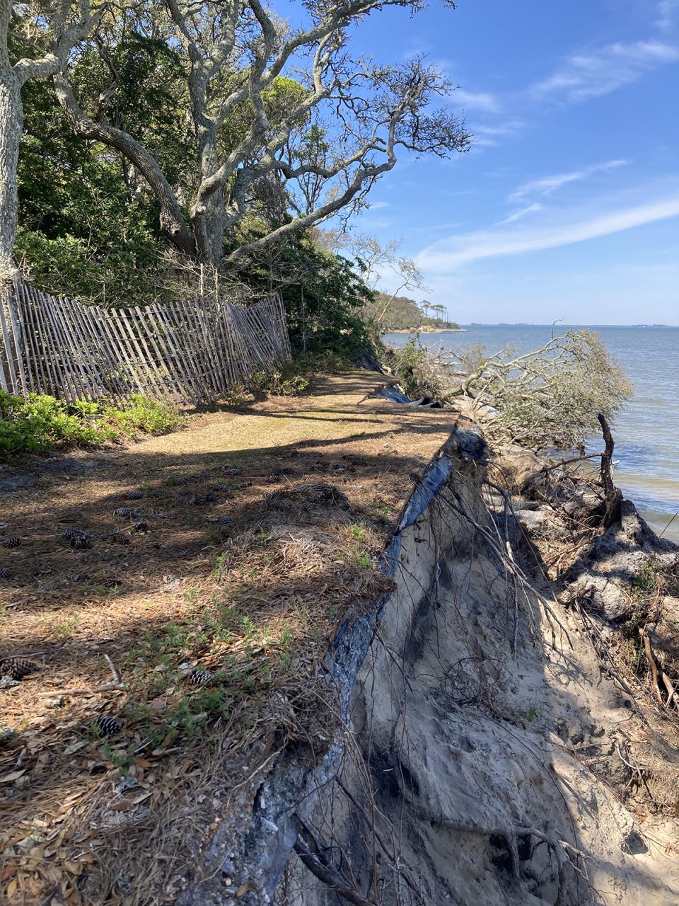
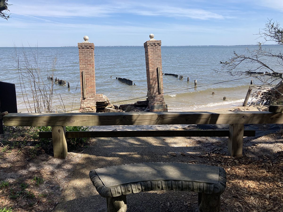
But with accelerated erosion of the Roanoke Sound shoreline along the border of the Elizabethan Gardens, there is a sense of urgency for the foundation. Much of the land that may have revealed secrets has already been lost.
“Since the 1800s, the shoreline here has receded more than a hundred yards, with numerous Indian artifacts found in the water and beach,” the 2022 paper said. “It must be watched carefully for archaeological artifacts and features being destroyed by coastal erosion.”


