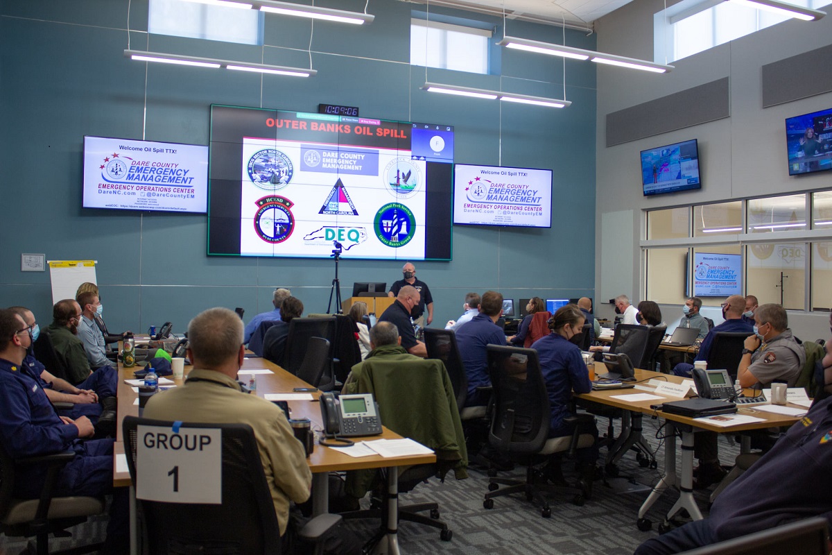
More than 40 representatives from federal, state and local agencies joined either in-person or virtually a regional oil spill preparedness and response training exercise Feb. 2 at the Dare County Emergency Operations Center in Manteo.
The Outer Banks Regional Oil Spill Tabletop Exercise was held to encourage area representatives to discuss plans and procedures for a multi-jurisdictional response to an oil spill with the potential to affect the coastal environment within Dare, Hyde and Currituck counties, according to Dare County officials.
Supporter Spotlight
Media were not invited to cover the event.
Dare County Emergency Management hosted the training facilitated by Crisis Tec, a private contractor that provides crisis training and consulting services.
Representatives from the National Oceanic and Atmospheric Administration, the Coast Guard, National Park Service, North Carolina Emergency Management, Dare County and its six incorporated municipalities, Currituck and Hyde counties and others from regional nonprofit organizations and academic institutions attended.
According to information provided by Dare County officials, facilitators during the presentation used a hypothetical, three-phase scenario involving a large oil tanker traveling along the state’s coast during a developing tropical weather event.
The first phase of the hypothetical situation began with the an engine room fire in the tanker, which forces the crew to abandon the ship about 58 miles off the coast of the northern Outer Banks. During the second phase, the fire significantly damaged the structure of the ship, leading to 5,000 gallons of petroleum products being released into the Atlantic Ocean every hour while the vessel drifted toward the shore. The hypothetical vessel was grounded in the surf zone during the third phase, causing additional damage that increased the release rate to 200,000 gallons of petroleum products every hour.
Supporter Spotlight
Participants reviewed oil spill trajectory projections using NOAA’s oil spill trajectory model. The modeling uses information on wind and currents, the type of product spilled, and the strength of the turbulence expected in the water to predict the trajectory of the spilled oil.
Using the trajectory maps for each phase of the scenario, participants worked in small groups to discuss how existing plans would be used to mobilize a multi-organizational response to a major oil spill, as well as ways to mitigate and recover from its potentially devastating effects, according to officials.
Participants discussed how existing plans would be used to manage the physical impacts as well as potential long-term impacts on ecology, tourism and the local economy, financial responsibilities and insurance claims.
Though the discussions had varying outcomes, all identified the need to take aggressive actions to ensure public health and safety, minimize the impacts on the environment and keep the community fully informed.
“With countless large vessels transiting our coast and many smaller ones coming ashore recently, the exercise was a great opportunity to renew our partnerships and understanding of how oil spill response plans and actions are integrated across all levels of government,” said Dare County Emergency Management Director Drew Pearson.


