Just look around.
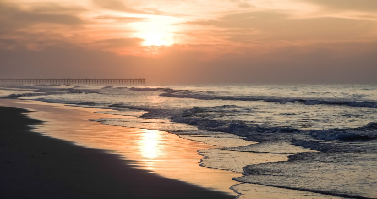
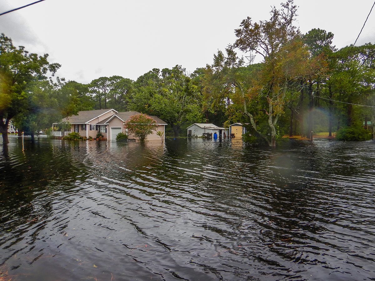
Rising sea level, increased tidal flooding, more frequent, beach-eroding storms – those who live and work on Topsail Island see it.
Sponsor Spotlight
With the help of a new state program, the three towns on the barrier island are tackling where and how to prepare for what’s to come in the face of the changing climate.

“Topsail Island is no stranger to resilience,” said Surf City Mayor Doug Medlin. “We’ve had to go through this many, many times, but maybe we’re going to learn some new things to make us more resilient. Some people don’t believe when you say ‘climate change,’ but climate change is here and if you don’t believe it just look around at everything. We’re going to have to be more resilient to all of this stuff, especially the water that’s rising. We know it’s going to rise. We’ve got a lot of stuff that we’ve got to be prepared for.”
Medlin’s comments set the stage Wednesday night in Surf City Town Hall during the first public meeting about Topsail Island’s island-wide resiliency project.
North Topsail Beach, Surf City and Topsail Beach are among 26 coastal communities — eight counties and 18 municipalities — in the state to receive grants on behalf of the North Carolina Division of Coastal Management’s N.C. Resilient Coastal Communities Program, or NC-RCCP.
Sponsor Spotlight
This is the first year of this program, one that aims to boost resilience efforts in the state’s 20 coastal counties and encourages those who live and work along the coast to participate in finding solutions and prioritizing projects designed to help their communities bounce back from flooding and storms.
NC-RCCP is a product of the state’s 2020 Climate Risk Assessment & Resilience Plan, which was the result of Executive Order 80 signed by Gov. Roy Cooper in October 2018.
The program is funded by the North Carolina General Assembly and the National Fish and Wildlife Foundation.
Mackenzie Todd, a coastal resilience specialist with the Division of Coastal Management, explained Wednesday that the 2020 Resilience Plan directs the state to establish a formal planning process to get projects in coastal communities to shovel-ready status.
The Topsail Island towns were among about 30 coastal communities that applied for the program.
The division has contracted directly with and paired consultants with the municipalities and counties selected earlier this year.
Kleinfelder Inc., a San Diego-based architectural, engineering and scientific consulting firm, is overseeing Topsail Island’s resiliency plan.
Coastal communities that are part of the NC-RCCP are undergoing the same, four-phase process.
One of the initial steps of the process include the establishment of community action teams that consist of representatives, including local government officials, residents and business owners, from within those counties and municipalities.
The Topsail Island Community Action Team, or CAT, includes about 20 members and kicked off its first meeting in mid-October.
Michael Hicks, project manager with Kleinfelder, said the team has held three workshops during which the group developed a vision, established a set of goals, and identified natural infrastructure, critical assets, vulnerable populations and hazards.
The team’s goals include finding ways to minimize damage from flooding and storms, improve reliability of built infrastructure and road access, identify and prioritize specific resiliency projects and investments, and conserve and adapt natural infrastructure.
Natural infrastructure the team has identified include New River Inlet, wetlands, public beaches, marshes, North Topsail Beach’s maritime forest, Surf City’s maritime forest, New River Inlet’s bird nesting islands, Lea and Hutaff islands, and Holly Shelter Game Land.
Critical assets include businesses, powerlines, water and sewer infrastructure, main roads, emergency access roads, churches and religious meeting places, and tourist destinations.
The team’s list of vulnerable populations includes the elderly, those with limited financial resources, and property owners whose property is located within a Coastal Barrier Resources Act, or CBRA, zone and do not qualify for federal flood insurance or any type of federal post-storm aid.
Hicks clicked through a series of a maps displayed on a large screen in a meeting room of Surf City’s town hall that depict projected sea level rise over the next 50 years.
The maps were created primarily with data produced from the National Oceanic and Atmospheric Administration to show sea level rise projections consistent with North Carolina’s Climate Science Report. That report projects sea rise at a rate of about 3 feet.
Suggestions from those who attended the meeting Wednesday included adding properties in inlet hazard areas, fishermen and oystermen to the vulnerability assessment and areas on the mainland where development is being planned under natural infrastructure.
North Topsail Beach Planning Director Deb Hill urged that the towns work together to identify a project that will benefit all three towns.
The second phase of the project is to develop a portfolio of potential solutions, including nature-based solutions.
Todd said the hope is that more coastal communities will be included in the program.


