Reprinted from Island Free Press

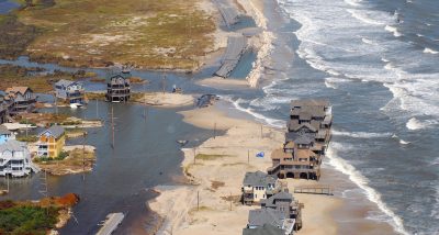
A new flood gauge is being installed at the Emergency Ferry Dock in Rodanthe, per a recent announcement by North Carolina Emergency Management.
Supporter Spotlight
The new gauge will join a network of more than 560 strategically positioned rain and stream gauges across the state that measure rainfall and water levels in order to warn first responders and residents who live near flood-prone areas.
As the backbone of the state’s Flood Inundation Mapping and Alert Network, or FIMAN, the gauges provide real-time data that is used to formulate forecasts, issue alerts and convey the anticipated flood impact to buildings and infrastructure. The data collected by N.C. Emergency Management is provided to federal agencies and is available through NOAA and the National Weather Service.
FIMAN can show precisely which buildings and homes will flood when local rivers or streams reach certain flood levels. During Hurricane Matthew in 2016, this capability was used to direct efficient and appropriate evacuations and resources.
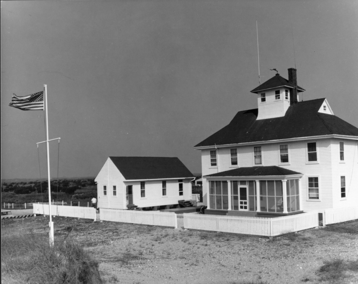
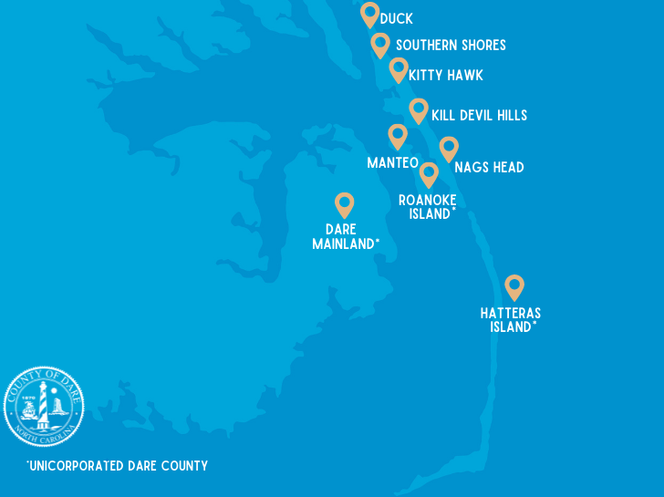
Currently, three flood gauges are stationed along Hatteras and Ocracoke islands, which includes a gauge at the N.C. Center for the Advancement of Teaching, or NCCAT, campus in Ocracoke, a gauge at the U.S. Coast Guard Station in Hatteras and a gauge at the Oregon Inlet Marina.
The new gauge in Rodanthe is part of 13 more devices that will join this state network, and help alert local communities to dangerous flooding.
Supporter Spotlight
“Time and again over the last several years, we’ve used data from these flood gauges to warn residents and communities about dangerous flood conditions,” said State Emergency Management Director Mike Sprayberry.
Much of the flood data is available in real time through the ReadyNC mobile app developed by N.C. Emergency Management. App users can click on Flood Gauges to check the current status of sounds, creeks, and rivers nearby to see if the water level is at normal levels or minor, moderate or major flood stage.
“Adding new gauges in these areas will help communities be more aware and prepared for flooding, and will allow for better warning when floods are coming,” said State Emergency Management Director Mike Sprayberry. “FIMAN is a powerful tool that helps us very accurately define what areas will be affected by flood waters, so emergency managers and local officials can take the appropriate actions to keep people safe.”
This story is provided courtesy of the Island Free Press, a digital newspaper covering Hatteras and Ocracoke islands. Coastal Review Online is partnering with the Free Press to provide readers with more environmental and lifestyle stories of interest along our coast.


