Published jointly with Island Free Press
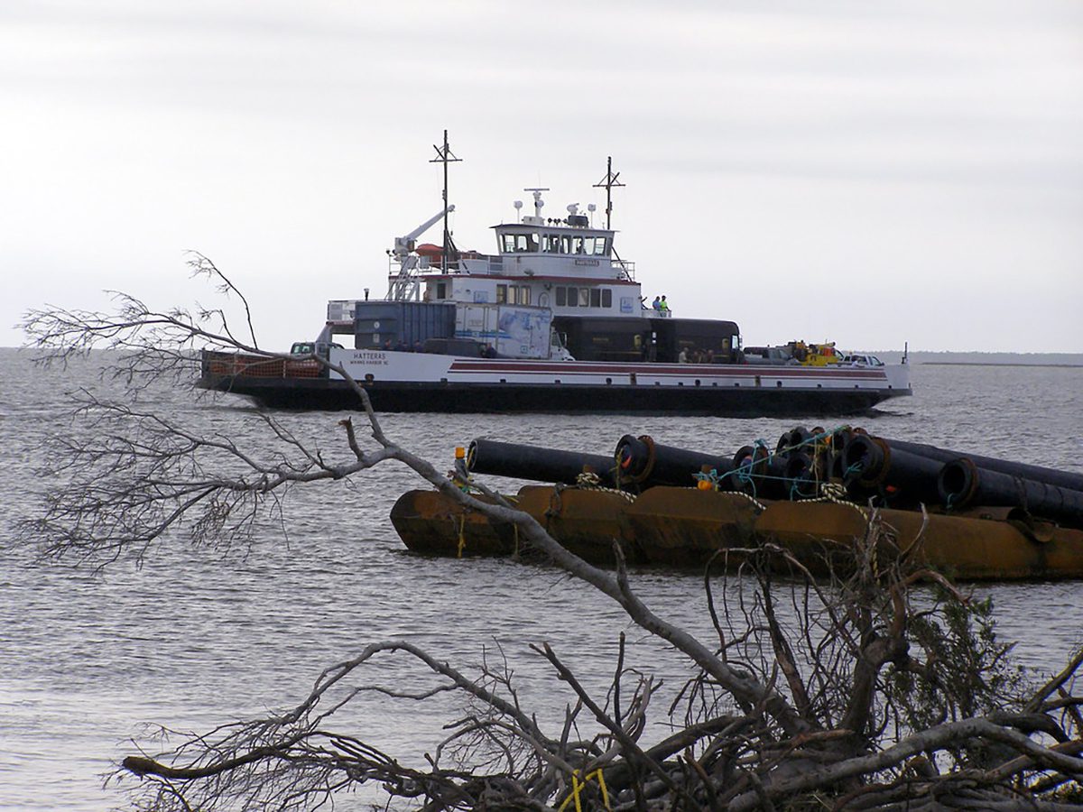
MANTEO — If there is a hurricane on the Outer Banks that renders Hatteras Island’s only highway impassable, the emergency channel between the island at Rodanthe to the Dare County mainland at Stumpy Point currently would not be accessible for ferries to provide supplies or evacuations.
Supporter Spotlight
“This needs to be very clear to our county commissioners,” said Ernie Foster, a Dare County Waterways Commission member, during the panel’s meeting Monday evening. “Emergency operations right now do not exist and (it’s) hurricane season.”
Foster, a Hatteras charter boat captain, made a motion to inform the Dare County Board of Commissioners that the emergency channel is not an option until a shoaled area in the Rodanthe Harbor basin is cleared. The commission approved the motion.
“There is no planned project right now with the Corps for Rodanthe,” said Catherine Peele, interim assistant director of marine asset management planning and development manager with the North Carolina Ferry Division, who spoke remotely to the commission.
The Army Corps of Engineers is responsible for maintenance of federal channels in the county’s inlets and waterways.
The Ferry Division is concerned that the shallow, shoaled area in the Rodanthe basin makes it too dangerous for ferry travel, creating risk of expensive damage to the vessels and danger to the operators and passengers. Although the remainder of the federal channel in the emergency route is navigable, that bad spot creates a controlling depth that renders the route inaccessible.
Supporter Spotlight
In a later interview, Peele said the Ferry Division and the county are working together “to see how we can overcome the challenge” of the Corps not being able to dredge in Rodanthe.
Meanwhile, she added, the division continues to do test runs with ferries at least twice a year in the state-owned Stumpy Point approach channel and basin and, so far, have been able to get in every year.
“So, we have been monitoring conditions,” she said. “We’re OK. We did a contract project in the basin a few years ago.”
Still, Peele added, the state is looking proactively at all its options to see if a project needs to be contracted, or if the division needs to schedule to do the project itself later this year. The division is also talking with the Corps and the county about the amount of available capacity for dredged material disposal in Stumpy Point.
A recent survey found that a relatively small area in the Rodanthe basin has only about 5 feet of water, Todd Horton, chief of the Corps’ waterways management section, speaking remotely, told the commissioners. Ferries require at least 5.5 feet of water.
A similar problem developed in 2018, when removal of shoaling was stymied because there was not adequate space available to dispose of the dredged material in Rodanthe. Dare County, which is responsible for maintaining dredged material disposal sites in the county, subsequently made repairs that addressed the capacity issue.
Fortunately, there has been no need in recent years for the backup evacuation route, but the channel is doing no one any good if some spots are too shallow for ferries to use when it is needed, said commission chairman Steve “Creature” Coulter.
“It’s a federal channel going into Rodanthe that we use for emergency operations,” he said, noting that the county does not have the authority to maintain it.
As another example of overlapping jurisdictional issues on the Outer Banks, clear passage through the emergency channel depends on the federal, state and county governments doing their respective parts, whether dredging the channel, building and repairing disposal areas, providing funds or doing channel surveys.
The state is responsible for the basin and an estimated 1,200-foot-long approach channel in Stumpy Point Harbor, and the federal government is responsible for the rest of the channel in Stumpy Point and all of the channel and the basin on the Rodanthe side. The county provides disposal sites for the dredged material, and a share of nonfederal funds to the Corps for projects.
An emergency transportation route was created in 2009 by the North Carolina Department of Transportation, which oversees the Ferry Division, to bypass washed-out N.C. Highway 12 in Mirlo Beach at Rodanthe’s north end. Ferry terminals were created in Rodanthe in 2001 and in Stumpy Point in 2002, and both were upgraded in 2013.
Emergency ferry service was implemented after Hurricane Irene in 2011 and Hurricane Sandy in 2012, as well as in 2013 when the aged Bonner Bridge was closed for safety reasons. Before the service was available, islanders were cut off from the world for weeks in November 2000 after a storm-tossed barge struck and severely damaged the bridge. And after Hurricane Isabel in 2003 destroyed part of N.C. 12 south of Frisco, ferries brought supplies to the island from Stumpy Point to Hatteras village.
Horton said that the Corps has $316,000 in nonfederal funds transferred by the county remaining from 2019, but he did not elaborate on when or if a project could be done in Rodanthe.
Joen Petersen, the Corps’ chief of floating plants, said in a later interview that the recent survey showed that 602 cubic yards would have to be removed from the shoaled area just outside the channel basin in Rodanthe to bring the channel to project depth of 6 feet.
Petersen said that the remainder of the channel on the Rodanthe side is sufficiently deep. Although he confirmed that there is no scheduled work at this time at the shoaled area in Rodanthe, he said that the Corps is in the process of planning a dredge project in the federal channel in Stumpy Point.
Information was not immediately available from the Corps, the state or the county to clarify when the Rodanthe channel was last dredged. But in general, the emergency channel has been dredged on an “as-needed” basis, Barton Grover, the Waterways Commission administrator, said in a later interview. And in last year’s survey, it showed a 6-foot depth, which the Corps said did not require attention.
Considering that the most recent survey showed only 5 feet in Rodanthe — a foot shallower than the federally authorized depth of 6 feet — the Corps may change its assessment about doing a project, Grover said, adding that discussions are still in early stages.
While the agencies and the county continue to work toward a solution, the reality for the time being is that, with warnings of a potentially bad hurricane season swirling in the background, the just-in-case fallback for a transportation option on and off Hatteras Island is not going to be available.
The ferry service would still do its best to provide a workaround, Peele said.
“If there was an emergency,” she said, “we would do a test run from Hatteras to Stumpy Point to see if that’s a viable option for an emergency route.”


