Put out the flags. A hurricane is coming.
Long before the days of around-the-clock hurricane news coverage, there were flags.
Supporter Spotlight
A little more than 150 years ago, the U.S. Army Signal Corps, the 1870s equivalent of the National Weather Service, issued the first U.S. hurricane warning by setting out signal flags from Cape May, New Jersey, to New London, Connecticut.
We’ve come a long way in our hurricane forecasting abilities since those warning flags were hoisted Aug. 21, 1873, but there’s work to be done.
University of North Carolina Chapel Hill researchers have been developing a forecast model that will help predict in real time whether worst-case scenario conditions might occur in communities that are within multiple flood risk zones.
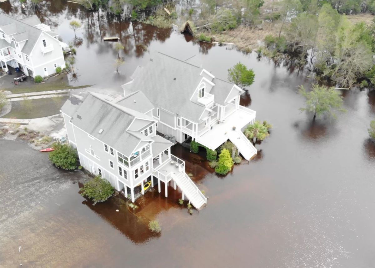
It’s known as compound flooding, when at least two flood hazards, including storm surge, high tides, rainfall and high river flow, occur in a single weather event such as a hurricane.
Dr. Shintaro Bunya, a research scientist with the university’s Institute of Marine Sciences in Morehead City, and Dr. Rick Luettich, director of the institute and principal investigator of the U.S. Department of Homeland Security-funded Coastal Resilience Center, are creating an efficient prediction model that will include rivers, tributaries, canals, creeks, streams and other water features, into something called the ADCIRC.
Supporter Spotlight
The ADCIRC Prediction System is a network of computer programs that model concurrent information on storm surge impacts in coastal communities.
Bunya in a telephone interview earlier this month explained that the flooding models are currently limited in predicting compound flooding events because they do not include smaller rivers and tributaries.
Those areas are “very important because people are living on the smaller tributaries and they are interested in the local flooding,” he said.
As a hurricane approaches, state and local emergency management officials rely on forecasts to determine if and when they should issue evacuations and deploy resources to communities.
“We have to be able to compute a model that really details very efficiently because what we are going to do is predictions, or forecasts, so we have to provide valuable information for decision makers. Efficiencies really matter for timely decision making,” Bunya said. “Even if the information is valuable, if it’s too late, it’s too late so the time really matters in the forecast.”
Dr. Brian Blanton, oceanographer and director of the university’s Renaissance Computing Institute’s earth data sciences, explained that there are a variety of approaches that look at how to deal with compound flooding.
So, it’s not a novel concept, he said.
But Bunya and Luettich’s idea to bring two prediction models together — models for river flow and models for storm surge — and get them to communicate as fast as possible and implement them into the ADCIRC is, Blanton said.
“That was the path that we took in terms of extending the capabilities of our very useful, very well documented coastal model for storm surge and enabling it to treat rivers in a more natural way,” he said.
“That’s the advantage there because now what we can do is we can, in many situations, with one model, simulate a lot of the mechanisms that are going on in this so-called compound flooding problem,” Blanton continued. “This is actually really important for things like evacuation decisions because if you had a really conservative estimate of storm surge that covered the entire southern part of the North Carolina coast would you really want to evacuate everything from Hatteras down to the South Carolina border? That’s notoriously expensive.”
There are places along the North Carolina coast where rivers come together with very complex tidal inlets.
While these intricate, small rivers that flow into these areas do not, overall, contribute much to the total amount of water along the coast, locally they can have a huge impact, Blanton said.
Take, for example, the New River. Some “very complicated” upstream rivers flow into the New River, one that has a rather narrow outlet to the ocean, Blanton said.
Looking at a more traditional model, one that is missing information, is not a sufficient way to predict compound flooding in that area.
“So, a way to address that was to improve the model itself and to handle the situation where rivers have a pretty strong influence on what’s going on,” Blanton said.
Bunya said they will begin testing the model this year during the upcoming hurricane season.


