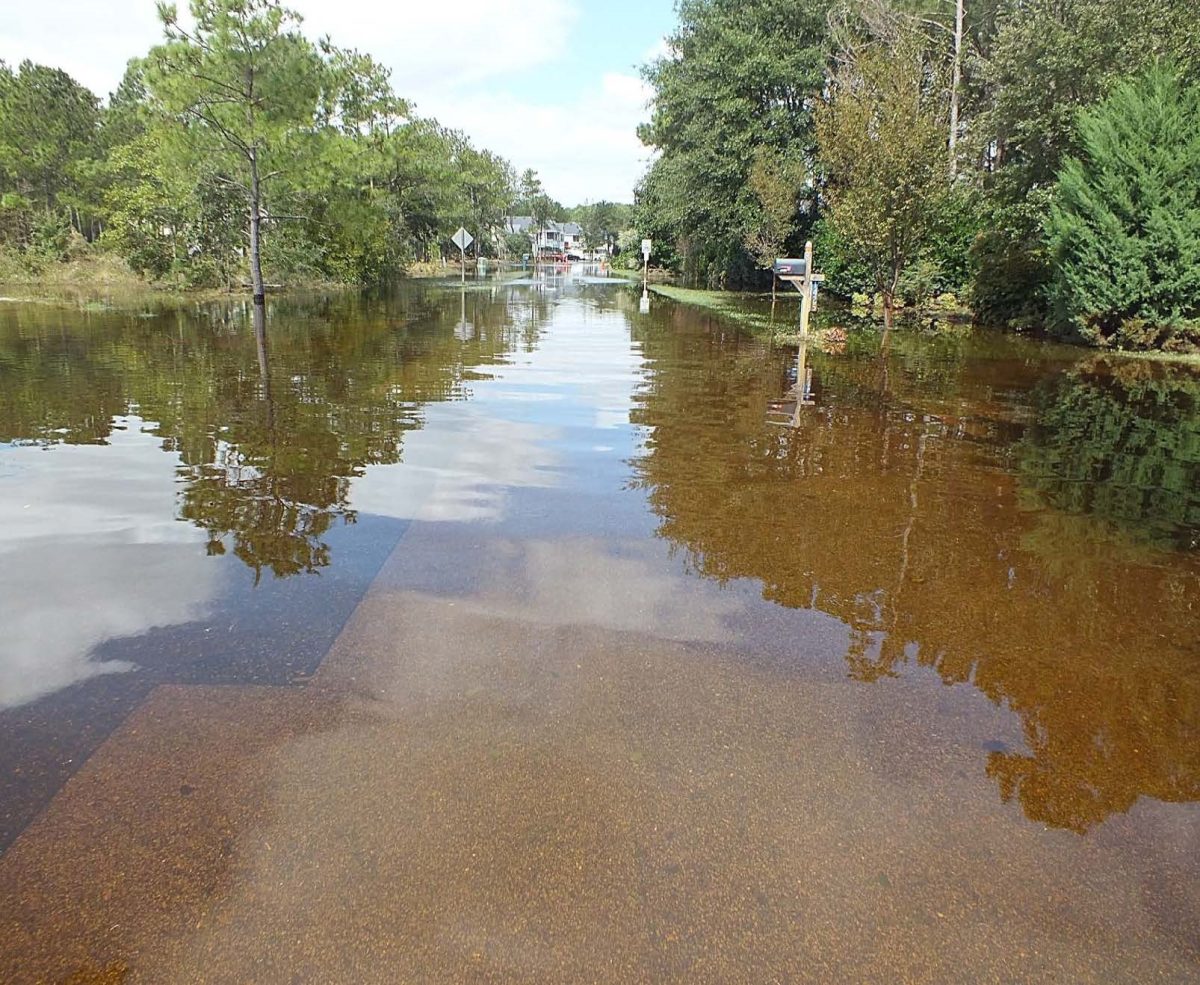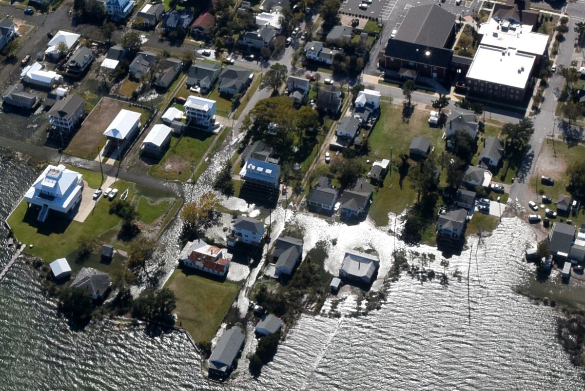
A federal report released last week forecast sea levels in the contiguous United States to rise by about a foot in the next 30 years. These findings support predictions in previous North Carolina-based reports.
The report, Global and Regional Sea Level Rise Scenarios for the United States, led by the National Oceanic and Atmospheric Administration, does not contain new information — it’s a synthesis of the latest data available – but sea level rise researcher Rick Luettich says what makes this report stand out is the certainty of the predictions over the next few decades.
Supporter Spotlight
Luettich, who is director of the University of North Carolina Chapel Hill’s Institute of Marine Sciences in Morehead City, said that the report’s data didn’t surprise him. “I think the information that’s in this report is very consistent with what was in the North Carolina Climate Science report that came out about two years ago.”
In addition to being an author of the sea level rise section in the 2020 state Climate Science Report, Luettich is director of the Coastal Resilience Center of Excellence, a UNC-led program funded through the Department of Homeland Security Science and Technology Directorate.
He said what makes the latest report different is the clarity of the data, that is what’s compelling. It’s time to stop pretending the outcome will be different than what the data suggests.
“We should recognize that the data is very definitive,” Luettich said.
He explained that over a fairly small period – three decades — there will be significant changes and consequences from sea level rise. The converging information is giving researchers “a pretty tight understanding of exactly what that’s likely to be. The uncertainty levels are starting to diminish, particularly over that 30-year timeframe.”
Supporter Spotlight
Researchers have long been warning that change was coming. “This report, I think, says climate change is already here,” he said.
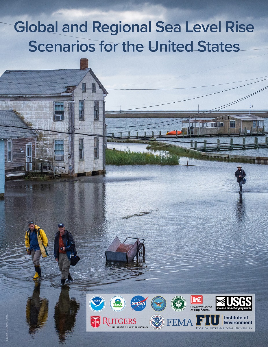
The Sea Level Rise and Coastal Flood Hazard and Tools Interagency Task Force, which produced the report, based its findings on NOAA’s tide gauge data and satellite observations as well as the sixth Assessment Report of the Intergovernmental Panel on Climate Change, or IPCC, released in August 2021.
The report is built on a longer record of data, satellite data, water level gauge data and more robust and accurate computer models than previous reports, Luettich said, “all of which are telling us a story that is becoming tighter and tighter, better and better defined, and those uncertainties are starting to shrink, particularly over this 20- to 30-year timeframe. The certainty with which we are at least looking forward over this time period is simply really coming into focus.”
In addition to NOAA, the report incorporates data from NASA, the Environmental Protection Agency, U.S. Geological Survey, Federal Emergency Management Agency, Army Corps of Engineers and the Department of Defense Strategic Environmental Research and Development Programs.
“What we’re reporting on today is historic,” NOAA Administrator Richard Spinrad said during a press conference Feb. 15, the day the report was released.
He said one of the report’s most profound statements was that the U.S. would see as much sea level rise in 30 years as seen during the entire previous century.
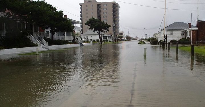
“The report predicts sea levels along the U.S. coast will rise 10 to 12 inches on average by the year 2050 with amounts varying regionally, primarily due to land shifts,” Spinrad said, and this will happen no matter what is done about greenhouse gas emissions.
If emissions continue at the current pace, it’s likely there will be 2 feet of sea level rise by 2100, “and that estimate is on the conservative side,” he said.
“This report is a wakeup call for the United States, but it’s a wakeup call that comes with a silver lining. It provides us with information needed to act now to best position ourselves for the future. It’s going to take all of us — government, businesses, academia and community citizens to make a difference in the future,” Spinrad said.
Assembling the report

Luettich explained that the process of compiling the report began with the IPCC, which assembled aspects of climate change on a global level and released a sizeable update to its technical report in August. This latest report by the interagency task force builds on that global report and is designed to take the best available information, specifically as it relates to water level and coastal flooding, and package it for the United States. The report is broken down by region to make the information more relevant for the public.
The interagency report highlights other key takeaways. One is that sea level rise will create a “profound shift in coastal flooding” in the next three decades, causing tide and storm surge heights to increase and reach farther inland.
Higher sea levels will amplify the impacts of storm surge, high tides, coastal erosion and wetland loss, even without any changes in storm frequency and intensity, according to NOAA.
Further, about 2 feet of sea level rise along the U.S. coast expected between 2020 and 2100 is because of emissions to date. “Failing to curb future emissions could cause an additional 1.5 – 5 feet (0.5 – 1.5 meters) of rise for a total of 3.5 – 7 feet (1.1 – 2.1 meters) by the end of this century,” according to the report.
Also, ongoing and expanded monitoring will be critical as sea levels continue to rise, according to the report.
“The task force developed their near-term sea level rise projections by drawing on an improved understanding of how the processes that contribute to rising seas – such as melting glaciers and ice sheets as well as complex interactions between ocean, land, and ice – will affect ocean height. “That understanding has really advanced since the 2017 report, which gave us more certainty over how much sea level rise we’ll get in the coming decades,” Ben Hamlington, a research scientist at NASA’s Jet Propulsion Laboratory in Southern California and one of the update’s lead authors, said in a statement. His team developed an online mapping tool to visualize the report’s sea level rise projections on a localized level across the country.
Luettich said that for North Carolina, while it may be slightly less or slightly more, a foot of sea level rise by 2050 is probably the best estimation for the state’s coast. But that’s just the sea level baseline.
“This foot becomes much more significant if a hurricane comes through. It might not be the foot that gets (a structure), but it’s the foot plus the hurricane,” he said. The next time the coast gets a storm event, instead of water rising to the first street closest to the sound or ocean, it may now reach the second street. Or instead of it getting partway up the dunes, the waves may reach farther up, maybe overtop the dunes, “certainly causing greater dune erosion.”
That foot of sea level rise is going to make nuisance flooding, often called sunny day flooding, occur more often and will likely cause moderate damage, particularly to piers and storefronts, businesses and low-lying homes closest to the water.
“It’s going to cost more and more to live in these coastal areas,” Luettich said.
There will be a slight difference in relative sea level rise between the northern and southern extremes of the North Carolina coast. The northeast will see higher levels because of subsidence, or the gradual sinking of land, which is about a tenth of an inch per year more than it is in the Wilmington area.
“But in general, it will look a lot alike. It might be 10 inches in Wilmington, and 12 inches in a Duck or Oriental,” he said. “You can see the contribution of the subsidence relative to the contribution of global sea level rise is getting smaller because global sea level rise and the amount of water going into the oceans is accelerating over time.”
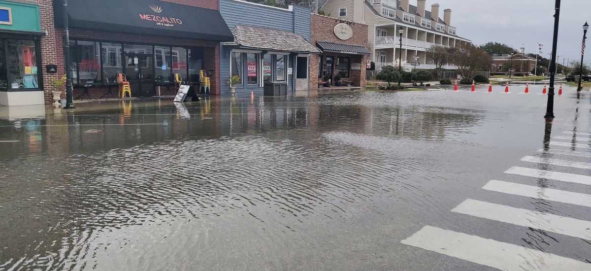
The North Carolina Department of Environmental Quality’s Division of Coastal Management is already taking into account the predicted 10- to 12-inch rise and encouraging communities to consider a 1-foot scenario as a minimum when planning, Tancred Miller, policy and planning section chief, told Coastal Review. “However, communities can choose to look at scenarios above 1 foot, and this report can help inform their decision making.”
The division is heading up the new Resilient Coastal Communities Program, which provided funding for about 25 local governments to create a resiliency plan tailored to the town’s needs and based on resident input. Beaufort, one of the selected communities, is in the process of developing its plan and used information from the new report.
“The Town of Beaufort is a frontline coastal community directly affected by rising sea levels, threatening our public and private infrastructure (including roads and aging water/sewer infrastructure), natural systems, and the very fabric of our community, Beaufort Town Planner Sam Burdick told Coastal Review in an email.
“Having these projections from the new NOAA report has helped us validate our decision to use a 3 feet by 2080 intermediate sea level rise scenario for our Resilience Strategy, a plan we are in the process of writing to enhance coastal resilience throughout the Town and its Extraterritorial Jurisdiction,” she said.
When Luettich moved to Carteret County 35 years ago, flooding was less frequent and usually only when a big hurricane came through, but today, it’s happening multiple times a month. He pointed to Front Street in Beaufort and Shepard Street in Morehead City, which have seen increased rates of flooding in recent years.
Luettich said the information about the next few decades in the new report needs to be taken seriously and wise decisions need to be made.
“If nothing else, the report is a call to action,” he said.


