Toiling through nearly two years of remote meetings, a 14-member partnership last week completed a comprehensive plan to save miles of marshlands in the northeastern corner of North Carolina.
The Currituck Sound Coalition Marsh Conservation Plan released Tuesday is the culmination of a goal seeded more than a decade ago, when Audubon North Carolina started managing 2,600 acres it acquired on Pine Island, near the village of Corolla in an undeveloped area of the northern Outer Banks.
Supporter Spotlight
“I think the fact that so many partners have come together to collaborate on this work, despite being in the middle of a global pandemic, despite the magnitude of some of the challenges we’re up against — like sea level rise — I think that really speaks volumes about how important this work is,” Cat Bowler, coastal resilience program manager with Audubon North Carolina, said in a recent interview.
In an ironic way, it is fortuitous timing for the plan’s release, since what it lays out is the kind of strategy that climate scientists have been urgently advising for coastal regions to mitigate the impacts of climate change. But it took multiple climate disasters for governments in the U.S. and worldwide to finally adopt programs and policies — and open their wallets — to address the increasing risks.
Last month’s global climate conference in Scotland emphasized that the climate threat had reached the emergency stage, and it must be addressed from the community level on up.
That is just where the coalition plan is poised.
“Our shared vision is to increase community and ecosystem resilience to climate change and other threats through enhanced collaboration and partnership on nature-based initiatives,” a statement in the plan explained. “Among our first priorities as a coalition was the development of this conservation plan, which serves as a starting point in an ongoing process of collaborative conservation planning and action.”
Supporter Spotlight
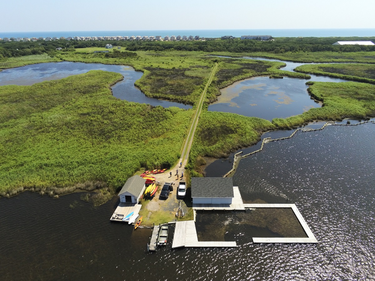
In 1979, Winston-Salem developer Earl Slick, who built Corolla’s first subdivision, donated 2,600 acres of untouched marsh, upland maritime forest and sandy beaches to Audubon North Carolina. By 2010, the nonprofit conservation group had established the Donal C. O’Brien Jr. Audubon Sanctuary and Center at Pine Island, which includes a 1913 hunt club.
Five years later, director Robbie Fearn established a steering committee to seek ways to protect the center, the sound and the surrounding marshlands. Since then, the center has hosted researchers and educators and has begun implementing a two-part restoration and conservation plan.
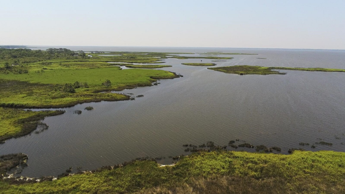
Located on the north tip of the Albemarle-Pamlico sound system, its watershed boundaries stretching to Virginia Beach, the 153-square-mile Currituck Sound estuary stretches along the northern Outer Banks in Dare and Currituck counties.
With the last inlet having closed about 200 years ago, the barrier islands separate the sound from the Atlantic Ocean. As a result, the water is between salty and fresh, but only slightly brackish, which scientifically makes it an oligohaline water body.
Blocked from the powerful ocean — the nearest connection is 45 miles away at Oregon Inlet — the sound’s shallow marshlands are influenced by wind tides but lack natural flushing action. Once an attraction for astonishing numbers of waterfowl and migrating birds, as well as fish and other wildlife, Currituck Sound was known for decades in the 20th century as a world-class destination for waterfowl hunting.
Calling it “a globally rare ecosystem,” Audubon says that the sound is one of the world’s most important places for birds. Its wetlands also filter water and serve as a valuable buffer from flooding.
But over time the sound, with depths ranging between 5 feet and about 13 feet, has suffered degradation of its water quality and has lost considerable amounts of submerged aquatic vegetation.
“Today, the marshes of Currituck Sound are increasingly at risk due to threats such as habitat loss and fragmentation, sea level rise, and proliferation of invasive aquatic plants — all of which may be exacerbated by climate change,” the new conservation plan said. “Loss of marsh and submerged aquatic vegetation has led to population declines in birds and fish in the sound.”
Although the coalition found that marshes are being lost at a rate of about 70 acres per year, Bowler said it could be even more, since that estimate is outdated.
“No, that is not an ongoing survey,” she said, adding that the number came from the 2011 Army Corps of Engineers Currituck Sound Ecosystem Restoration Feasibility Study. “So that number is about a decade old at this point. And so it very well may be a conservative figure. We need further research and monitoring to understand the current rate of marsh loss.”
Prior to release of the Corps’ report, initial research in 2001 had suggested that poor water quality was driving degradation of the ecosystem, as reported during a September 2011 scoping meeting on the feasibility study. The agency also listed 25 additional Currituck Sound-related studies, reports, programs or efforts that had been conducted earlier.
In addition, the 2001 “reconnaissance” study found other problems, including high salinity, reduced submerged aquatic vegetation and a decrease in the largemouth bass fishery. Development of a hydrodynamic flow model and analysis of alternative plans were recommended, and in 2004 the Corps and the state agreed to share costs to do the restoration feasibility study.
The Corps’ 204-page 2011 report was created with collaboration from participants that included 26 different public and nonprofit entities as well as “local environmentalists and sportsmen.”
Stuffed with information on the past, current and future state of the sound waters and marshes, illustrated with scientific charts and filled with reams of data culled from dozens of research projects, the findings were a clear warning of what the Currituck Sound is facing today.
Water in the 98,000-acre sound, which is 36 miles long and 3 to 8 miles wide, is murkier, and erosion is increasing. Sea levels are rising, and saltwater intrusion is a growing threat. Healthy grasses are depleted, and marsh is at risk of being subsumed or eroded away.
Despite the enormity — and foresight — of the effort, the draft ecosystem restoration plan was never implemented.
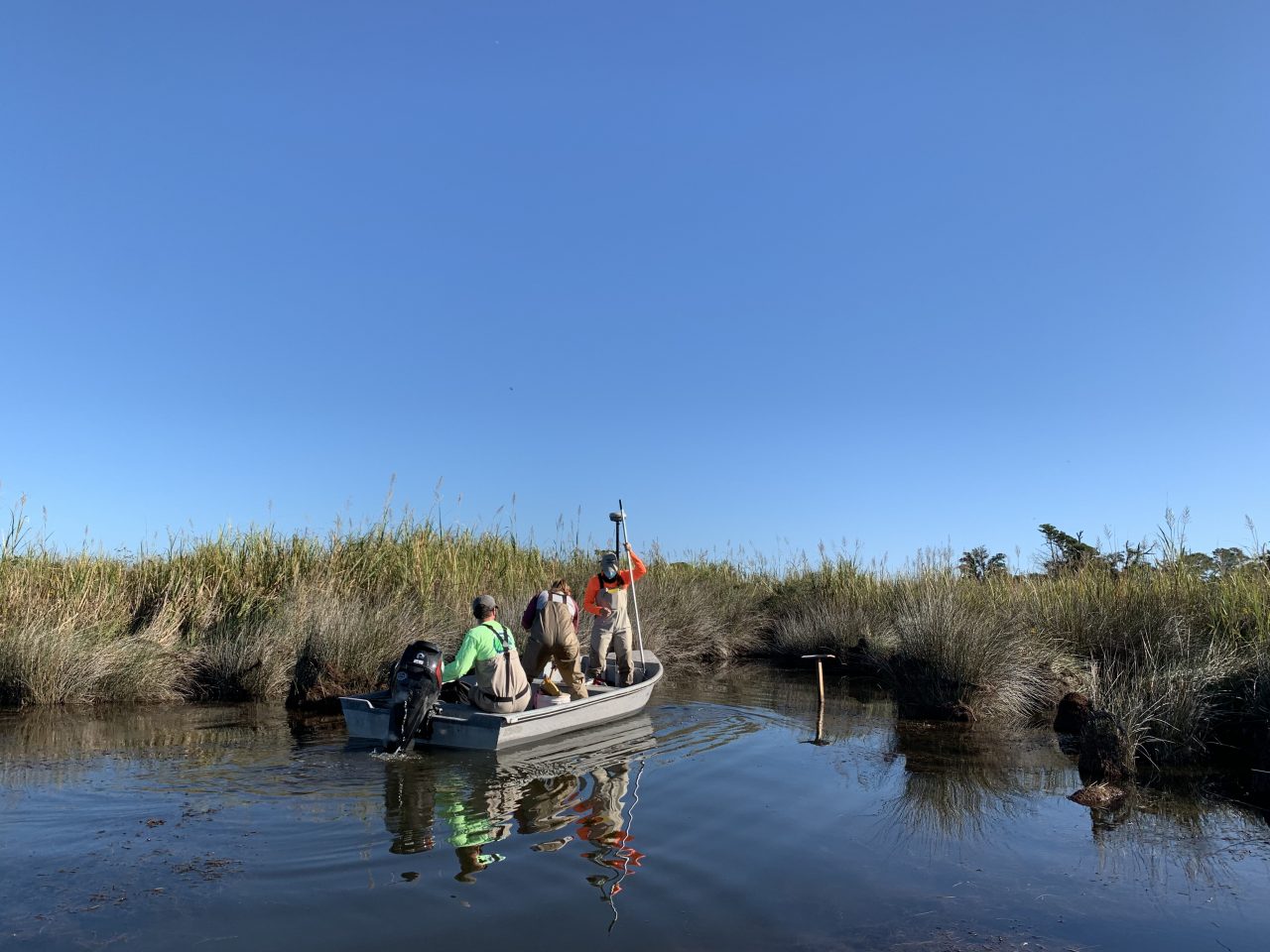
Then in 2016, the Corps’ built a $1.3 million research project in Currituck Sound to collect data on hydrodynamics, contaminants, nutrients, sediments, salinity, algae content, pH levels, attenuation, wind and water temperature. With numerous instruments attached to five monitoring platforms, the project was a first-of-its-kind effort to measure the range of biological and physical processes in the sound. The goal was to collect decades of data to provide scientists information on trends and impacts from climate change.
But in January 2018, the platforms, along with many of the instruments, were destroyed by a freak ice storm.
“We did collect about 2 years of data prior to that,” Patrick Dickhudt, an oceanographer at the Army Corps’ field research facility in Duck, said in a recent email, responding to a query about the project. “Those data have all been archived and are publicly available (along with all of the other data collected at the Field Research Facility).”
Dickhudt added that with the facility primarily focused on ocean processes, the Corps does not have plans to replace the monitoring platforms.
The National Oceanic and Atmospheric Administration has estimated that sea levels in the region are expected to rise 1.5 feet by 2050, but there is not much available data about the rate of shoreline erosion — historic, current or projected — along the Currituck Sound. Also, limited visibility in the water has made it difficult to do accurate surveys from the air to determine the amount of submerged aquatic vegetation loss.
According to the marsh plan, “the other effects of climate change are expected to increase stress on aquatic ecosystems and diminish their ability to support and maintain a balanced, adaptive, and diverse community of species” in the sound.
“Without effective conservation action, the future of this important natural resource is in jeopardy,” according to the document.
Many of the 14 partners in the Currituck Sound Coalition have been working independently on various restoration or conservation projects in the sound region at different times, and some are ongoing.
Members represent a range of interests from nonprofits, academics, local communities and government agencies, including the Albemarle-Pamlico National Estuary Partnership, Audubon North Carolina, Chowan University, the Coastal Studies Institute, Currituck County, Ducks Unlimited, National Wildlife Refuge Association, North Carolina Coastal Federation, North Carolina Coastal Reserve and National Estuarine Research Reserve, North Carolina Sea Grant, North Carolina Wildlife Resources Commission, The Nature Conservancy, town of Duck and U.S Fish and Wildlife Service.
“With a range of expertise and experience, the coalition is uniquely positioned to tackle the challenges facing marshes in Currituck Sound through ecosystem restoration and conservation,” the plan says.
Bowler said that after collecting feedback from coalition on the new marsh plan, the group will focus on addressing the myriad issues with action, with climate threats top of mind. Now that most people are taking the risk seriously, Bowler is optimistic that the coalition will be able to tap the increasing availability of funds to tackle urgent issues.
“We are losing marshes at a more rapid rate than we were in the past and that is due to threats like sea level rise and erosion,” she said.
As detailed in the plan, Currituck marshes are experiencing lateral erosion at the boundary with the sound, meaning that they’re losing height, not just width. They are also subject to “break-up,” caused by inadequate accretion with rising sea level. Potential remedies include a combination of living shorelines, submerged sills, or underwater breakwaters, and thin-layer sediment placement, which would build up the marsh. Research must be done to determine the appropriate measure at the appropriate place.
“As sea levels rise, those marshes only have a couple of options for how they can persist,” Bowler said, elaborating on the challenges. “One of those options is to stay where they are, and to accrete sediments to grow in place and keep pace with sea level rise. Another option is for those marshes to actually migrate upslope in a process that we call marsh migration.”
Thin-layer sediment placement has not been widely applied in North Carolina, she said, and “is one of the more innovative techniques” that Audubon plans to pilot in the Currituck Sound region. Marsh migration, she added, could be a good option in undeveloped areas where there is space for the marsh to move into.
Despite the impact of development on marshes, and vice-versa, Bowler said there’s reason to believe that both can coexist, to the benefit of both.
“We know that marshes provide reduction of storm surge,” she said. “We know that they help to attenuate floodwaters during heavy precipitation events. They sequester carbon. They provide wildlife habitat for the birds and other wildlife that we all appreciate seeing when we visit the marsh.
“So really, we look for places where we can create those multiple benefits to both the natural system but also to human communities.”


