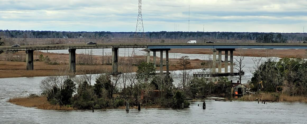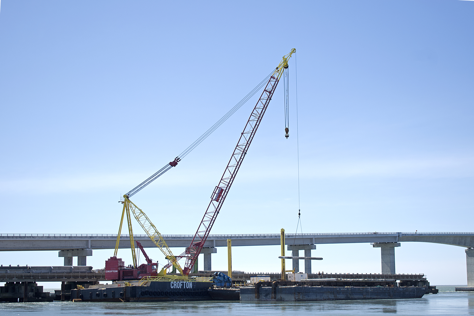
DARE COUNTY — In 2016, as construction on the Marc Basnight Bridge that would span Oregon Inlet and replace the Bonner Bridge was beginning, the North Carolina Department of Transportation and Division of Marine Fisheries came up with solution for the Bonner Bridge: The bridge would be dismantled and the debris would be used to maintain and expand four artificial reefs off the Outer Banks.
The plan, as reported in 2016, was for Artificial Reef-160, which is in state waters south of the inlet, to receive 55% of the material and for each of the remaining three reefs, AR-130, 140 and 145 – all northeast of the inlet – to each receive 15% of the debris.
Supporter Spotlight
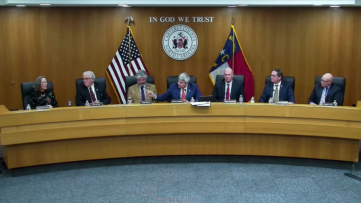
Four years later, weather- and navigation-related challenges have officials here doubting whether any of the four reefs will receive the material. If alternative plans under consideration are approved, much of the Bonner Bridge debris will go to enhance reefs in Carteret County. The Dare County Board of Commissioners earlier this month unanimously adopted a resolution opposing NCDOT’s plan to place the debris off Carteret County.
For Dare County Commissioner Danny Couch, who represents Hatteras Island, the alternatives are contrary to public demand.

“We sell more fishing licenses, (than any county) other than Wake County. And one of the reasons why Wake has more, they’ve got the office there so every time somebody calls to Raleigh for a fishing license and somebody’s coming down to vacation anywhere, they go to Raleigh so that counts on their numbers,” he told Coastal Review Online last week.
And, Couch added, the reefs have not been maintained.
“You know, they put those airplane fuselages and railroad cars in there and they never touched them again,” he said.
Supporter Spotlight
The original plan was based on the understanding that Oregon Inlet would be dredged to the federally authorized 14-foot depth – the depth needed for the tugboats that would move the barges with the Bonner Bridge material to the Outer Banks sites.
Dredging of Oregon Inlet, though, has been sporadic and the authorized depth has not been maintained.
“It now sits around 10 feet and fluctuates based on the day. I think the lowest right now is about 9, but on average it’s 10 feet,” said Brent Johnson, project manager for the Dare County Waterways Commission and Oregon Inlet Task Force.
Because the tugs cannot navigate the area, they must travel either south or north using the Intracoastal Waterway, adding considerable time and expense to the project.
The closest exit to the ocean from Oregon Inlet that the tugs could use is Chesapeake Bay, but NCDOT Division 1 Resident Engineer Pablo Hernandez said that route is unsafe. The problem, he explained, is that the route carries the risk that transportation infrastructure could be damaged.

“We explored the alternative of taking the material north on the Intracoastal Waterway and out the Chesapeake Bay to then travel south,” he said. “But the towing operators have had some concerns with trying to maneuver the barges the through the Intracoastal Waterway to the north. There’s a lot of bridges and there’s the lock systems that they have to go through.”
The barges are piled high with material, and if a barge were to list, lock systems or bridges could be damaged.
“You definitely don’t want to hit any kind of infrastructure, especially a bridge that could be carrying live traffic, whether it be railroad traffic or vehicle traffic,” Hernandez said.
If the barges can’t go north, the alternative is to go south, down Pamlico Sound to the Intracoastal Waterway and exit at Morehead City. It is a longer trip, but a much more direct voyage.
Whether the material goes north or south, the trip adds substantially to the time and expense of placing the material. And, as the journey to the reefs becomes longer, weather plays an increasingly significant role. The weather has already delayed the process. Hernandez pointed to a windy spring that kept tugs from putting to sea.
“There were days the sea conditions were just not conducive to get the barges offshore, either bringing them down from Norfolk or up from Morehead City,” he said.
As the tugs are unable to offload material at the reefs, the construction debris at the bridge is backing up.
NCDOT’s proposed alternative is to place the material at two artificial reef sites in Carteret County waters and two sites south of Ocracoke, across from the north end of Portsmouth Island.
“There are existing reef sites. They are AR-250 and AR-255,” Hernandez said. “What we would do is, instead of pushing the barge or towing the barge all the way up to reach (AR-) 160, which is just off the coast of the Capt. Etheridge Bridge, we would spread that debris between those two reefs at Ocracoke, in addition to the two reefs off Carteret County.”
Dare County officials are also frustrated with the state of channel maintenance in Oregon Inlet.
“We are constantly asking for more dredging at Oregon Inlet each year,” Johnson said. “Between Dare County and the state, we have told the Corps of Engineers that we have $9 million to spend with dredging consistently each year. They are not able to come close to spending a tenth of that.”
At least a part of the problem is the Corps lacks available dredges.
“The Corps of Engineers only has three vessels that are able to perform work here on the East Coast,” Johnson said. “One of those has been in the shipyard since January, maybe even earlier, and it keeps getting delayed due to COVID-19 slowdowns.”
Dare County has previously used private contractor Cashman Dredging & Marine Contracting Co. of Quincy, Massachusetts, to dredge Oregon Inlet using its split-hulled trailing suction hopper dredge, Atchafalaya.
“There is a private dredge out there that is capable of dredging Oregon Inlet on the bar and it has done so in the past 30 years,” Johnson said, adding that the county had asked the Corps about using the Atchafalaya but had not yet received permission.


