WILMINGTON – The science panel that advises the state’s Coastal Resources Commission has finalized proposed revisions to several inlet hazard area boundaries.

The revised maps, which are yet to be released to the public, are the result of more than 10 years of work that involved studying historical shoreline data at each inlet then using that information to predict erosion and accretion rates at those inlets. Those projections are used to establish inlet hazard area, or IHA, boundaries.
Supporter Spotlight
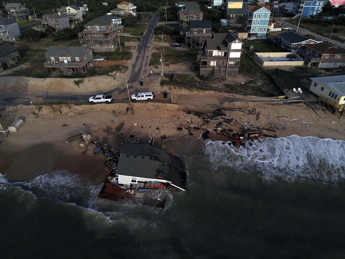
IHAs are defined as shorelines especially vulnerable to erosion and flooding where inlets can shift suddenly and dramatically.
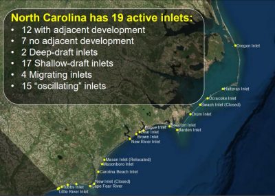
The panel has focused on nine of the state’s 19 active inlets. Inlets excluded from the overhaul include those where the land on both sides of an inlet are federally owned, such as Oregon Inlet.
The proposed IHA maps will be presented to the CRC during one of the commission’s meetings later this year. The commission is set to meet in September and again in November. North Carolina Division of Coastal Management, or DCM, will determine later at which meeting to present the proposed revisions.
This is the first time IHA boundaries have been updated since they were established in 1979.

“The 1979 boundaries were supposed to be good for about 10 years,” said Ken Richardson, shoreline management specialist with DCM.
Supporter Spotlight
For years, the science panel has discussed the need to revise the outdated boundaries, which members of the panel explained were established through the use of antiquated methods.
“It was done basically by hand by looking at aerial photos from different sources,” said Steve Benton, a geologist on the panel. “The numbers were being crunched with a mini-computer. Everything was corrected by hand and it was actually a study of shoreline movements.
“Now we have this incredibly good GIS-type software that allows you to actually turn photos into these maps,” Benton said, referring to geographic information system technology. “The capabilities today, there’s no comparison.”

Of the state’s 19 coastal inlets, 15 are oscillating inlets, which tend to move back and forth, with sand building up on one side and eroding on the other. The remaining four inlets tend to migrate in only one direction.
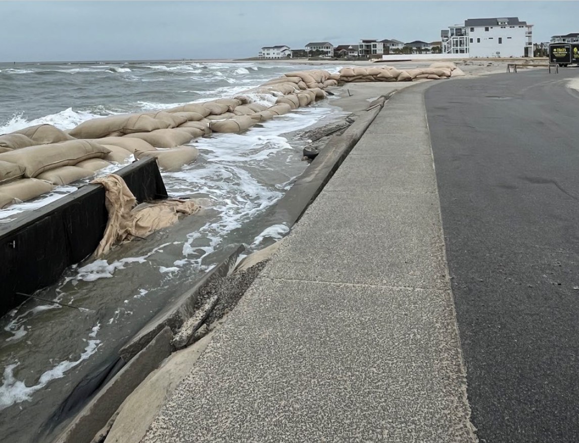
Over the years, as inlets have been developed, sandbagging and beach re-nourishment have been used to stabilize and reduce shoreline erosion to protect homes and infrastructure.
In 2011, the General Assembly repealed a 30-year ban on hardened erosion control structures along the coast, allowing for up to six terminal groins to be built at inlets. A terminal groin is a wall-like structure made of rock or other material placed perpendicular to the shore and adjacent to an inlet to control erosion.
Members of the science panel initiated the idea to update IHA boundaries in 1997, the year the CRC created the panel. But discussions on how to formulate a method to redraw the lines took a back seat once the panel began work on the first of two sea level rise reports.
On Friday, five of the panel’s nine members met in a small conference room at the University of North Carolina Wilmington’s Center for Marine Science to hash out proposed boundaries at a handful of inlets.
No one from the public attended the open meeting.
‘Virgin Territory’
Since no two inlets are alike, the statistical formula created to draw the proposed IHA boundaries did not work at every inlet. In those cases, the panel injected its professional opinion to establish a boundary.
“Nobody has ever done this before,” Benton said. “We’re totally in virgin territory.”
Science panel member Spencer Rogers, an engineer with North Carolina Sea Grant, said the proposed boundaries more clearly define areas of risk, including how far the inlet hazard area extends on the sound side.

“This is much more fine-tuned what we’re working on now,” he said. “This effort is much more closely looking at the influences on the oceanfront related to the inlet.”
The science panel is not a policy-making board.
New regulations will need to be established by the CRC if the commission approves the revised maps, Rogers said.
“The present regulations for present inlet hazard areas will not work with the new maps,” he said.
The rules for building in an IHA specifically pertain to setbacks and density. For example, the only buildings allowed in an IHA are residential structures of no more than four units and non-residential buildings with less than 5,000 square feet.
General rules for ocean hazard areas of environmental concern, or AECs, also apply within an IHA. Ocean Hazard AECs are defined as areas that may be easily destroyed by erosion or flooding or may have environmental, social, economic or aesthetic values that make it valuable to the state.
DCM staff will provide amended rule language with the new proposed maps for the commission to consider, Richardson said.
The proposed revisions to the maps and rules will be made public once the information has been presented to the commission. After that time, a series of public hearings will be held, Richardson said.
A majority of the inlets where revisions are proposed are built out, which means new regulations will most likely affect property owners who want to rebuild after a storm.


