
Cape Hatteras National Seashore issued an advisory late afternoon Tuesday that the potential strong wind and waves forecast for the next few days could cause the partial or full collapse of one or more threatened oceanfront structures in Buxton and Rodanthe.
weather forecast
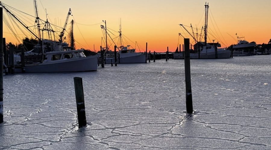
Icy conditions persist, more to come
Marshallberg Harbor is iced in during last weekend’s winter storm. Despite warmer temperatures in the days since, black ice and snow along with refreezing of standing water remain a threat to travel, National Weather Service forecasters in Newport said Thursday. Also, after this brief improvement, strong winds will again develop Friday night over coastal waters as an Arctic front moves through the region, producing strong gale conditions expected to persist into Sunday morning. Photo: Rachael Carlyle

Temperatures drop, weekend wintery low possible
Ice covers a patch of volunteer vegetation near Michael J. Smith Field Tuesday after an overnight freeze in Beaufort. Cold temperatures are forecast to continue through the weekend, when there’s potential for a coastal low pressure to develop, possibly bringing wintry weather, National Weather Service forecasters said Tuesday. Photo: Dylan Ray

Brunswick burn ban to go into effect Monday
Brunswick County is implementing a burn ban starting at 5 p.m. Monday due to continuing hot temperatures.
Forecasters predict 13 to 19 named storms for 2025 season
National Weather Service forecasters are predicting the 2025 Atlantic hurricane season, which begins June 1 and ends Nov. 30, to have above-normal activity.
Weather spotters needed to help document rain, hail, snow
Home-based and amateur weather spotters in North Carolina are encouraged to join a countrywide network that documents the size, intensity, duration and patterns of rain, hail and snow.
Dry, gusty conditions prompt burn ban in Brunswick County
“The current and future weather forecast models indicate conditions that are not favorable for open burning.”
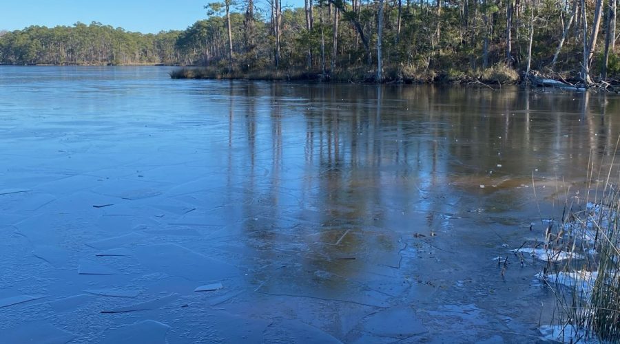
Wintry Wednesday
Ice is shown Wednesday morning covering the surface of Hancock Creek in Havelock. After several days of lows in the teens and 20s, the air temperature was around 46 degrees Fahrenheit when the photo was taken. The National Weather Service Newport office predicts temperatures in the area to continue to warm with highs by Friday and Saturday approaching or exceeding 70 degrees. Photo: Capt. Gordon Churchill