Though it snakes 50 miles through Onslow County from start to finish, the New River is, in a practical sense, two distinct parts.
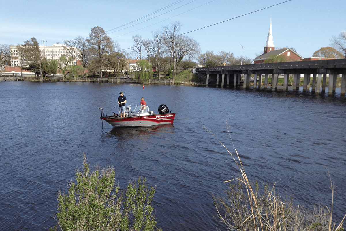
The upper river begins northwest of Richlands, a small but increasingly developing town that’s roughly 10 miles from the Duplin County line. From there, the river cuts a narrow path through largely rural agricultural land southeast to Jacksonville, where it widens, its fresh water transitioning to salt water.
Supporter Spotlight

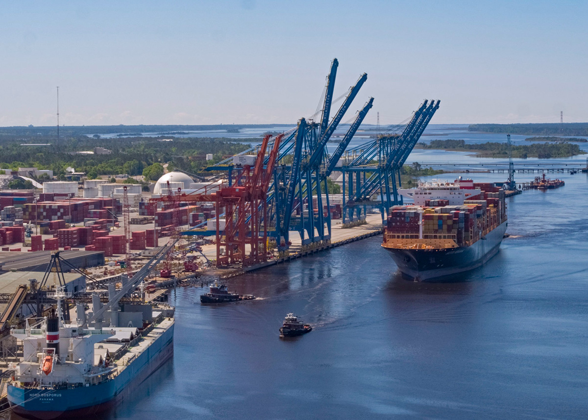
The lower river then forms into a tidal estuarine 2 miles wide before ultimately opening into Onslow Bay in the Atlantic Ocean.
Plans have been in the works some two years now to ensure the river’s distinguishing parts get the attention they need. This year, Coastal Carolina Riverwatch, with the support of the North Carolina Department of Environmental Quality, is finalizing the Lower New River Watershed Restoration Plan, one that focuses on areas where saltwater creeks drain into shellfish-harvesting waters and tributaries including bays and creeks.
One river, two plans.
Plans are being designed through a wide-reaching collaborative effort to work in unison to restore and protect the river’s water quality.
“We felt that, even though this a river that begins and ends in Onslow County, that it would be a great opportunity for us to separate it into two different plans so that we are spending as much time as we can in those two sections and really delve into the issues and the concerns and things that are affecting water quality and things that could potentially improve water quality through the watershed restoration plan,” Coastal Carolina Riverwatch Executive Director Lisa Rider told Coastal Review in an interview earlier this month.
Next year, the upper New River plan is expected to be complete. That plan addresses inland freshwater systems that flow through neighborhoods, farms, and paddle trails, she added.
Supporter Spotlight

At their cores, the plans espouse the connections shared by water, land and people. Essential to both missions is bridging people, whether it be those who live along it, recreate on it, or fish in it for sustenance, with organizations and agencies “needed to respond at the scale the river demands” to improve and protect it, Rider explained.
“It’s definitely a collaborative effort and I think that’s what makes this process a little bit unique for the watershed water management planning,” she said. “We’ve been really spending a lot of time connecting with community members, leadership in the community, folks that really have a unique grasp of what’s going on in the area.”
Riverwatch has worked through the New River Roundtable, a collaborative group of scientists, regulators, academics, government representatives and stakeholders, Rider explained. The organization has also worked closely with the county and with state partners.
The organization took a boots-on-the-ground approach, setting up at local festivals and other public events and speaking at various homeowners’ associations and community meetings.
The watershed restoration plans are a first for Coastal Carolina Riverwatch, an organization that has for years been monitoring the New River to try and determine sources of bacteria detected in the river.
The plans are rooted in the idea that, by creating one set of watershed restoration plans for the river, “we may get some really great projects out of that” to fill in gaps in areas of the river where water quality improvements and protections are needed, Rider said.
“That sort of initiated us into starting to work with the North Carolina Land and Water Fund to start funding the lower part of the New River plan, and we talked to them quite a bit about the reasoning for separating those plans out, knowing that eventually we would be working in unison,” she said.
The North Carolina Division of Water Resources has been key in helping the organization make the lower river plan sustainable through continued use and updates.
The plans in the agency’s watershed improvement projects, or WIPS, tool, which maps water quality improvement projects reported by residents, organizations and local governments.
“Even after the plan is complete it’s not really complete because we’re going to be continually using the watershed improvement tool to gauge what the public sees, what’s being requested in terms of projects by stakeholders and community members, and then looking to help connect funders with the projects that are being prioritized,” Rider said.
Severe pollution closed the New River to the public in the 1980s.
Things were so dire in the river that when 25 million gallons of waste flowed from a breached hog lagoon into its waters, no fish kills were recorded.
Three years after that spill, Jacksonville closed its downtown wastewater treatment plant to cut off the predominant source of pollution that had been sickening the lower river, where the riverbed between Wilson Bay and Stones Bay was covered by soft organics like ammonia and phosphates that, when in excessive amounts, choke out aquatic life.
City officials urged those at Marine Corps Base Camp Lejeune to stop its wastewater facility from discharging into the river.
The river was reopened in 2001.
Since then, both the city and Onslow County have been taking further steps to improve and protect the New River.
Jacksonville took on a multiyear project installing artificial reefs on either side of the river between Wilson Bay and Stones Bay to grow millions of oysters. The final phase of the $1.6 million Oyster Highway Project, which has helped usher marine life back into the river, wrapped a couple of years ago.
In 2024, the city’s elected leaders signed off on a grant awarded to Jacksonville’s stormwater department to develop a New River Nutrient Management Plan.
That plan focuses on nutrient loading from nonpoint sources — stormwater that flows from streets, subdivisions, commercial and industrial areas — into the city’s drainage system.
Last December, the Onslow County Board of Commissioners adopted a resolution that supports using low-impact development strategies in all new or significantly renovated county-funded facilities “when they are fiscally responsible and practical,” according to a county notice.
The resolution also encourages the county school system and Coastal Carolina Community College in Jacksonville to adopt similar strategies, such as bioretention areas, swales, pocket wetlands, impervious surface removal, cisterns, green roofs, and permeable pavement, for new and renovated projects.
“As Onslow County continues to grow it will be increasingly important to meet the needs of future development through sustainable means,” according to a county release.
Onslow County residents who would like to help Coastal Carolina Riverwatch identify flood-prone areas, streams in need of restoration or stabilization, areas where stormwater runoff causes erosion or water quality problems, and flood mitigation projects may contact the organization by email at waterkeeper@coastalcarolina.org.
Community-based organizations, including homeowner associations, civic and church groups, environmental and conservation clubs, paddling and fishing organizations, business associations and school groups may request a presentation by Coastal Carolina Riverwatch – or offer a project idea, or talk about an area where there are problems with flooding, at one of the group’s regular meetings.
“The collaboration, I think, really reflects how the river itself works,” Rider said. “Water doesn’t recognize those jurisdictional lines so the solutions themselves are more effective when the planning reflects that reality. This approach, we fell like, helps ensure that the investments are targeted, the support is local, and that it’s designed to deliver real benefits for both water quality and the quality of life across the watershed.”