The North Carolina Marine & Estuary Foundation and North Carolina Division of Marine Fisheries plan this year to expand a red drum tagging program that offers insight into the movement patterns of North Carolina’s official state saltwater fish.
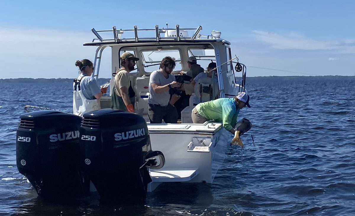
The foundation announced Tuesday plans to tag 25 more red drum, adding to the 33 tagged last year during expeditions led by the foundation and the division in conjunction with local fishing guides along the North Carolina coast.
Supporter Spotlight

The tags allow the public to track the movements of red drum, including through coastal inlets and spawning locations, through an interactive tracking platform funded by the foundation and developed in collaboration with technology company Mapotic.
The interactive tracking platform for red drum brings cutting-edge marine science directly to the public.
Since its launch, the platform has recorded more than 28,000 views.
“Red drum are an iconic symbol of North Carolina’s coastal communities, and the public interest in our groundbreaking red drum tracker demonstrates North Carolinians’ strong affinity for the species,” Marine & Estuary Foundation Executive Director Chad Thomas stated in a release. “This year, we are excited to continue developing our platform and aim to tag 25 additional red drum in partnership with the Division. Our work enables researchers, anglers, and the public to better understand the migratory habits of one of North Carolina’s most economically and culturally significant species.”
A pilot study launched in 2024 in which 10 adult red drum were tagged in Pamlico Sound allowed researchers to determine which tag attachment methods work best and optimal satellite transmission settings.
Supporter Spotlight

The tagging project was expanded last year and is being conducted with assistance from recreational fishing guides and as part of the division’s annual longline survey.
Tags are programmed in intervals ranging from 30 days to 12 months to detach from a fish and “pop up” at the surface, transmitting daily location data to the Argos satellite network, creating a detailed map of a fish’s movements.
“Because red drum often travel near the surface, some tags may send data before their programmed release, providing early insights into fish locations,” according to the release.