Cape Hatteras National Seashore is teaming up with researchers and government representatives to begin a multiyear study on transportation and resource management challenges on Ocracoke Island.
Working with the University of North Carolina Chapel Hill, North Carolina State University, Duke University, East Carolina University, North Carolina Department of Transportation, Hyde County and Tideland Electric Membership Corp., the study is to answer a series of questions relating to transportation adaptation and mitigation strategies to improve transportation reliability and management of natural barrier island processes.
Supporter Spotlight
An information and feedback session is scheduled from 1-2:30 p.m. Sept. 4 at the Ocracoke Community Center.
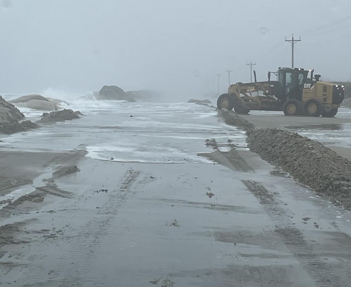
“Transportation strategies that have been used for decades to maintain N.C. Highway 12 and the South Dock Ferry Terminal can impact seashore lands and may have inadvertently contributed to the low elevations and narrow island widths that currently make transportation susceptible to disruption from multiple sources including ocean overwash, soundside flooding and heavy precipitation events,” according to a seashore release.
The overall goal of the project is to inform decision making as Cape Hatteras National Seashore, NCDOT, Hyde County and the village of Ocracoke work to address transportation and resource management-related challenges along the east end of Ocracoke Island as well as access to and from Hatteras Island.
The results from initial modeling and public feedback will be incorporated into the second year of research, which will evaluate the effects of other transportation strategies before concluding with a second information session during the summer of 2025.
To learn more about the study, including additional opportunities to provide feedback, visit the website.


