From the spruce-fir forests at the state’s highest elevations to the sea level sand flats of the coast, a newly released guidebook offers detailed descriptions of these and the other nearly 350 recognized natural communities across the state.
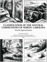
The 1,235-page “Classification of the Natural Communities of North Carolina” by Michael Schafale, community ecologist with the North Carolina Natural Heritage Program, is available online at no charge.
Supporter Spotlight
The Natural Heritage Program works to provide research and data, and helps guide decisions on the potential ecological impacts of conservation and development projects. This program is part of the Division of Land and Water Stewardship within the North Carolina Department of Natural and Cultural Resources.
Schafale explained recently to Coastal Review that the Natural Heritage Program keeps records of the best examples of each kind of community and uses them to prioritize conservation and make sure all kinds get protected. The land conservation agencies and nonprofits work on that goal to varying degrees.
Schafale, who’s been with the program since 1983, earned his master’s in botany with a focus on plant community ecology from Duke University. He also has been part of the collaborative, multi-institutional Carolina Vegetation Survey since 1987. He references the survey’s data, and that of the National Vegetation Classification, in the guidebook.
This is the fourth edition of the guide, called an approximation like the three prior editions to “remind the user that, while it is the best synthesis of knowledge the author can offer at this time, and can be useful, our understanding will continue to evolve,” according to the introduction. The first approximation was completed in 1984, the second in 1985, and the third in 1990.
A “natural community” is the collection of living things naturally occurring together in a particular kind of environment, Schafale said. Or, “in terms of the things people see — natural communities are the different kinds of forests, grasslands, marshes, etc. that make up the natural landscape.”
Supporter Spotlight
These natural communities have a certain combination of moisture, soil chemistry, topography, elevation, fire or flood frequency, and tend to have the same kind of plants and animals.
“It varies a bit over time and a bit from one such place to another, but you can recognize it as the same kind of thing. If you see some of the species that tend to be in them, you can predict that you have a good chance of finding others,” he said.
The 343 natural communities in the state highlighted in the resource are grouped into 30 themes, with types and subtypes nested under the themes. “There is substantial description material for both the broad themes and the individual subtypes,” Schafale continued.

While the resource is technical and intended for ecologists, botanists and others familiar with scientific names and jargon, the concepts of the communities should be understandable to a broader range of people familiar with the wildlands and natural areas of North Carolina.
“The classification is also likely to be useful to anybody who needs to name natural vegetation or natural ecosystems or types of animal habitat– academic biologists, agency biologists, environmental consultants, possibly regulatory agency people as well, though the communities themselves are not targets of regulation,” he said.
Work began on the fourth edition at a slow pace just a couple years after the third was published in 1990, then a briefer publication to the fourth approximation, called the “guide,” was published in 2012, Schafale said.
“Most of the communities in the classification were worked out by then. It was the plan from that time to produce a more thorough descriptive book, with more thorough description of the communities, more literature review, more use of the Carolina Vegetation Survey data. Work on it began shortly after the guide was published. So that is what is now finished,” he said, adding all of this builds on the earlier editions.
One of the most important changes since the 1990 edition is that there is enough understanding to recognize subtypes where he said they once just saw unintelligible variation.
For example, the 1990 classification recognized one type of pine savanna while the fourth recognizes four, and they can determine what species are only going to be in one or two of the types of pine savanna.
“That kind of refinement has happened in virtually all the communities that were known in 1990. There are a few communities that we just didn’t know about at all in 1990, such as the very rare Calcareous Coastal Fringe Forest, where soils filled with shells support plants that need high calcium levels,” he said.
Also, for the new approximation, “We extended recognition to some things we knew existed but hadn’t covered, such as the pond lily beds along tidal rivers,” he said. “Over a much broader spectrum, we can recognize and name kinds of variation that once were just disorderly heterogeneity, and by doing so, we can make sure they get conserved and we can accumulate understanding specific to them.”
This includes a majority of the communities. “There are new data and information on the species that make them up, on their dynamics, and on their other characteristics.”
Schafale explained that the Carolina Vegetation Survey and National Vegetation Classification brought a tremendous increase in the amount of available data.
The Carolina Vegetation Survey works to document natural vegetation for inventory, monitoring of environmental impacts, and assessment of conservation status.
Survey data are still not fully analyzed, but they were used extensively in writing the descriptions for this guidebook, Schafale said.
“Where pieces of the dataset had been analyzed, the insights gained went into its classification. An example is the Sandhills Mesic Transition Subtype and Coastal Plain Mesic Transition Subtype of Pine/Scrub Oak Sandhill. The distinction is visible in the data but was not recognized until the analysis showed it to us,” he said.
The National Vegetation Classification is a comprehensive classification system for all vegetation types in the United States. Work began on this classification in the early 1990s with the first version released in 1998 and a second in 2016.
The classification brought the insights of many more people and people over a wider range of states to the fourth approximation, he said.
Coastal communities, climate change
Schafale said he finds the coastal region to be extremely interesting, ecologically.
“One of the notable things is its tremendous diversity of natural communities as well as species,” which he said is “remarkable” despite having very little topography.
“Most places with high diversity are mountainous, and differences in elevation and topography and rockiness are a major thing that makes it possible. The coastal plain has very little variation in elevation or climate and is nearly flat, but a lot of variety is tied to its subtle topography, to differences in soil texture, and to all the different ways a wetland can be wet,” he explained. “River swamps, tidal areas, wet upland flats, peatlands, Carolina bays, and limesink ponds are all wetlands, but they are different in how deep the water gets, how long it stays, how regularly it comes back, how long the soil is saturated, whether it flows.”
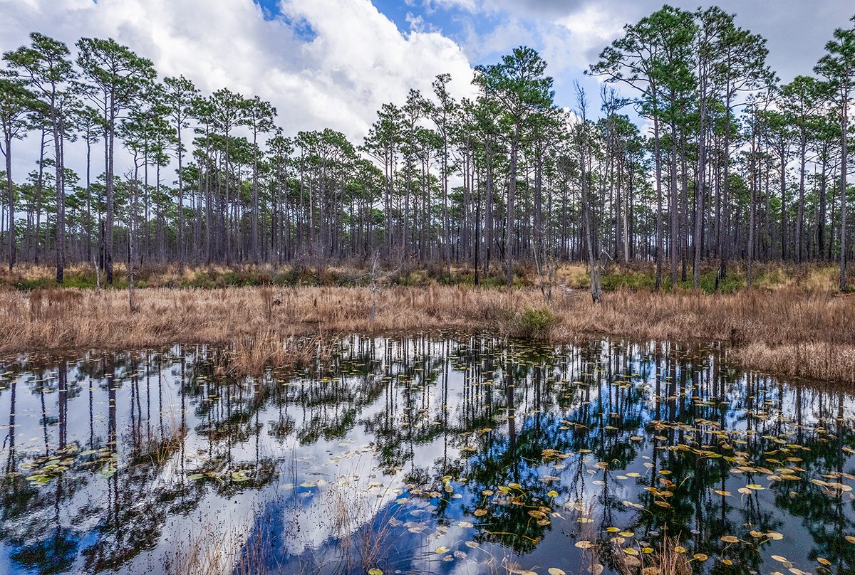
The coast is filled with exceptional natural communities, like “pocosins — those tangled masses of evergreen shrubs, both on the big peatlands and in the larger Carolina bays. North Carolina has the lion’s share of them,” Schafale said.

And the longleaf pine savannas, “with the tremendous numbers of plant species packed into small areas. There is something like them throughout the South, but North Carolina’s particular kinds are rare and narrowly ranging – you don’t get to the middle of South Carolina before you’re in different ones.”
The natural lakes are another exceptional natural community. “Almost all the natural lakes between Florida and New England are in North Carolina, and there are just a handful. And among them, there is not another one like Lake Waccamaw.”
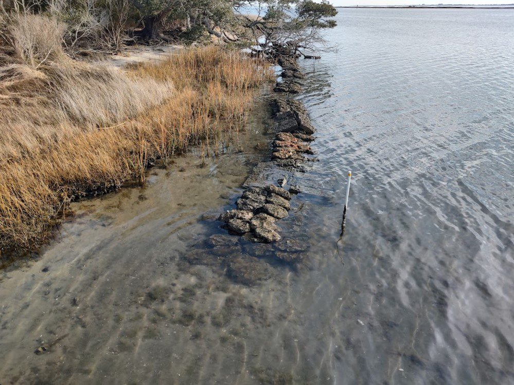
North Carolina has some of the best examples left of “the more widespread coastal communities like the dune grasslands and tidal marshes, and the river swamps and bottomland hardwoods.”
While not the primary purpose, the tool still has usefulness in understanding climate change.
“The different communities will respond to climate change differently, so understanding what they are can give a framework for considering and predicting responses to climate change,” he said.
When the Natural Heritage Program analyzed the effects of climate change on the state’s biodiversity some years ago, the work was organized by the themes and communities in the fourth approximation.
Currently, he continued, the Natural and Working Lands committee for addressing greenhouse gases has put an emphasis on peatlands for carbon storage – the peatland pocosins and coastal plain nonalluvial wetland forest themes of the fourth approximation.
“As a concrete example of how communities differ, the spruce-fir forests theme is the coldest set of communities in the state, so perhaps one of the most vulnerable to warming per se,” Schafale said. “The longleaf pine communities are composed of species that mostly range well to the south, so they are not so likely to be vulnerable to warmer temperature. But they depend on fire, so changes in weather that make it harder to do controlled burning will be bad for them, though no more so than institutional changes that make burning harder.”


