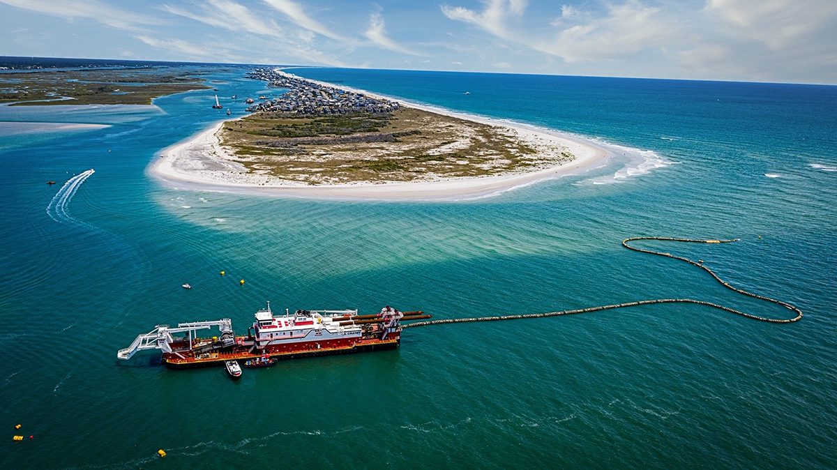
TOPSAIL BEACH – The Topsail Beach Planning Board on Wednesday denied a request to rezone a portion of the undeveloped southern end of the town to build a family compound.
The board’s unanimous recommendation now goes to Topsail Beach commissioners, who will decide whether to uphold the planning board’s vote or approve the application to conditionally rezone roughly a quarter of the property known as The Point from its current conservation zone.
Supporter Spotlight
Commissioners are expected during their June 14 meeting to schedule a public hearing, which is anticipated to be held during the board’s July 12 meeting.
Raleigh software entrepreneur Todd Olson’s rezoning request has been met with a flurry of opposition from property owners in the town, throughout the island and tourists who frequent the town for family vacations and day trips.
After the planning board cast its vote Wednesday, one man in the audience called out, “Hallelujah!” A majority of people filling the chairs set up in The Historic Assembly Building in the heart of the Pender County town’s business district applauded the decision.
Representatives of the Olson family declined to comment after the meeting.
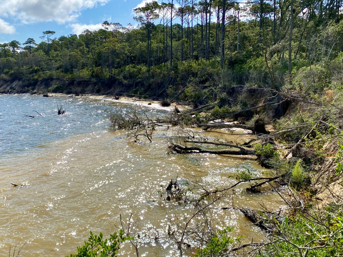
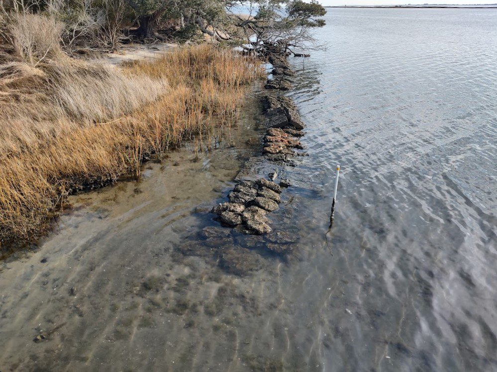
The Olson family wants to build seven houses, a pool and pool house, decking, beach and sound accesses and a six-slip private marina on the sprawling nearly 150-acre site that has steadily grown over the years as the southern end of Topsail Island at New Topsail Inlet has accrued sand.
Supporter Spotlight
The Olsons are under contract to buy the land pending whether or not the footprint in which building would occur – fewer than 30 acres – gets rezoned.
They have also signed a letter of intent with the North Carolina Coastal Land Trust to grant the organization a conservation easement for a minimum of 80% of the property. If that deal were to go through it would mean that more than 115 acres would forever stay undeveloped.
For months now, town residents, property owners and tourists have expressed opposition to the rezoning request in public meetings and hearings, and on social media.
A grassroots group called Conserve the Point is working with nongovernmental organizations to try and cull public and private funding to buy the land from the McLeod family, which has owned the property for decades.
Prospective buyer Laura Olson said Wednesday that she is an environmentalist, one who can be found at beach cleanups and who works on water quality issues.
“I do believe we’re on the same team. What makes me worried are the options that would come after us,” she said, alluding to developers who might eye the land if it remains on the market.
There are areas of the property that are already threatened, she said. Unleashed dogs disturb the nests of shorebirds and people sometimes traverse the dunes.
The land is designated critical habitat to threatened and endangered piping plovers and loggerhead sea turtles.
“We do plan to work with scientists and protecting things on the property,” Olson said.
She said a conservation easement for the majority of the land would be made official before building would begin.
“Honestly, we’re pretty focused with our family and our work lives today,” Olson said. “This is a project we don’t even really want to be working on right now. This is for the future.”
Even if commissioners buck the planning board’s recommendation, any proposed development of the land will face the scrutiny of federal and state regulatory agencies.
The property is in a federally designated Coastal Barrier Resources Act, or CBRA, unit.
Congress enacted CBRA, pronounced “cobra,” in the early 1980s to discourage development in low-lying, storm- and flood-prone coastal areas by prohibiting certain federal assistance within those areas, including access to the National Flood Insurance Program. Local governments face the threat of being cut off from some types of federal funding if that town, city or county extends infrastructure such as water and sewer service to development within a CBRA zone.
Topsail Beach has a policy in its current land use plan that mandates any development must connect to the town’s public water system. Because the land is within a CBRA zone, town water cannot be extended on the site.
That and other “differing policies and inconclusive descriptions for development density” resulted in town staff neither recommending or denying the conditional zoning request.
The land is also within a state-designated Inlet Hazard Area, one in which shorelines face a higher threat of erosion and flooding at inlets that can shift suddenly and dramatically.
In a last-minute update to the proposed development plans, Jacksonville-based surveyor Charles Riggs, who represents the Olsons, informed the planning board that the “building envelope,” or area in which development would occur, had been trimmed down from about 26 acres to 18 acres.
That decision was made after consulting further with the Coastal Land Trust and wildlife officials, he said.
“I believe we have a valid, legitimate plan here which includes over 123 acres of conserved land,” Riggs said.
He said the Olson family was still taking some of the conditions set forth by town planning staff under consideration, including deeding one acre adjacent to a town-maintained public parking lot to the town.
“We do not anticipate a helicopter pad. We don’t anticipate any short-term vacation rentals at this time,” Riggs said.
Before casting their votes, planning board members said they had to consider potential future impacts of the rezoning request and proposed development to the environment and to property owners.
“We don’t know the long-term impact as we think about water tanks and burying things and digging up the dunes … I just don’t feel comfortable with that lack of information,” said Carrie Hewitt, the board’s vice chair.


