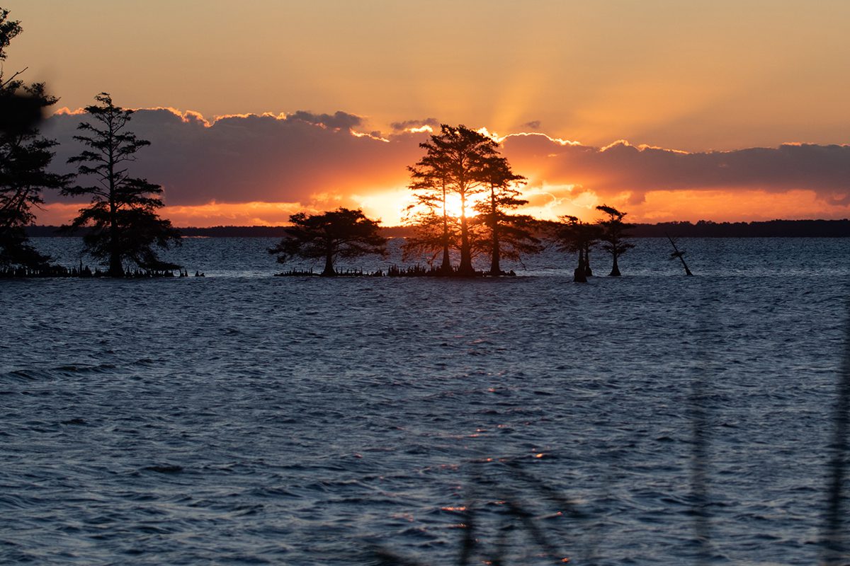
This time of year, the only sounds greeting the sunrise over Lake Mattamuskeet are the soft plop of a fish landing back in the water after a jump and the rustle of wind pushing the grasses lining the shore. Just the spiders and tree silhouettes are visible at this hour of grayness.
As the sun breaks the horizon, a few hidden birds vocalize their presence. Shortly after sunrise, fishermen arrive and begin casting lines into the dark water.
Supporter Spotlight
Lake Mattamuskeet covers about 40,000 acres, making it North Carolina’s largest natural lake and a commanding presence in mainland Hyde County.
“It’s the second largest natural lake east of the Mississippi (River),” said Kelly Davis, who was the longtime biologist for Mattamuskeet National Wildlife Refuge.
In the eastern U.S., excluding the Great Lakes, only Lake Okeechobee in Florida is bigger.
In the winter, the stillness disperses as the lake attracts about 240 species of raucous birds, many of which stop to rest there on their migrations. But some are also year-round residents, Davis said.
And she would know. As the refuge biologist, she managed the waterfowl impoundments around the western, southern and eastern sides of the lake.
Supporter Spotlight
The refuge includes the lake plus an additional 10,000 acres of surrounding land — the impoundments; a visitor center with mounted local mammals and birds, along with interactive exhibits and a gift shop; and the headquarters for the Mattamuskeet refuge, which also includes Swan Quarter and Cedar Island refuges.
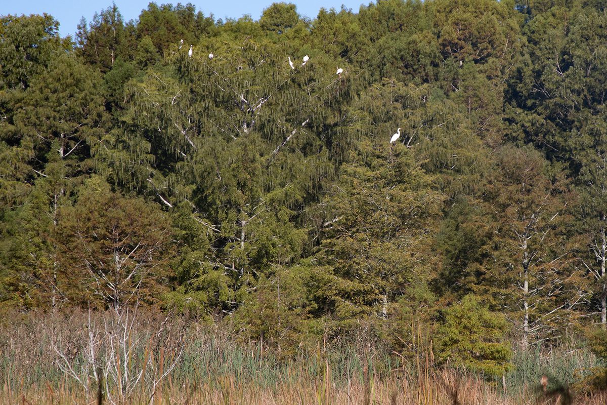
The impoundments are a habitat managed specifically for wildlife, with native grasses, reeds and hedges grown for waterfowl consumption.
“You can manipulate the water levels in the impoundments, and by doing so — during the growing season particularly — you can influence the types of plants that germinate,” Davis said, adding she evaluated the impoundments and wrote an annual management plan for them.
Like any other wetlands, they try to go through natural succession and get “woody” with time, changing from just grasses to include more cattails, wax myrtles or red maples. Setting back this succession to maintain the wetlands means setting units on fire every four to eight years.
“You really want to set the table and have a smorgasbord ready for when thousands and thousands of migratory ducks, geese and swans show up ready to eat,” she said.
Birdwatchers flock there in winter, utilizing the wildlife viewing areas on Wildlife Drive, the nature trails and the two photo blinds on Mattamuskeet National Wildlife Refuge for observation and photography.
The biggest migratory waterfowl is the tundra swan, which nests in Alaska and Canada and comes to Mattamuskeet and Pea Island refuges for the winter.
Duck species include the northern pintail, the green-winged teal, gadwall, ring-necked and wood ducks. There are both resident and migratory Canada geese, of which the latter return to nest near the Hudson Bay in Canada, Davis said. People might see snow geese from the Arctic; warblers from Central and South America; wading birds — some of which are migratory and some of which are not; and raptors.
“Our raptor population always picks up a little bit in the fall and winter,” she said, because they prey on the other birds that arrive. Raptors include the northern harrier, red-tailed hawk, bald eagle and osprey, plus several owl species.
In her work, Davis completed an annual vegetation survey for the lake, conducted aerial surveys of waterfowl in the fall and winter, did alligator surveys, banded “a lot of waterfowl” and counted shorebirds and waterbirds. Osprey production surveys consisted of climbing up into the nests and banding ospreys, she noted.
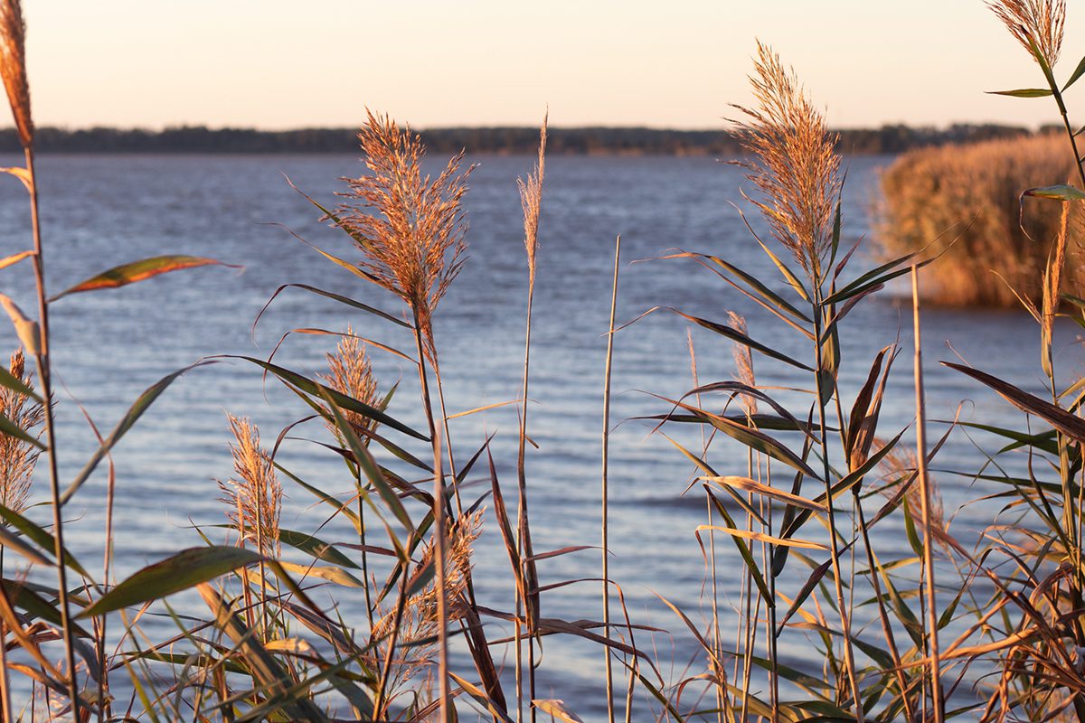
“When you work on a refuge, you do management, you do biology, you do public use, you do it all,” Davis stated. “National wildlife refuges are wonderful places to live and work. Our property adjoins Mattamuskeet refuge in a few places. The lake and refuge are great neighbors.”
Multiple theories abound as to how the expansive body of water formed, the most popular of which include a fire burning deep in the peat and a meteor strike. “We know Mother Nature created it,” Davis noted. “It’s not a human-made lake.”
Researchers from the University of North Carolina took core samples of the lake sediment not quite 20 years ago and found an ash layer in places, Davis recalled. That would suggest a fire occurred, “whether it was a peat forest or meteorite” that burned.
Mac Gibbs, the former Hyde County director with the North Carolina Cooperative Extension, said no proof of a meteorite strike had been found. His opinion? “I really think it’s from the fire that burned the peat soils down to the poor mineral soil.”
It’s not hard to imagine, as even today, the area is prone to massive fires that sometimes burn deep into the peat — organic matter within the soil. In 2008, the Evan Roads Wildfire burned more than 40,000 acres and “burned down 2 and 3 feet in the soil,” Gibbs said.
The fire theory also lines up with area Algonquian tribes’ oral tradition, which maintains a fire caused the depression that filled with rainwater, forming the lake. It was the Native Americans who named the area Mattamuskeet, meaning “dry dust.”
No rivers, springs or other waterways feed the lake, so its water did come from rain, runoff, groundwater, a receding ocean or a combination of those.
Gibbs said the lake’s average depth was historically about 4 feet, “so it’s a very shallow lake.” He estimates the current average depth around closer to 6 or 7 feet because of sea level rise and other contributing factors.
Much of the lake’s base is organic, although some parts are sandy and some parts are clay. “The northwest side of the lake has sections that have very peaty bottoms,” Davis said.
Sandy soils in places suggest the area was at one time a beach. Geologists maintain that about 75,000 years ago, “that’s where the sea level was,” Gibbs said of the lake area. The ocean began receding and did so until about 14,000 years ago, at which time it reversed course and started rising.
“Fourteen thousand years ago, the sea level was about 200 feet below where it is today,” he said.
Rivers provided drainage from the mountains and Piedmont area, depositing rich topsoil in the area around the lake, which functioned as a delta “just like the Mississippi Delta,” Gibbs described.
“We’ve got some of the richest farmland in the United States, we can grow crops that rival the Midwest,” he said.
For that reason, developers tried to drain and sell land throughout northeastern North Carolina, from the Great Dismal Swamp to Lake Phelps and Lake Mattamuskeet. “It’s been a history of the whole area,” Gibbs said, noting that enslaved people were forced to dig the canals to drain the land.
Developers later succeeded in fully draining the lake several times in the early 1900s and tried to sell it off as farmland — a plan that never came to fruition. “I think mosquitoes had as much to do with it as anything” Gibbs opined. “It was a disappointment at that point in time; it just didn’t work.”
According to a 2016 Our State article by Bryan Mims, the cost of keeping water out of the lake via miles of canals and the three-story pumping station was also prohibitive.
The pumping station was built in 1915 as the world’s largest.
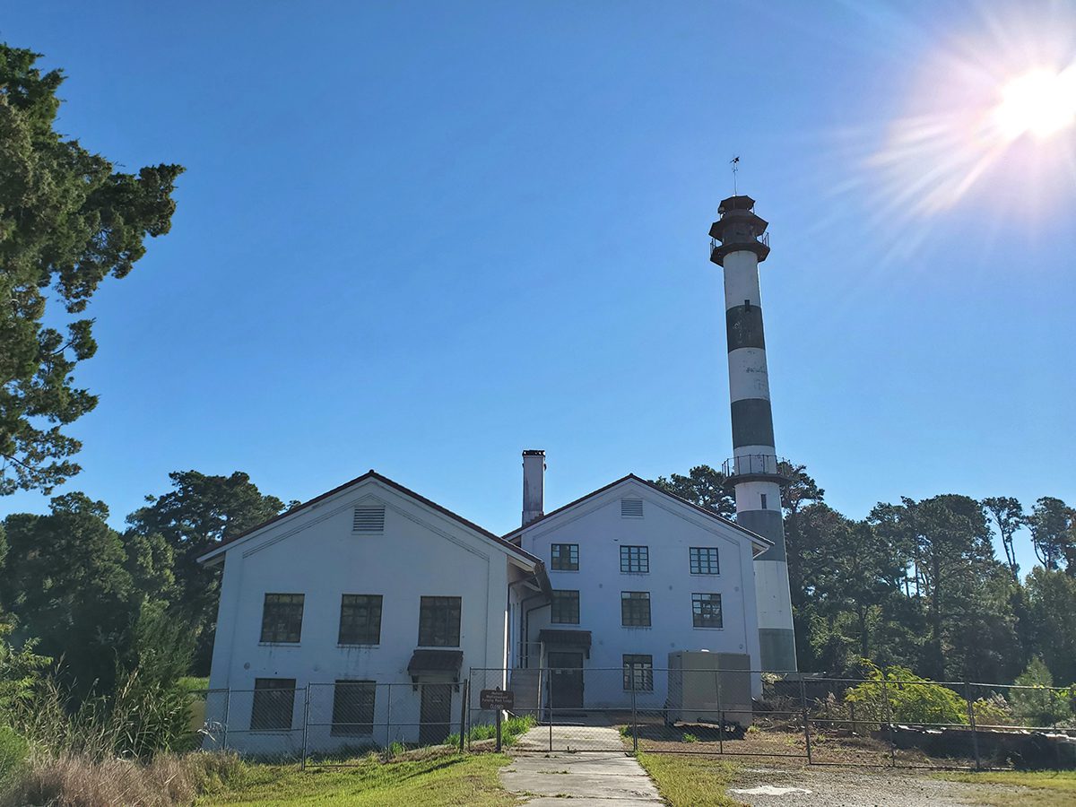
The U.S. government acquired the lake, dedicating it as a wildlife refuge in 1934, and the pumping station was converted to a hunting lodge until 1974. The former pumping station has been on the National Register of Historic Places since 1980 and is now state property.
“Hunting is a big part of Hyde County’s economy,” Davis said, noting that duck hunting and bear hunting are popular, and most hunters pay to hunt on private property.
The refuge runs a small waterfowl hunt near its headquarters, managed on an automated lottery system people can enter for a two-day hunt in December or January, Davis said. The hunt takes place on a 4-mile strip of shoreline that has 16 hunt blinds, including one Americans with Disabilities Act-compliant hunt blind. Hunting is prohibited in the refuge outside of the specified time frame for those lottery winners.
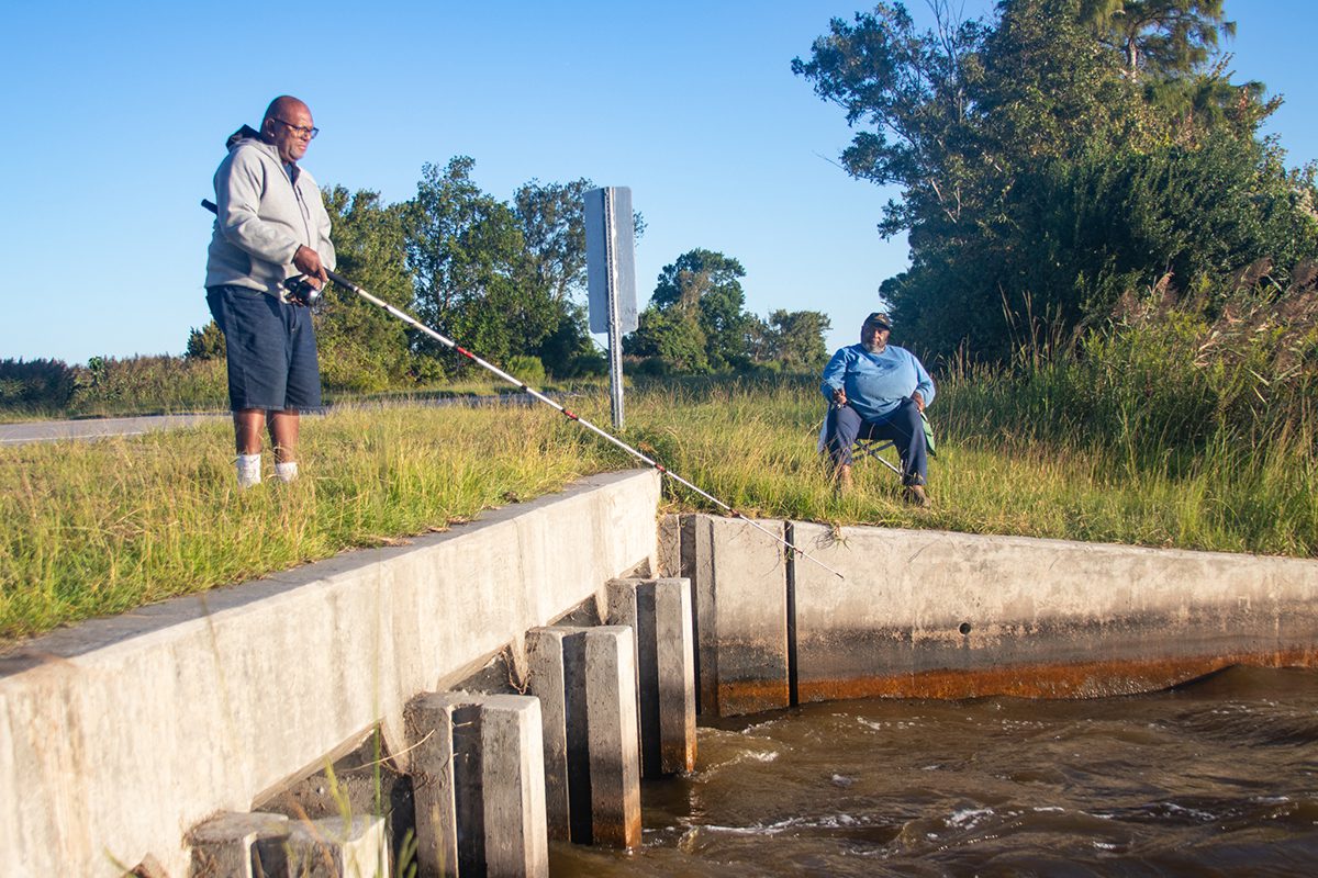
Bank fishing and crabbing are permitted year-round from N.C. 94 and in a few other places on the refuge, while most other fishing is limited from March to October.
Eugene Grays was bank fishing soon after sunrise on a late-September day. He placed one small, round, silvery menhaden fish onto his hook from a bucket of the live bait fish that he’d caught earlier. A rockfish had just broken his line by swimming under the culvert below N.C. 94, which runs north to south across the lake.
“He was a whopper,” Grays lamented the loss of the rockfish. He and his older brother Theotis Grays caught white perch and crabs another day and were currently fishing for white perch and rockfish.
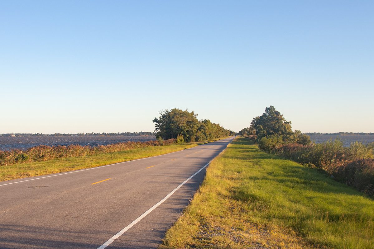
The brothers grew up in Fairfield, the town directly north of the lake. Their father taught them to catch, clean and cook fish, and Eugene Grays recalled coming to the lake as young boys and taking home for lunch whatever they had caught.
He currently lives in Maryland, having moved there to work for the government, but he’s now retired and visits home as often as possible.
“I come home to go fishing,” he said. “There’s nothing like home fishing.”
Many others are similarly drawn to the lake to fish and catch the renowned, massive lake crabs.
“Out-of-towners come all the time,” he said, listing Elizabeth City, Wilson and Raleigh as some of the places from which people come. “They eat everything they catch.”


