Photo: Trista Talton
WILMINGTON – Next week, the New Hanover County Board of Commissioners is expected to consider a regulatory text amendment that would clear the way for a development group to move forward with a proposal to build riverfront luxury, high-rise condominiums that a coalition of environmental and historic preservation groups argue would destroy river habitat, burden county infrastructure and threaten areas of historic and cultural significance.
The board’s decision during its Monday meeting could be a projection of how one coastal county measures the development market amidst the changing climate, one where sea level rise is increasingly impacting the Cape Fear River through downtown Wilmington.
Supporter Spotlight
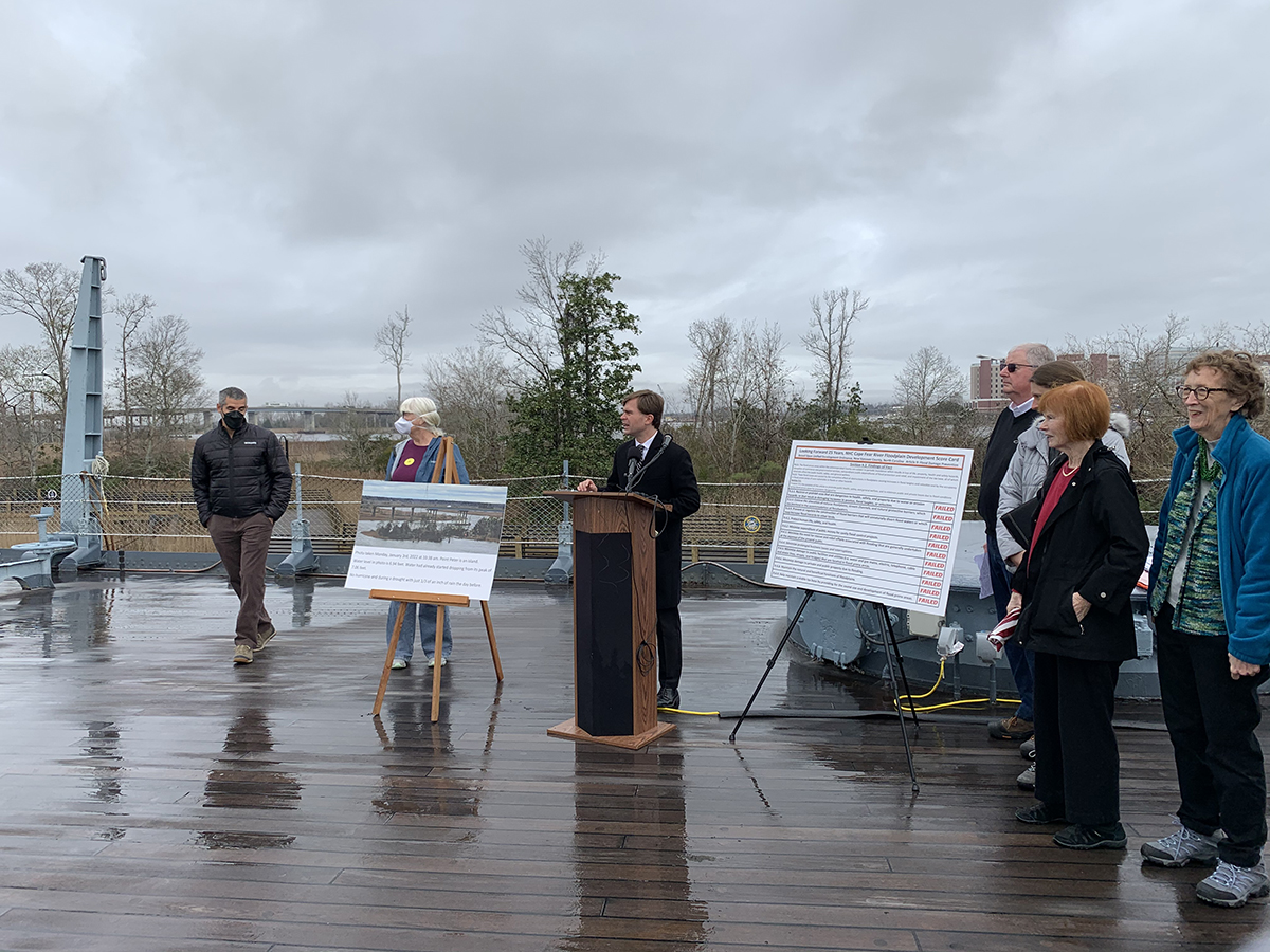
That was evident Wednesday when the coalition held a press conference on the deck of the Battleship North Carolina, which is just south of Point Peter, the plot of land at the confluence of the Cape Fear and Northeast Cape Fear rivers where developers envision building a complex of three high-rises called the Villages at Battleship Point.
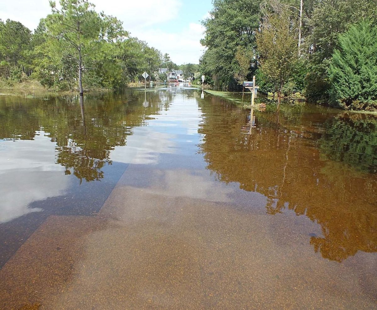
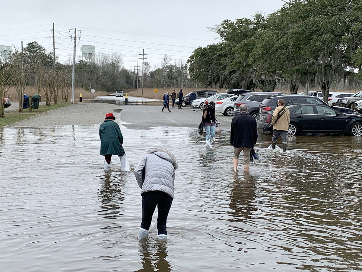
Around noon, an hour or so after the press conference ended, attendees had to wade through floodwaters that had risen with the tide to get from the front doors of the battleship visitor’s center to their cars. In some areas of the lot, the water was nearly knee-high.
Floodwaters overwashed much of the road leading from the parking lot to U.S. 421. The water was so deep along a short stretch of the road that drivers could not see the yellow dividing line.
The Battleship North Carolina is currently undertaking “Living With Water,” a project to make the grounds around the national historic site more flood resilient.
The roughly 8-acre site being eyed for the project proposed by KFJ Development Group, LLC, was the backdrop for the press conference, where members of the coalition verbally checked off a list of concerns they have about the development in an ongoing push urging the county to oppose the developer’s requests.
Supporter Spotlight
“Point Peter is at the mercy of the water that surrounds it,” said Kemp Burdette, Cape Fear Riverkeeper with Cape Fear River Watch. “All of that water is rising in one way or another. To allow this kind of development on Point Peter or anywhere along the western bank of the river is sheer folly.”
He noted the National Oceanic and Atmospheric Administration, or NOAA, sea level rise projections of 1 to 3 feet in Wilmington by 2060.
“Point Peter would be unrecognizable and completely under water,” Burdette said.
He questioned where stormwater runoff from the proposed development would be directed.
Regarding NOAA’s projections, prospective condominium buyers would just barely have paid off their mortgages by then, he said.
The New Hanover County Planning Board in early December declined in a 5-1 vote the developer’s request to add a new zoning district called Riverfront Urban Mixed-Use Zoning district to the county’s Unified Development Ordinance, or UDO.
The planning board’s decision essentially quashed another request by the developer to rezone the property.
In New Hanover County, the board of commissioners make the final decision on UDO amendment requests.
The coalition on Wednesday argued that the proposed zoning district conflicts with New Hanover’s UDO, which addresses minimizing losses to the public and private sectors in flood-prone areas.
Point Peter is in a Federal Emergency Management Agency-designated floodplain, an area, members of the coalition point out, is vulnerable to floods, storm surge and sea level rise.
The coalition includes the Brunswick County Chapter of the NAACP, Cape Fear Group of the Sierra Club, Cape Fear River Assembly, Cape Fear River Watch, Coastal Plain Conservation Group, Historic Wilmington Foundation, Lower Cape Fear League of Women Voters, New Hanover County Chapter of the NAACP, and the North Carolina Coastal Federation.
Representatives of those groups stressed the environmental, cultural and historical importance of the area currently zoned industrial.
Burdette said the part of the river on both sides of the property is a primary nursery area, or PNA, a designation determined by the North Carolina Marine Fisheries Commission. The commission designates PNAs to protect habitat, particularly along bottom areas, including sand, mud, sea grasses and oyster rocks.
Brayton Willis, a member of the Brunswick County Branch of the NAACP’s environmental and climate justice committee, pointed out that the property is included in the Gullah Geechee Cultural Heritage Corridor, a national heritage corridor established by Congress to recognize the culture of the Gullah Geechee.
Gullah Geechee are descendants of Africans enslaved on rice, indigo and sea island cotton plantations of the lower Atlantic Coast.
“Not many people know about this area, this vast, beautiful viewshed, but it sits within the Gullah Geechee heritage corridor,” Willis said. “That’s a national heritage corridor and what they are proposing with the Battleship Point project is the destruction of that important resource. It’s a scarce resource and it requires protection.”
He referred to the 2020 North Carolina Climate Risk Assessment and Resilience Plan and the Lower Cape Fear Blueprint as guidance for how to address future development in the face of the changing climate.
“There’s some good answers out there, things that we can do better,” he said. “And, I think that we need to make sure that our planning folks take full advantage of what we in the state and all across the country dealing with climate change can do to minimize this.”
Willis said climate-adaptive, low-impact development would be a suitable option for the property.
“Rather than building large megastructures, we can do things out here that will preserve and protect not only the floodplain ecosystems, history and culture, but also give our gift to our kids and our grandkids. They’re the ones that are going to wind up playing the bill,” he said.
Historic Wilmington Foundation Executive Director Travis Gilbert said rezoning the land would have a detrimental effect on the region’s cultural resources, specifically the USS North Carolina, one of two national historic landmarks in the county.
“We would like to see this parcel be rezoned with prescriptive zoning measures that protect the viewsheds of this memorial and national historic site. Measures could include height restrictions and setbacks that preserve the viewsheds of the USS North Carolina,” he said. “We cherish this site. It would be extremely disappointing in the Wilmington Historic Foundation’s opinion to have a 240-foot wall impede the views of this memorial.”
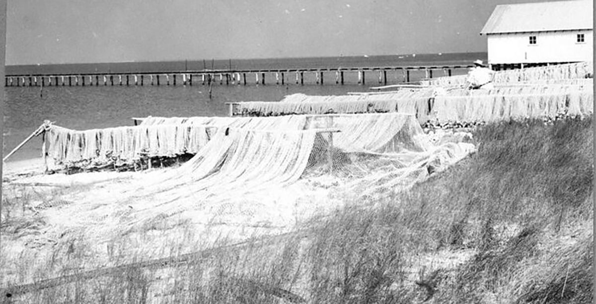
The parcel at issue also includes an archeological resource recorded by the North Carolina Office of State Archeology in April 1979. That resource includes cultural remains on land and under water “that help illuminate the industrial history of New Hanover County,” Gilbert said.
Commissioners are accepting public comments about the proposed project through noon Jan. 9. Comments may be submitted online at planning.nhcgov.com/public-comment-form.


