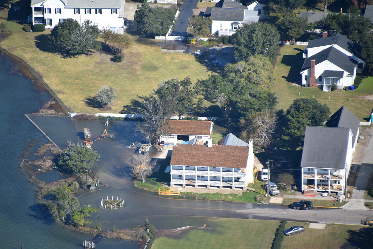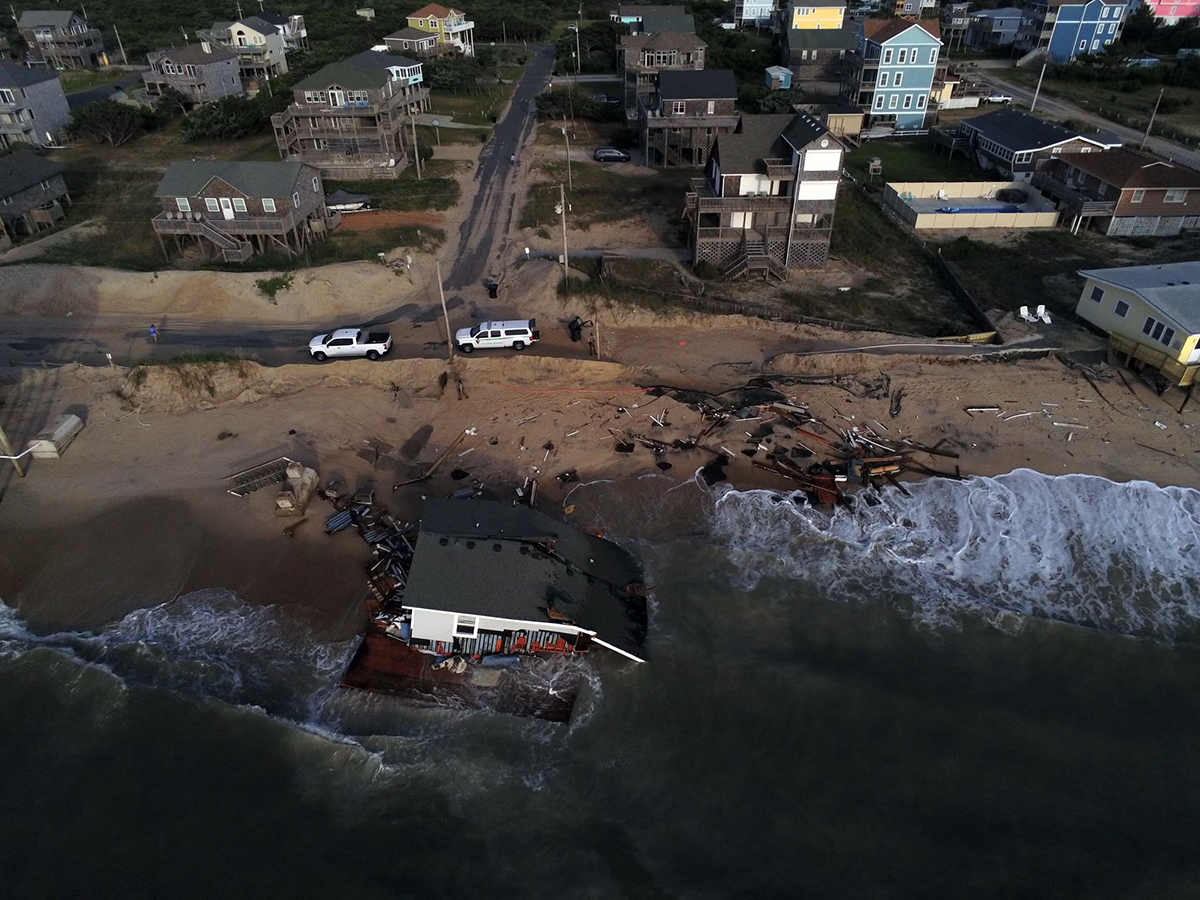
Relatively small, short-lived flooding events – just enough to be a nuisance – are occurring more often along the coast.
These “sunny day” floods are becoming the new norm, disrupting day-to-day life in coastal areas, affecting everyone from residents and business owners to first responders.
Supporter Spotlight
“We’ve already started seeing how coastal communities are experiencing flooding more often than they were before and especially on sunny days, outside of storm events when tides are particularly high,” said Miyuki Hino, assistant professor with the University of North Carolina Chapel Hill.
“We know that this type of flooding is going to become more and more common as sea levels rise in to the future. We decided to start this work because we felt like these types of impacts from these small but very frequent floods were really, for the most part, being overlooked,” Hino added. “It’s hard to understand how often they’re occurring and what types of impacts they have, but we think they have really important consequences for coastal communities and their residents.”

Hino, who works in the university’s Department of City and Regional Planning, is heading research to learn more about “sunny day” flooding, its causes and ways to better forecast when and pinpoint where floods may overtake streets in coastal towns.
To do this, sensors are placed in storm drains located in flooding “hot spots” to track when waters are rising in a drain and when floodwater begins to spill onto a street.
The sensors were developed by Tony Whipple, a research technician, and Ryan Neve, IT and engineering technician at UNC’s Institute of Marine Sciences in Morehead City, and in collaboration with Katherine Anarde, assistant professor at North Carolina State University’s Department of Civil, Construction and Environmental Engineering.
Supporter Spotlight
“We can measure the depths of water and how deep the water is on the road,” Hino said.
The first sensor was placed in a storm drain in Beaufort. At the moment, that sensor is tracking water levels in a drain on Front Street.
The sensor is paired with a street camera pointed at the storm drain. It’s a system that helps researchers verify that flooding is, in fact, occurring and gives them a picture of how much water is on the road and whether the water is covering one or both lanes of the street.
From mid-June through mid-September, the sensor documented eight flooding events on Front Street. Three of those floods were associated with king tide events, when the tide was especially high, Hino said.
King tides, the nonscientific term used to describe the predicted highest high-tide and lowest low-tide events in a year, have been tracked on an international scale going back to 2009.
King Tides Project International, a nonprofit aimed to help coastal residents worldwide understand how sea level rise will impact their communities, has been recruiting locally shot photographs to document extreme high tide events.
The images help coastal residents “visualize how ‘normal’ high tides could look in the future due to sea-level rise,” and are used to create a record of how shorelines look today and track shoreline changes, according to King Tides Project International’s website.
In the U.S., coastal states, including North Carolina, have their own king tide projects.
Hino’s research delves a bit further into the causes of “sunny day” flooding by looking at complications beyond the tide.
In Beaufort, for example, five of the eight flooding events recorded by the sensor in the storm drain on Front Street occurred when the tides were normal.
“But there was rain that then flooded the road because the drainage system was full of ocean water and there was no room for the rain to drain,” Hino said. “That’s been really interesting because these types of short combination rain/tide events really are very difficult to capture and so we had really no sense of how often those would happen. It’s been really interesting to us to see that in just three months we’ve captured five of those and that’s more frequent than tidal flooding.”
Her research will soon expand to Carolina Beach, where the plan is to place sensors in several storm drains along Canal Drive and at the intersection of Florida Avenue and Canal Drive, and in New Bern.
“Both of those are hopefully going to be ramping up in the next couple of months here,” Hino said. “We’ve had a series of conversations with local officials in both places to understand where their priorities are in terms of the spots that they suspect are the worst flooding areas or the spots where they would most benefit from more data in understanding what’s going on. We hope that by collecting data and mapping it back onto those different contributions to flooding that we can actually help them respond in a more efficient way.”
In Carolina Beach, there are two sources of “sunny day” flooding.
“One is through our storm drains and one is through inadequate bulkheads or no bulkheads at all,” said Carolina Beach Planning Director Jeremy Hardison.
Town officials are working with property owners to identify those areas, which include town-owned property at some dead-end streets that stop at the water.
Hardison said sensors will ultimately help the town better respond to flood events. Ultimately, he’d like to be able to pass real-time information collected from sensors to town residents through the town’s website.
The town created a Canal Drive Flooding Advisory Committee in early 2018 to study flooding issues along the road.
Canal Drive and Florida Avenue, which run parallel to the sound, are most impacted by king tides, Hardison said.
About 250 properties line those streets.
“If you live on Canal Drive it’s kind of become a way of life,” Hardison said. “It’s definitely happening more frequently and when it does happen, it’s lingering more often.”
The next step in Hino’s research includes visiting and interviewing residents and business owners in towns where sensors are located to find out how their daily routines are impacted by flooding. Hino said she hopes to start conducting interviews next spring.
She said the intent is to leave the sensors in place for as long as possible, one of the goals being able to demonstrate how much more flooding is occurring because of rising sea levels.
“From our perspective this type of flooding is a really powerful way of experiencing climate change. It’s visible. It’s tangible. It’s disruptive and it’s linked to sea level rise, which we know is a consequence of climate change and we know what direction it’s going in the future,” she said. “We’re always keeping our ear out for communities that feel like this is a problem where they live. It is really hard to track this type of flooding because it’s relatively short-lived and that means that, as researchers, we can’t just point to a place on a map and say this is where it’s worst. We’re really always on the lookout for which places are struggling with this where some of our research can help kind of get a better handle on what’s going on and inform their plans on how they’re going to invest in preparing for a changing climate.”


