DUCK — Stalled for more than a year by the pandemic, coastal scientists and researchers are set to resume this summer a collaborative and potentially groundbreaking project on the Outer Banks that is designed to enhance understanding of storm impacts and to guide coastal communities in building resilient strategies.
The U.S. Coastal Research Program’s DUring Nearshore Event Experiment, or DUNEX, will involve about 32 teams of coastal science experts from numerous academic and research institutions and government agencies that will study coastal processes, including during extreme storms, at several different locations on the Outer Banks this fall through the winter. The program began with a pilot study in fall 2019, but the start of the full experiment was delayed by COVID-19 restrictions.
Supporter Spotlight
At first glance, DUNEX might seem like just another research project, but the “during” in its name reveals one of its most innovative features. Instruments to measure effects will be collecting data not only before and after storms but also as they’re happening. That means with improved observational technologies, researchers will be able to look at the interactions and responses of the coastal processes as a storm is actually underway, which in turn will improve predictive capabilities, accuracy of the numerical model and overall understanding of processes.
“We have a lot of observations during more moderate conditions, but major storms are different because you can’t look at the beach and the ocean as a separate entity,” Britt Raubenheimer, U.S. Coastal Research Program academic team chair, said in an interview. “There are effects of the rain, of the groundwater, of the vegetation, on the ocean that comes up onto land that all interact and work together to influence the beach erosion, the coastal flooding, pollutants that get into the water bodies and then pollutant transport.”
Raubenheimer, applied ocean physics and engineering senior scientist at Woods Hole Oceanographic Institution, said that discussions with community leaders and residents about their experiences, as well as their concerns and needs, will also be an important part of the research, to both inform the scientists and to guide plans that address safety and economic issues into the future.
“In addition to advancing the science, DUNEX will foster coastal community collaboration,” according to a recent statement about the program. “By improving communication between scientists and the coastal community at large, DUNEX will facilitate the translation of scientific research into its use and application.”
The Coastal Research Program is coordinating logistical support and assisting in DUNEX outreach with local stakeholders, which include residents and local officials. The program also facilitates training sessions, community information sharing forums and student volunteer career development related to the Outer Banks work.
Supporter Spotlight
“So we need to do both — addressing those immediate needs, and looking to the future and making better management needs from fundamental research,” Raubenheimer said.
One upside of the pandemic pause, she said, is that it gave more time for researchers to work with stakeholders in the community at “engagement coffees” where people talked about their immediate needs and their observations about storm impacts and discussed topics such as sound side erosion.
As Raubenheimer explained, one of the research teams is looking at overwash deposits south of Oregon Inlet to study if “the ocean brings sediment all the way across to the sound, or takes sediment from the sound, all the way back out to the ocean.”
In a discussion with stakeholders, team members shared information about the range of grain sizes in the sand there and whether it could be beneficial to nourish the sound side. They also talked about the benefit of combining existing data models — such as ocean surge and rainfall predictions — to provide a more complete picture of potential impacts.
“Currently, we don’t have many models that do a good job at compound defense,” she said. “And that’s part of what we’re trying to do — they’re all kept separate right now. And we need to work together because the groundwater comes into that.
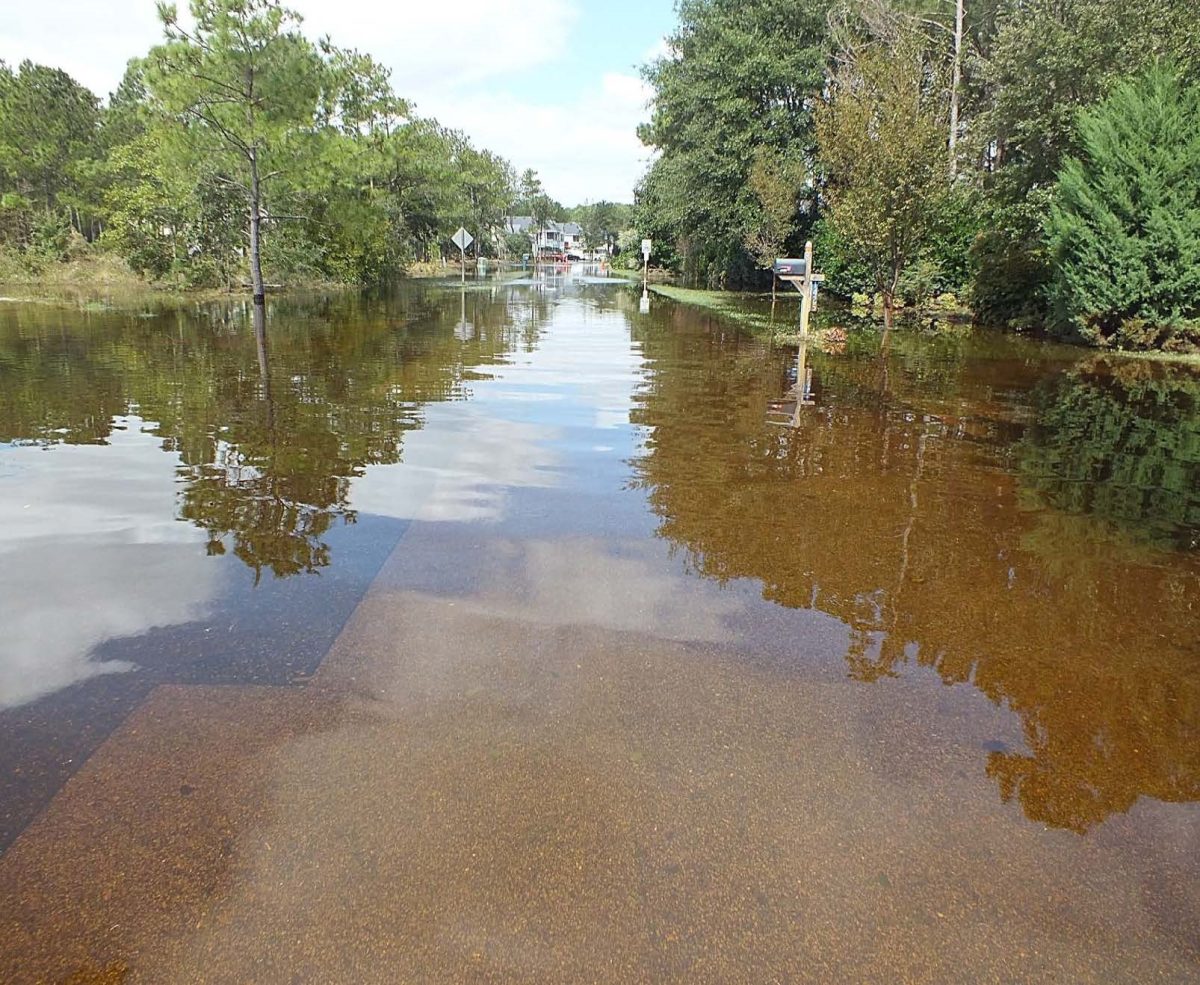
“With Hurricane Matthew, one reason the flooding was so bad is that we had had several prior rainstorms and tropical storms as well,” she continued. “So, the ground was completely saturated. There’s nowhere for that rain and overtopped water to go.”
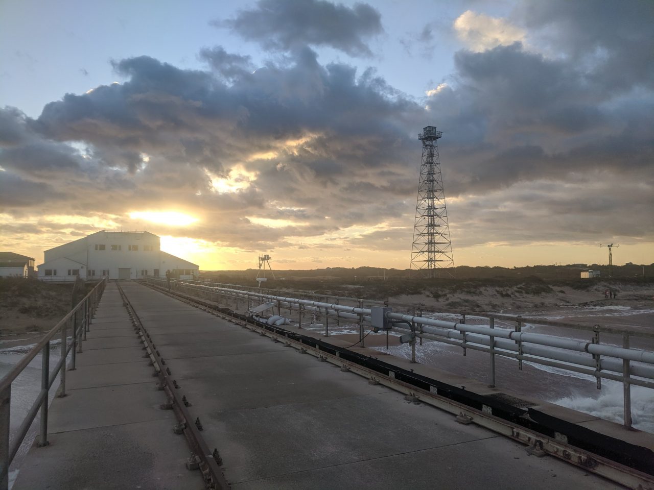
Based at the U.S. Army Engineer Research and Development Center’s Coastal and Hydraulics Laboratory’s Field Research Facility, informally known as the Duck Pier, DUNEX is comprised of coastal specialists from numerous entities, including the National Park Service, U.S. Fish and Wildlife Service, the U.S. Geological Survey, the U.S. Naval Research Laboratory, the North Carolina Department of Transportation, East Carolina University, North Carolina State University, University of North Carolina Chapel Hill, the North Carolina Coastal Federation, and the Woods Hole Oceanic Institution.
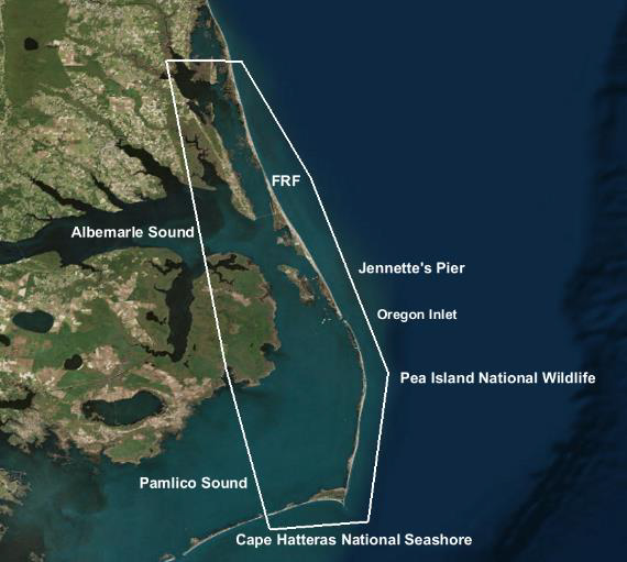
Groundwater specialists have already looked at groundwater at the beach area and will return in the fall to deploy instruments, Raubenheimer said. The U.S. Geological Survey will be doing overflights to look at places that had overwashed, and their colleagues will also be placing instruments at Pea Island to look at hydrodynamics and groundwater interactions. Others are doing similar work in Duck. Researchers also will be looking at windblown sediment transport, and others will be looking at vegetation on the dunes and how that helps the dunes resist. Habitat issues are also part of the research.
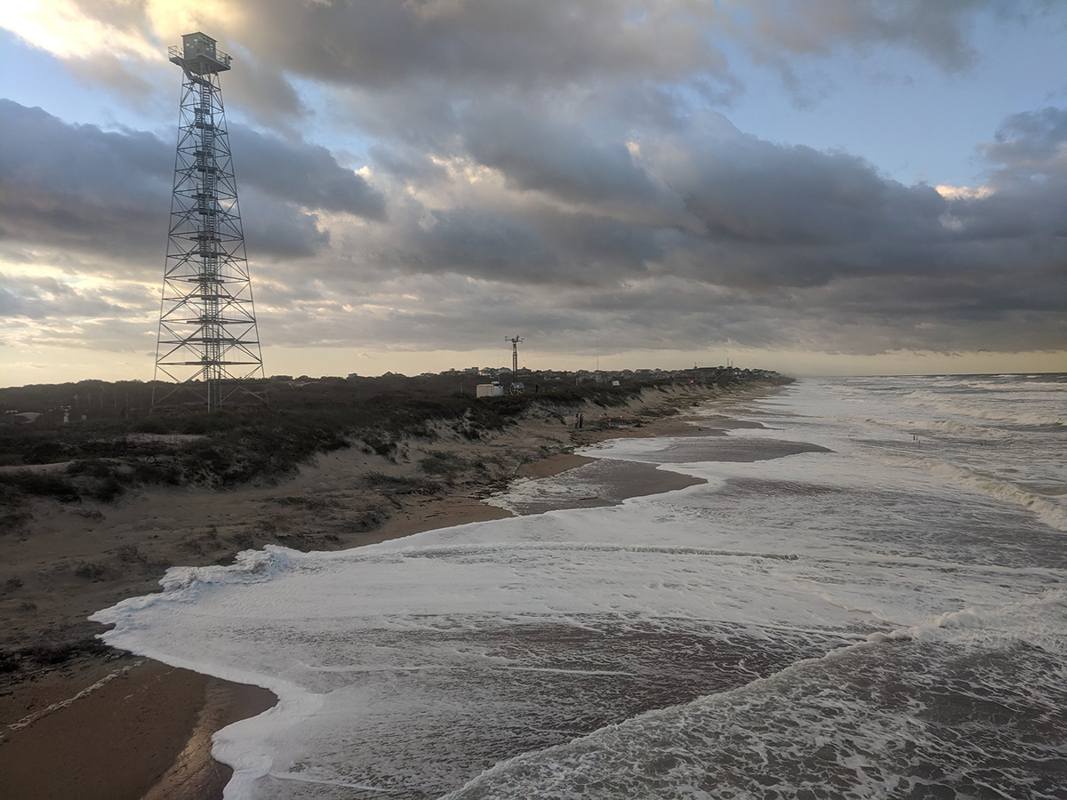
There are two fixed focus areas where instruments will be deployed, one near the field research area in Duck, and other on Pea Island by the new inlet that breached in 2012 and on the south side of Oregon Inlet, she said. Another team will also be working on the sound side by Buxton. In addition, the researchers have had discussions with residents and officials about deploying additional instruments at appropriate places between Hatteras and Corolla when a big storm is expected.
Each research team has a specific goal — a research question they want to answer — that they secured funding to address. “We have our specific little plans, but then we have an overarching goal of working together to understand the system,” Raubenheimer said.
But teams can have multiple projects, she added.
With her team, which includes two senior scientists from Woods Hole — Raubenheimer and her husband, who is her scientist partner/collaborator — along with two doctoral students, two post-doctoral researchers and an engineer. There are six different projects planned with funding from several different agencies or institutions, she said.
One question the team is seeking to address is why after a storm one section of beach will have severe erosion and an area 100 yards away will not. Another project is looking at how waves interact with the dunes and whether they carry sediment to the surf zone that eroded from the dune.
“We can pick off one question and we can propose the question and get funding for it, but the whole reason we’re doing this experiment with a lot of different people is because we know these other processes are affecting what’s going on,” Raubenheimer explained. “So, we’re trying to bring researchers together from many different disciplines who will all be there around the same time and work together to understand this area as a system during big storms.”
Raubenheimer said she first came to the Outer Banks to do research as a grad student in 1994, as did her husband the decade before then, and many other coastal scientists. But the DUNEX research is intended to be applicable to coastal areas in general.
“The Outer Banks was chosen just because it is so often impacted by major storms, both tropical storms and nor’easters,” she said.
Coastal researchers have recently been coordinating efforts to deploy quickly to areas prior to the expected arrival of large storms to set up instruments in the ocean and on the beach to take measurements before and during the event.
“That’s difficult to do, though,” she said. “But the Outer Banks is impacted by storms frequently enough that we’re pretty sure we can put out instruments in advance to get a really good data set of what happens during that event.”
Although field work is expected to be done by the end of this year, the analysis of data and observations will be conducted, both on computers and in discussions, for the next two to three years, she said. Interns and students will be assisting in the field and with the analysis.
DUNEX is also creating a new model for scientists to collaborate, share and brainstorm with each other and with the community in which they’re working, she said.
“Our goal is to have a long-term, continuous interaction with the stakeholders,” Raubenheimer said. “We really want this to be a partnership, so we’re hoping to continue talking with people periodically and to make sure that they realize that they can be in contact with us. And that we might want to be in contact with them, too: ‘Hey, what’s happening on your beach? What have you been seeing recently that might help inform what’s going on?’”


