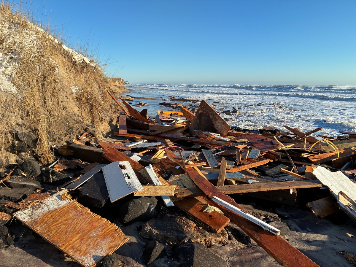
NAGS HEAD — As one of the Outer Banks’ earliest tourism destinations, the town of Nags Head has dedicated considerable resources to protecting its more than 10 miles of ocean beaches, where millions of visitors flock every summer. Now the town is turning its attention to its less dramatic backyard: the 17.3 miles of Roanoke Sound shoreline that has been quietly eroding away, or periodically flooding, in numerous spots.
With a recent $75,000 grant awarded by the National Fish and Wildlife Foundation, the proposed Nags Head Estuarine Shoreline Management Plan would develop a broad strategy to address challenges related to sea level rise and storm damage while balancing private property protections, ecosystem and public health concerns and recreational access.
Supporter Spotlight
“We didn’t want to be in a situation where we’re doing projects in a vacuum,” Michael Zehner, the town’s planning director, said in an interview. “We want to do it more comprehensively.”
Zehner said the town board agreed Dec. 2 during its regular meeting to provide the $75,000 local match. After accounting for in-kind work, he added, the actual dollar amount for the matching funds would be $64,500.
Rain garden in works at town hall
Also during the meeting, the board approved construction of a rain garden at the town’s administrative building off U.S. 158 and N.C. 12. The garden would be situated between the parking lot and the road, which is often plagued by standing water after rainstorms. It will include a gutter system at the front entrance of the building and an extension pipe to carry water through the natural rain garden, which will be planted with native plants.
According to information in the grant request, the shoreline plan’s objectives include conducting a biogeographical inventory of the current and historical shoreline and to identify best management practices, uses and policy. The plan would also investigate legal and regulatory issues as well as examine the potential future impacts from rising seas.

“The Estuarine Shoreline Management Plan will be made up of a series of both traditional and innovative design approaches,” according to the town project overview. “While a Shoreline Management Plan can be viewed as a more traditional, planning tool, this project proposes to use innovative approaches within the plan.”
Supporter Spotlight
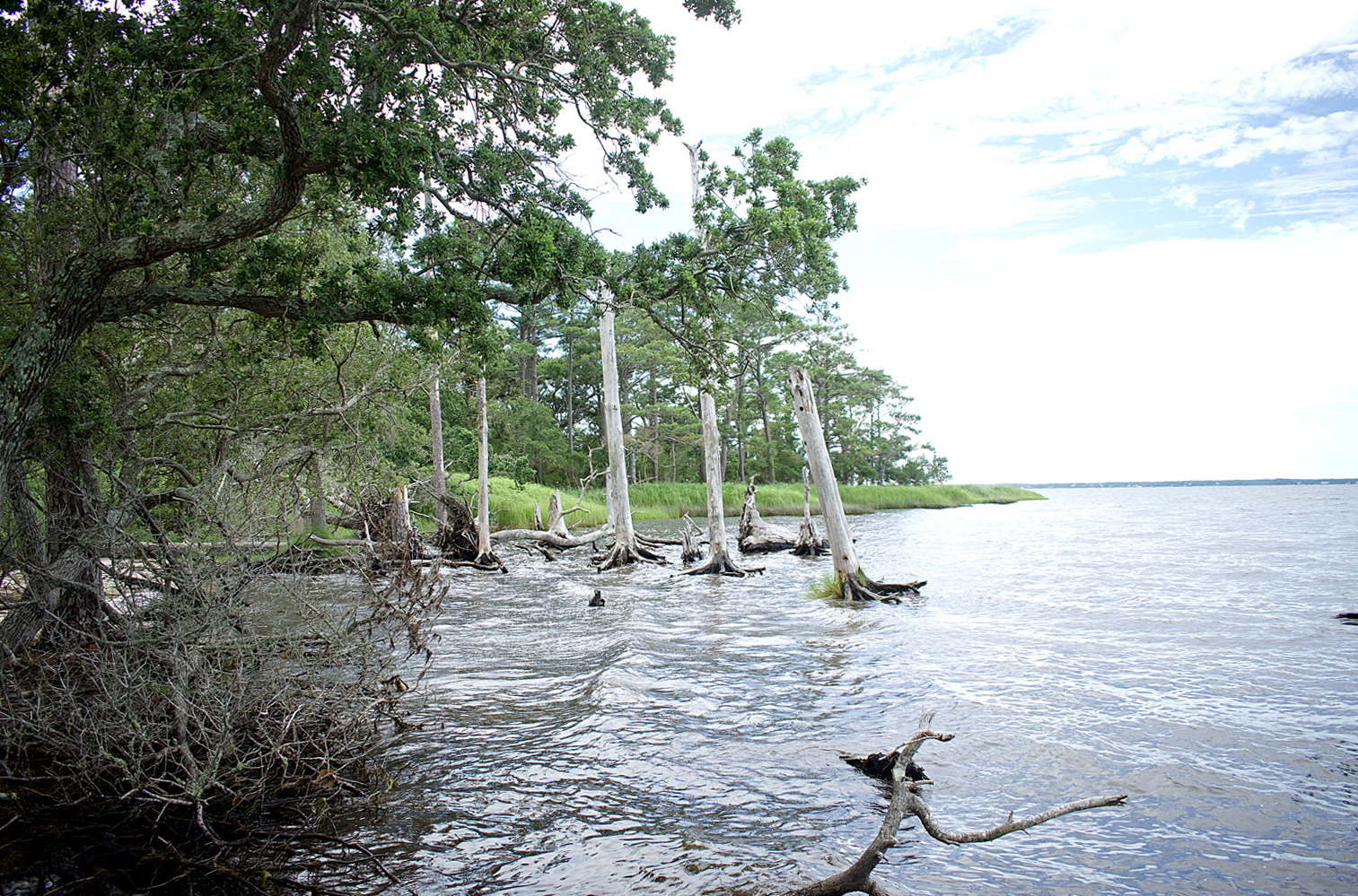
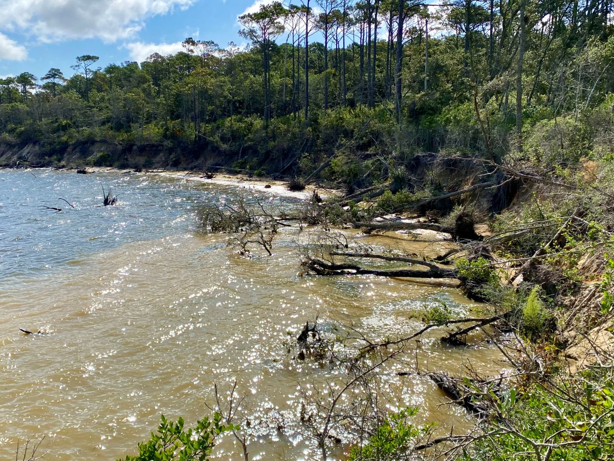
As just a tiny part of the massive Albemarle-Pamlico estuarine system — the nation’s second largest behind the Chesapeake system — Nags Head’s sound shoreline is subject to similar forces as its beachfront. Wave-action, currents and sea level rise are all factors that influence estuarine shoreline erosion and accretion, just in a sneakier, less rip-roaring way. It is not unusual, for instance, for a person to stroll along the sound one day and come back after an overnight storm to find the beach is gone, leaving only exposed roots and downed trees.
Dramatic erosion is evident along the west side of Jockey’s Ridge State Park, where the vegetated backside of the park ends along the beach that stretches north to the backside of Nags Head Woods.
On the south end of the town, the Soundside Event Site, owned by Nags Head and the Dare County Tourism Board, is wide open to the sound, but does not appear as eroded. Potentially, the plan could include constructing a boardwalk along the water, Zehner said.
“That fits in nicely with this plan,” he said. “It would be sited in a such a way that’s going to serve to protect and reinforce what we’re doing to preserve and protect the shoreline along the sound.”
Most of the year-round families in Nags Head live in subdivisions on the west side of the town, meaning on the sound side. And anyone who lives close enough to the sound knows that it can look like a bathtub in the morning, and with a shift in weather, become a raging river by afternoon. Although soundfront homes and roads are often protected from sound tide by bulkheads, rip-rap or sand-trapping groins, those measures can cause more erosion down the shoreline. For that reason, Zehner said, there has been a lot more interest from property owners in constructing living shorelines, which use natural measures such as oyster reefs and marsh to buffer wave action.
“All of this is interconnected,” he said. “We want to make sure we’re not creating missed opportunities for the town and the stakeholders.”
Once the town selects an engineering consultant — likely by May — a plan will be developed, Zehner said. If all goes as anticipated, the plan should be completed by 2022. But before then, the town will hold meetings with the public to get input and to keep everyone informed. Also, additional funds will be required to implement the plan’s action items.
A working group of stakeholders would be established to guide the consultant during the planning process, which will include a scientific analysis of the erosion rate and the suitability for natural shoreline stabilization projects. It would represent a diverse range of interests and
and backgrounds including, Nags Head staff, the Coastal Studies Institute (CSI), The Nature Conservancy, the North Carolina Coastal Federation, large estuarine shoreline property owners (Jockey’s Ridge, National Park Service, The Village Golf Course), and individual property owner representation.
The Coastal Studies Institute has volunteered to collect and analyze bathymetric data for the Roanoke Sound.
Reide Corbett, executive director of the Coastal Studies Institute, said that the institute already has numerous datasets available on estuarine shorelines that CSI digitalized from previous state research projects and survey maps. He said that CSI is willing to help as much as possible, within its budget and time restraints.
“We want the science we’re doing to always be impactful for our communities,” Corbett said.


