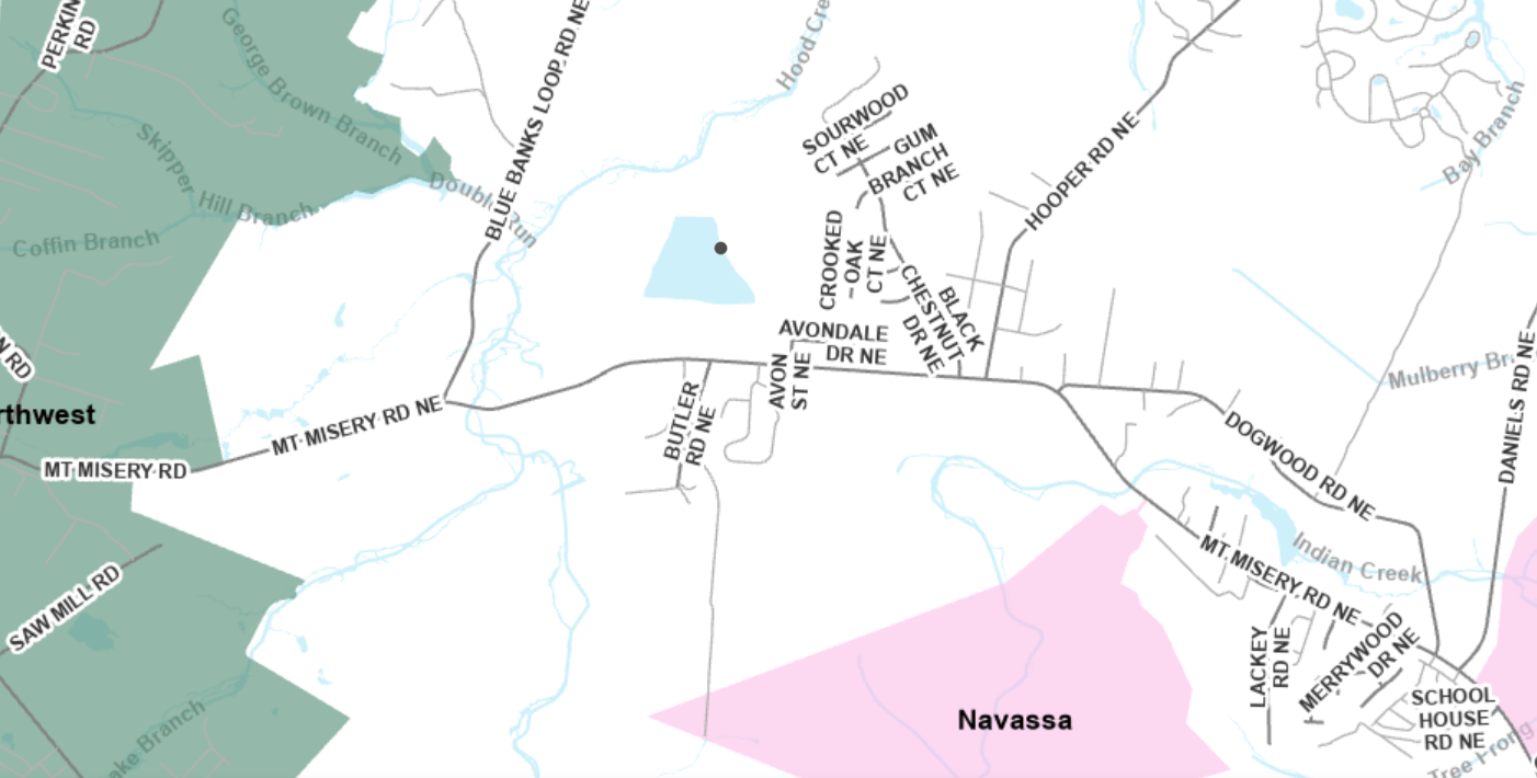
CHARLOTTE – A mapping system of North Carolina to increase outreach and public participation is being introduced Wednesday during the Secretary’s Environmental Justice and Equity Advisory Board’s fourth meeting, the Department of Environmental Quality announced Tuesday.
The meeting is from 10:30 a.m.-5 p.m. at University of North Carolina Charlotte’s Harris Alumni Center at Johnson Glen. There will be a time for public comment, which will be taken into account when modifications to the system’s next version are made. Public input gathered from community meetings and stakeholder meetings held this year was used to create the beta version of the system. The Community Mapping System will go live on Thursday and can be accessed from the DEQ website.
Supporter Spotlight
 The system will map using GIS technology facilities DEQ regulates and permits, which will be layered with census data, geographic and socioeconomic data collected by federal or academic institutions, health data provided by the the state Department of Health and Human Services and state tribal layers. The system is a complementary screening tool to the U.S. Environmental Protection Agency’s EJSCREEN. New data layers will be added as they become available.
“We are excited to unveil the Community Mapping System that will provide communities up-to-date information, and allow state regulators and economic recruiters to have better information for decisions,” said DEQ Secretary Michael Regan in a statement. “This system will provide a transparent mechanism specific to North Carolina.”
The mapping system can be used by local governments to take into account underserved, disproportionately impacted communities when making planning decisions and communities, businesses and developers can use the tool to better understand the community around them. State agencies like DEQ, can use the screening tool to help make more informed decisions and target public engagement, according to the release.
The Community Mapping System with EJ Tool is an outgrowth of a recent Title VI discussions. DEQ researched how other states and the EPA map communities of concern, and how these respective tools are used.
More information about the North Carolina Community Mapping System can be found on the website.


