In the aftermath of Hurricane Matthew, the National Oceanic and Atmospheric Administration has shared information and resources to assist those who are dealing with marine debris related to the storm.
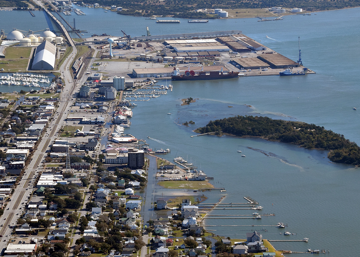
NOAA has created a map superimposed with new, high-resolution imagery for U.S. coastlines affected by the storm. This imagery was acquired by the NOAA Remote Sensing Division to support NOAA national security and emergency response requirements. In addition, it’s to be used for ongoing research efforts for testing and developing standards for airborne digital imagery. Individual images have been combined into a larger mosaic and tiled. Layers from various dates, Oct. 7-10, may be switched on and off for comparison.
Supporter Spotlight
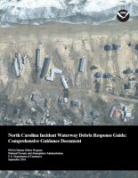
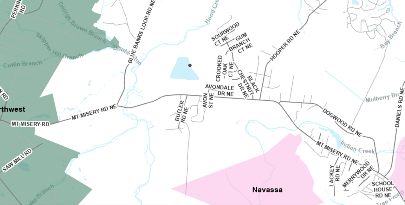
Also, NOAA’s reference for responding to marine debris, the North Carolina Incident Waterway Debris Response Guide, includes information on addressing waterway debris impacts including roles and authorities, jurisdictional maps, contact information, a response flowchart and permitting and compliance requirements.


