BALD HEAD ISLAND — Regulations that control development around the state’s ever-changing and sometimes volatile inlets are being reexamined in a new study currently underway.
The state Division of Coastal Management is undertaking a study of all inlet hazard areas, broadening one mandated by the legislature to look into establishing an “area of environmental concern” specific to the area around the opening of the Cape Fear River.
Supporter Spotlight
Areas of environmental concern, or AECs, are geographic areas in the state’s 20 coastal counties that are subject to regulations under the state’s Coastal Area Management Act, or CAMA. AECs are defined in the law as areas of natural importance and “may be easily destroyed by erosion or flooding” or have environmental, social, economic or aesthetic values important to the state. AEC’s are the foundation of the permitting program for coastal development.
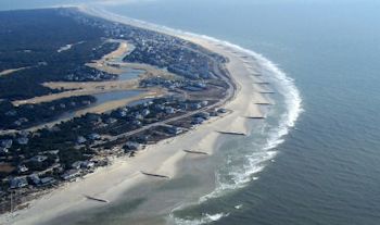 A field of 16 groins made from sand bags attempts to control erosion on Bald Head Island’s South Beach. |
Land adjacent to the mouth of the Cape Fear River and nearby beaches currently falls within overlapping AECs. The N.C. Coastal Resources Commission was directed by the state General Assembly in 2012 to examine the feasibility of creating a new AEC for the river mouth near the Village of Bald Head Island and Caswell Beach.
Days before the CRC was supposed to release its final report last month, the commission’s new chairman, Frank Gorham, called for a study of all developed inlets. The commission unanimously approved his inlet management proposal.
“There is no question the Cape Fear River inlet presents a unique set of challenges, especially due to the deep water channel and corresponding dredging required for major navigational shipping,” Gorham wrote in a letter to the CRC. “However, I am concerned with developing a unique set of rules for a specific geographic area when other inlets may have to contend with similar issues. I would therefore propose that the Commission undertake a comprehensive review of all inlet-related issues and develop an inlet management approach that incorporates the use of a variety of management tools and proactive steps to address the unique situations confronted by local governments in these dynamic areas.”
This broader study will build on Coastal Management’s review of a Cape Fear River AEC, said agency spokeswoman Michele Walker.
Supporter Spotlight
“The CRC didn’t want to go down the path of making one specific, unique AEC for this one area,” she said. “Instead, they said let’s look at all of the inlets because they all have similar issues. It’s not to say they won’t be taking some of the recommendations for the AEC and broadening it out to other inlet areas.”
The study will consider new development standards, revising existing ones and looking at historic inlet management techniques. It will also include an ongoing evaluation of the state’s inlet hazard areas as well as look at the permitting process for inlet dredging projects.
“We’re going to be looking at everything,” Walker said.
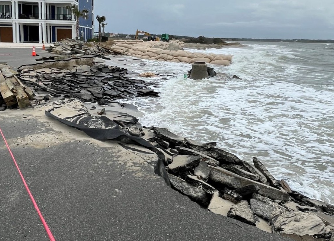
Bald Head officials have been pushing for rule changes, particularly ones that pertain to erosion control structures, such as small jetties called terminal groins. They argue that the mouth of the Cape Fear River is unique because it is deep, unlike the shallow draft inlets traversing North Carolina’s coast.
Village officials want to be able to use a wider variety of erosion control methods, including rock groins, terminal structures, breakwaters, jetties, sandbags and beach sand replacement projects to mitigate channel-induced erosion. They have proposed the creation of a new Cape Fear AEC that will exclude estuarine creek areas and exempt the area from “limitations on erosion control structures.”
 Harry Simmons |
The village wants sandbags automatically allowed within 20 feet of a structure’s foundation and temporary structures to be allowed to stay in place indefinitely.
“Bald Head is kind of a weird mix because we have ocean areas, we have inlet water areas, we have a federal navigation channel and we have shallow waters and a lot of the rules were written for any one of those areas,” said Karen Ellison, the villages’ director of communications. “Sometimes those rules really counter each other. We just want more flexibility so that we can respond appropriately in an emergency situation. We have the highest level of interest in protecting this island.”
Bald Head is currently pursing permits to build a terminal groin. Officials hope construction on that project begins around this time next year, said Chris McCall, Bald Head’s shoreline protection manager.
“Our primary focus is working on that process,” he said.
The village also wants to convert a series of soft, sand-filled tubes being used as erosion mitigation into hardened rock structures, a method currently prohibited under current regulations.
The CRC’s decision to delay a recommendation on a Cape Fear AEC “puts a hold in the process for us,” McCall said. Village officials are particularly concerned about having to abide by the existing rules through another hurricane season.
“We would have preferred that action be taken on the draft AEC rather than the commission now wanting to include an inlet management study,” McCall said. “I understand they did what they felt was right at that point in time. For those people who live here year-round it’s crucial for us to manage our shoreline so that it’s here for people to enjoy.”
Establishment of a new AEC for the Cape Fear River is not as a big of a concern for Caswell Beach, according to Mayor Harry Simmons, who is also a CRC member.
“I think the reality is that Caswell Beach isn’t going to benefit nearly as much as Bald Head will,” he said. “There are some things in there that we would like to see but they’re not that time sensitive. We didn’t seek this. We were participating. I think a broader look is going to be a good thing. It needs a fresh look.”
The village and town do not agree on the boundaries of a new AEC. Bald Head Island officials believe the AEC boundary should be limited along the shoreline above the mean high water mark. The town suggests the boundary include nearshore shoals and the navigation channel.
A final draft and recommendations that will include any proposed AEC boundaries by coastal management will be submitted to the commission by July 31.
The CRC will submit its findings to the legislature by Dec. 31.
Coastal Management officials will soon hold the first of four regional hearings to be conducted by April 30, Walker said. The agency has not yet established a schedule of those hearings.

