While boaters, beachgoers and coastal North Carolinians alike are familiar with the state’s well-trafficked waterways at the mouth of the Cape Fear River, there’s a less famous inlet with a unique name and the history to match.
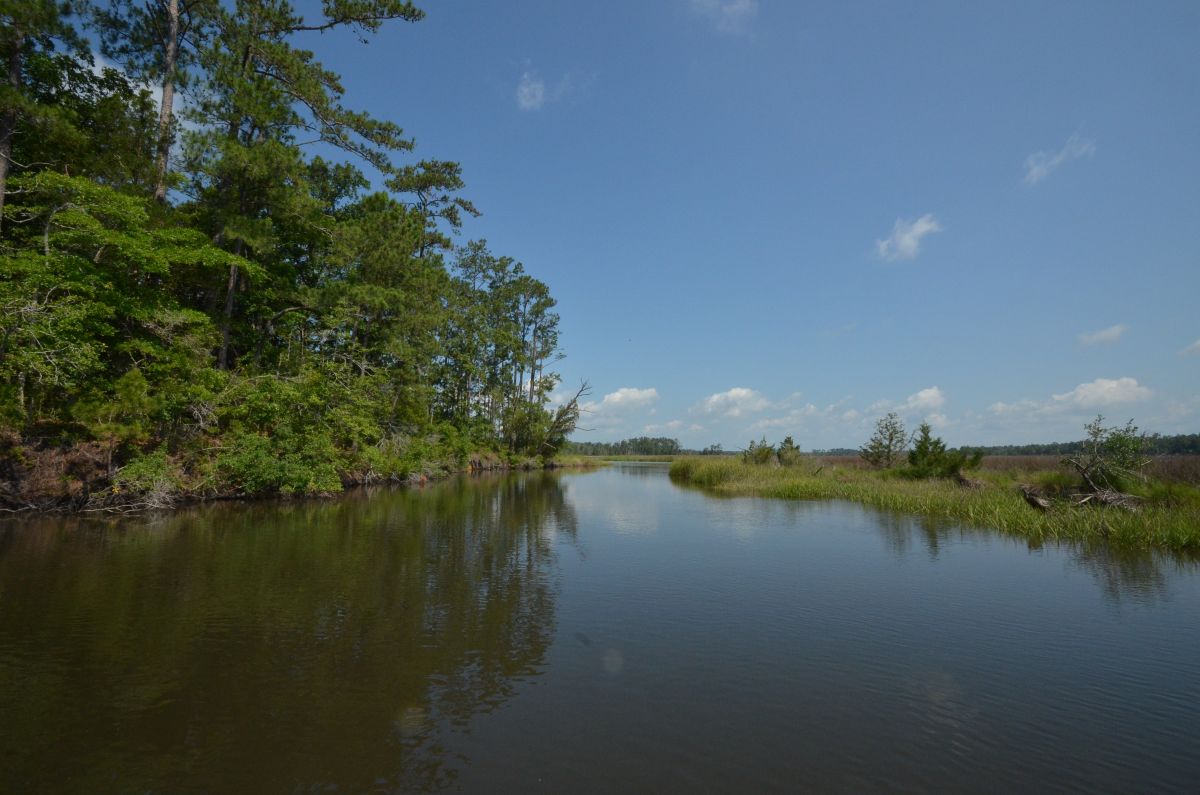
Lockwood Folly Inlet separates present-day Oak Island and Holden Beach. It is the endpoint of Lockwood Folly River, a 25-mile-long waterway that flows through central and southern Brunswick County before emptying into the inlet.
Supporter Spotlight

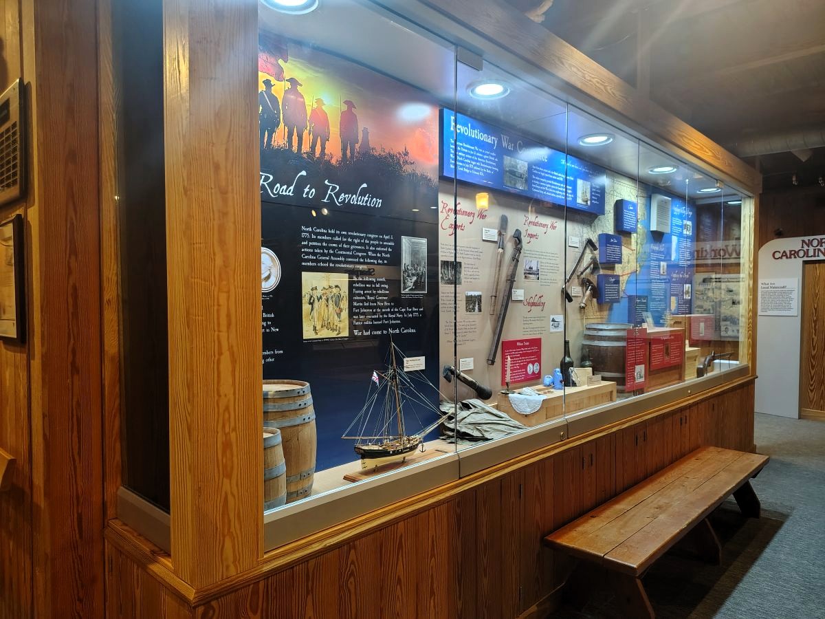
In addition to being a productive outlet for boaters and fishermen, Lockwood Folly Inlet is a historical curiosity. Its location and name shed light on a period of North Carolina history overshadowed by the Lost Colony when 117 English settlers disappeared from Roanoke Island in the late 1580s, or the Albemarle settlements.
The name of Lockwood Folly Inlet dates back to the 17th century to a mostly forgotten episode during the settlement of North Carolina. That episode, if successful, would have directly changed the fate of the colony and cured it of the “general economic backwardness,” according to historian Hugh Lefler, that defined its colonial reputation.
Though Lockwood Folly Inlet is one of the more stable — its size and surrounding sandbars shift regularly — at only around 100 feet wide and sometimes only a few feet deep, the inlet doesn’t allow for sizable ships.
As a result, it has not been the site of significant development over the past four centuries. The inlet was never a proposed site for a major dredging project or a new town like Beaufort or Roanoke.
This limited development has likely been a reason why the inlet has kept its unique name for centuries. Much of the speculation about the inlet’s name has focused on the titular “folly” involved.
Supporter Spotlight

One early theory was that the “folly” was a boat built so large that it could not sail out of the river. Louis T. Moore argued in a 1948 article for The State magazine, now known as Our State, that the name instead came from an attempted settlement or house by a man named Lockwood in the 18th century.
Moore said that the homestead was destroyed by Native Americans he mistreated. As the author described, the “folly” resulted when “a man unable to control his temper or passions later was punished by being driven from the place he intended as his home.”
While writers have worked hard to explain the second half of the inlet’s name, they have done much less to figure out the first half. Few people have researched who Lockwood actually was. Who was the man who built the ship that could not sail, or who made the failed settlement?
In order to solve that mystery, one must go back to the earliest attempts to settle North Carolina, several of which have been almost lost to history.
Moore posited that Lockwood Folly received its name in the early to mid-18th century, with Lockwood likely being a settler during that time.
That period would have been after the 1720s when James Moore and his family first settled the Cape Fear River.
The 1720s was the traditional start of European settlement in that area, the time when North Carolinians discovered the Cape Fear as a productive outlet to the ocean and began establishing some of their largest towns on it.
Seeming to confirm this theory is the presence of Lockwood Folly on maps as early as the Edward Moseley map of 1733. Moseley held political appointments between 1715 and 1749. But Lockwood Folly is not just on the Moseley map, it is also on the Herman Moll map of 1708 and William Fisher’s “New Mapp of Carolina” dated to 1698. Both Moll and Fisher were London, England, mapmakers.
The earliest map that contains a place named Lockwood Folly is the Ogilby map from around 1671. Taken from an influential book on the Americas published by British author John Ogilby, the map, “A new discription of Carolina by the order of the Lords Proprietors,” was drawn decades before North Carolina’s first incorporated town and less than 10 years after the Lords Proprietor first received their Carolinas grant in 1663. It was one of the first maps drawn that focused primarily on North Carolina after the Lost Colony.
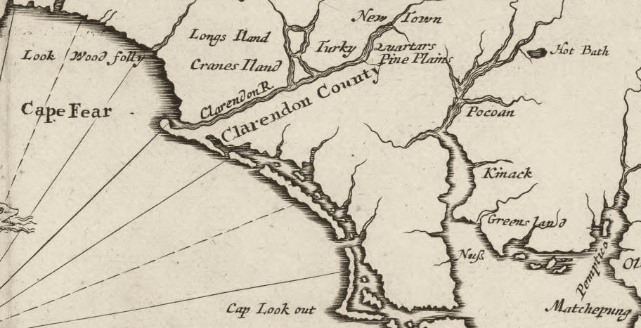
Given many of the other details on this map, the most likely explanation for Lockwood Folly is that it was named after a man who was part of one of two lost British colonies of the Cape Fear area.
The first, founded by explorer and Hilton Head’s namesake William Hilton, was settled by Puritans from New England in 1663. After the Puritans quickly abandoned the area, a somewhat more successful colony was formed by Barbadians led by the Yeamans and Vassall families.
This Cape Fear colony, identified by historian Lindley Butler as “the first English town in the Carolina propriety,” included enslaved people from Africa and committed to producing food and goods to support Barbados. The colony lasted only three years before Native American attacks, a lack of supplies, and disasters in England led to its abandonment.
Lockwood was not a known member of either the colonies or the initial William Hilton expedition. But of the dozen or so Cape Fear area names on the Ogilby map, several were from the Hilton and Yeamans expeditions.
One of these was a region labeled Long’s Delight, likely named after Capt. Anthony Long, a leader of the Hilton expedition. Another was Turkey Quarters, an area noted by the Barbadians for its large number of turkeys.
The Barbadian connection with Lockwood is bolstered by a story from James Sprunt’s influential 1914 book, “Chronicles of the Cape Fear River,” which combined historical narrative with local legends and stories.
In one section, Sprunt, inspired by a 1734 travelogue, wrote of the inlet’s name, “One Lockwood, from Barbados, however, made a settlement farther to the south [of another proposed settlement up the Cape Fear], which the Indians destroyed, and hence the name to this day of ‘Lockwood’s Folly.’”
While we may never know exactly who Lockwood was, the Barbadian lineage in Sprunt’s tale would appear to corroborate the theory that he may have been part of the Barbadian colony.
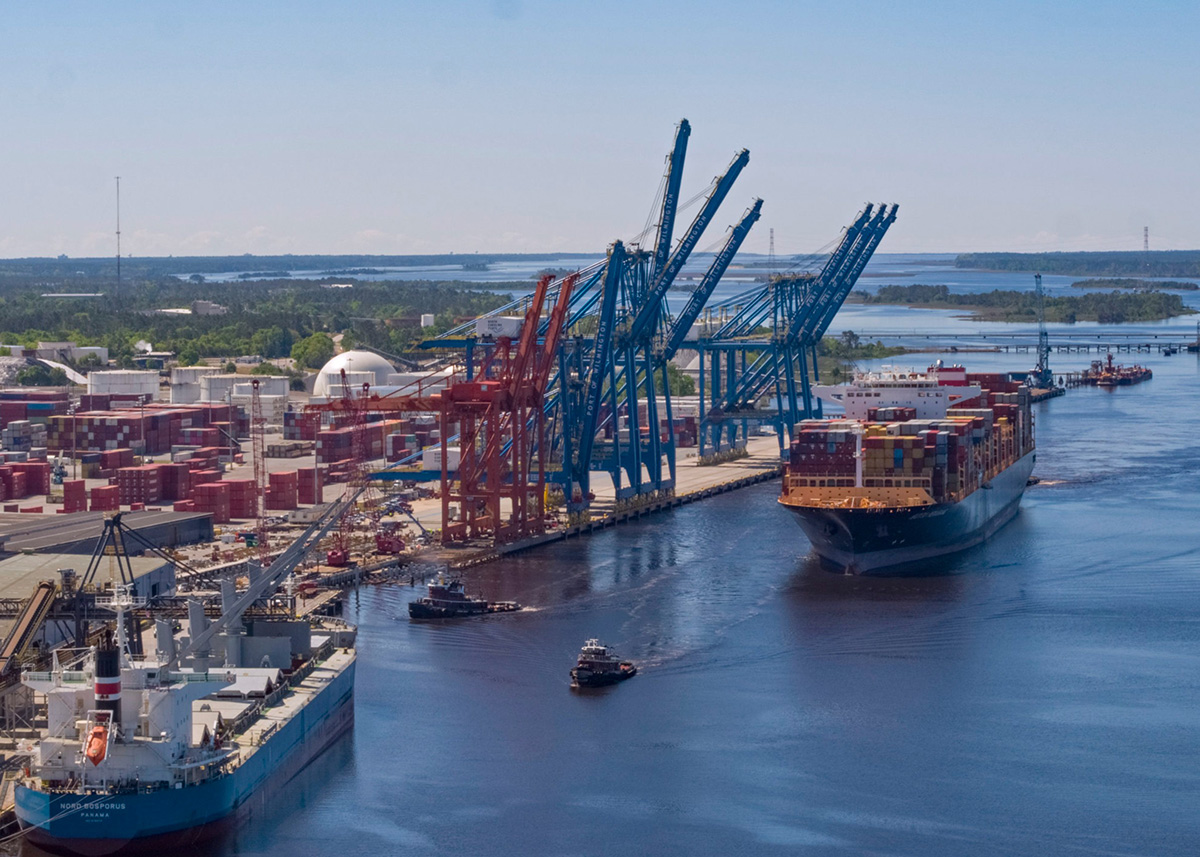
The early settlement of the Cape Fear River is a fascinating what-if in North Carolina history. Cape Fear is a more stable and hospitable inlet to shipping than those by the Albemarle Sound.
It might have quickly fostered towns like Beaufort in South Carolina or Norfolk in Virginia.
Instead of existing for 50 years as an almost-forgotten backwater, North Carolina might have grown faster and with a more refined air had it been originally settled at Cape Fear.
Along with Rocky Point, Lockwood Folly Inlet is one of the two last remnants on a North Carolina map of the Hilton and Yeamans colonies. Other names like Long’s Delight have disappeared from use and have no modern equivalent, illustrating the forgotten nature of the 1660s Cape Fear expeditions.