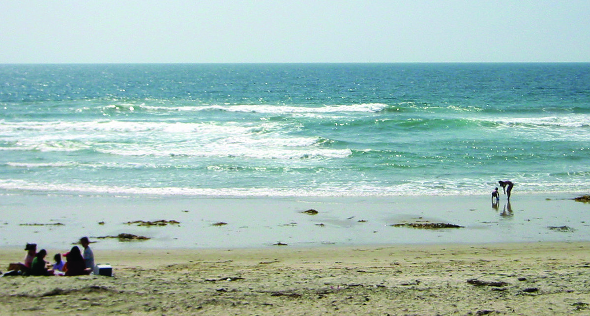
NAGS HEAD — Not unlike getting a vehicle tune-up before a risky cross-country trip, emergency responders and weather officials are reinforcing the messaging about ocean safety as hundreds of thousands of beach lovers head to the coast for the July Fourth holiday.
“In the Carolinas, rip currents are our biggest killer,” said Erik Heden, warning coordination meteorologist with the National Weather Service’s Newport/Morehead City office. Heden was speaking Thursday at the 2024 Eastern Carolinas Beach Hazards and Rip Currents Integrated Warning Team event held at Jennette’s Pier.
Supporter Spotlight
In addition to representatives from the National Weather Service, the team included input from local emergency and public safety officials and ocean rescue personnel, as well as government communication representatives to discuss current and future beach safety issues.
Since 2000, there have been 184 victims of rip current drownings in the Carolinas, 49% of whom were out-of-state residents, Heden said. Of them, 86% were male, most of them aged 41 to 50. Female victims were mostly between 31 and 40 years old.
“That’s four times the number of deaths from tornados, floods and wind combined,” Heden said.
The data didn’t include those who were caught in rips but their deaths were attributed to an associated cause such as a heart attack, he added. About 100 fatalities annually in the U.S. are estimated from rip currents, and as much as 80% of all ocean rescues are rip current-related.
But fortunately, there has been a lot of progress made in preventing the loss of life from rips, mostly by educating the public of the hazard, and by providing better tools to avoid the risk.
Supporter Spotlight
To stretch the road trip metaphor, staying safe can come down to commonsense measures such as checking road conditions and the weather report. Going to the ocean should be no different.
“Before we even get to the beach,” Heden said, “let’s talk about knowing some things.”
Those “things” include questions such as: Where are lifeguarded beaches? What are conditions that day at the beach location? Do you need a floatation device? What is the rip current risk?
Awareness can not only prevent drowning, it can also mean not having to be saved by lifeguards.
Recently, numerous news outlets reported that more than 150 beachgoers in New Hanover and Carteret counties and more than 80 at Carolina Beach alone were rescued from rip currents, which are channels of water typically formed at breaks in sand bars and that flow away from the beach.
People can sign up for alerts on beach conditions and daily rip current risks at North Carolina beaches from the National Weather Service. Dare County also offers a service that provides alerts from Dare County lifeguards about local beaches.
Beachgoers also need to know about other hazards that include lightning, another big weather-related killer. Leave the beach immediately if you hear thunder. Lightning strikes can happen when a storm is as far as 10 miles away. Several strikes on the Outer Banks have happened when people were in the parking lot after exiting the beach.
Other risks ocean swimmers need to be aware of is shore break, that is, when a wave breaks forcefully in shallow water, and rogue waves that seemingly come out of nowhere and can throw a person into the surf.
“They can be deceptive and you don’t see them coming,” Hatteras Island Rescue Squad Supervisor Molly Greenwood said at a press briefing. “Never turn your back to the ocean.”
Even something as seemingly harmless as walking on the sand is dangerous when temperatures are high and the sun is strong. Ben Abe with Chicamacomico Banks Volunteer Fire Department water rescue said that one man suffered second-degree burns on the bottom of his feet from going barefoot on the beach and had to be transported to the hospital.
In recent years, the National Weather Service has produced numerous informational videos and pamphlets about beach safety that are available through its website, including the award-winning “Play it Safe” series.
The public information is geared to a fifth-grade education level, so it’s readily accessible for school-aged children, Heden said.
“We do a tremendous amount of public education,” he added.
Two important new infographics are focused on hazards that are related to rip currents, but had often been overlooked in risk assessments.
One provides advice to bystanders who want to help swimmers caught in a rip current or are struggling in the ocean, with a warning to call for help but not to enter the ocean without a floatation device.
According to the weather service, nearly 30% of rip current drownings in the Carolinas since 2011 were bystanders trying to save another person.
The other graphic illustrates the risk that far-offshore tropical storms create by intensifying the strength of currents, with a West Coast and East Coast version. Several videos and graphics are also offered in Spanish.
The weather service beach forecast webpage will soon be transformed into a GIS-based platform, compatible with mobile devices, said Melinda Bailey, NWS National Marine Services program manager, who attended the event remotely.
Web-based users will not have to download any proprietary software to access the platform, which is expected to be implemented by fall 2024, she added.
“It’s a long time coming but it’s very exciting,” Bailey said.
Bailey said the weather service has been working on predictive artificial intelligence models to improve accuracy of information on rip currents and other forecasting.
Heden said that he looks forward to continued progress in beach safety through advancement in communication and predictive modeling tools, including cutting edge technology.
“I’m intrigued by the virtual reality stuff,” he said. “It would be interesting to incorporate that.”


