Coastal Review features the work of North Carolina historian David Cecelski, who writes about the history, culture and politics of the North Carolina coast.
***
Supporter Spotlight
Note from the author: I have written this as kind of an online history exhibit. The story starts with a short introduction, then features more than 40 annotated photographs and other images illustrating the last decades of an ancient swamp forest that was once located on the North Carolina coast.
***
For quite some time, I have been collecting historical photographs, maps, and manuscripts that document the lumber boomtowns and logging camps of the Pungo River and its hinterlands in the late 19th century and the early part of the 20th century.
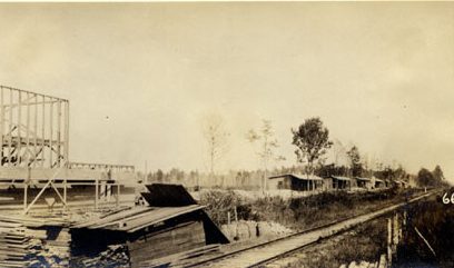
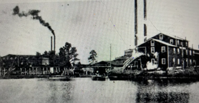
After the Civil War, lumber companies bought thousands of square miles of forestlands on the North Carolina coast. As if out of nowhere, scores of lumber mill towns sprang up virtually overnight (only to vanish, most of them, when the forest was gone).
The lumber companies reshaped the land, our most important towns, and even some of our most remote islands.
Supporter Spotlight

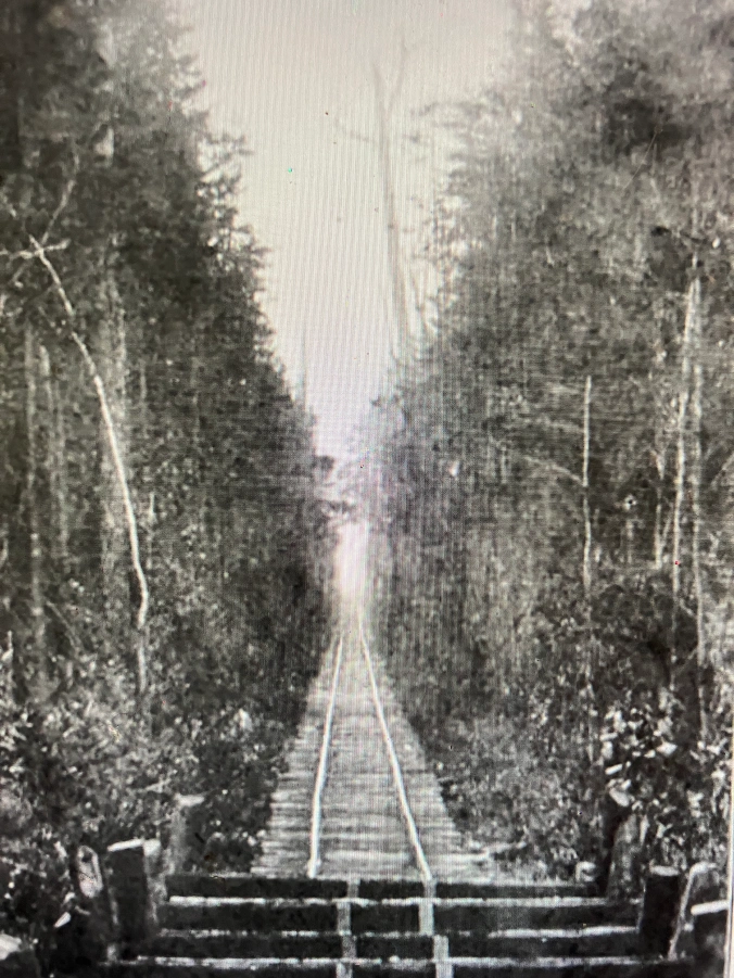
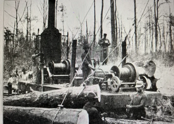
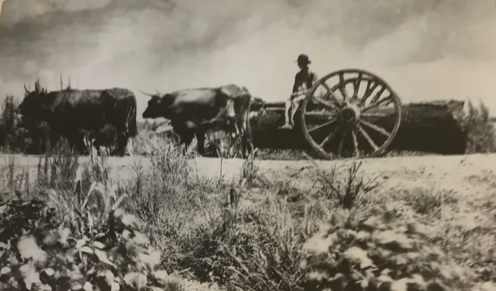
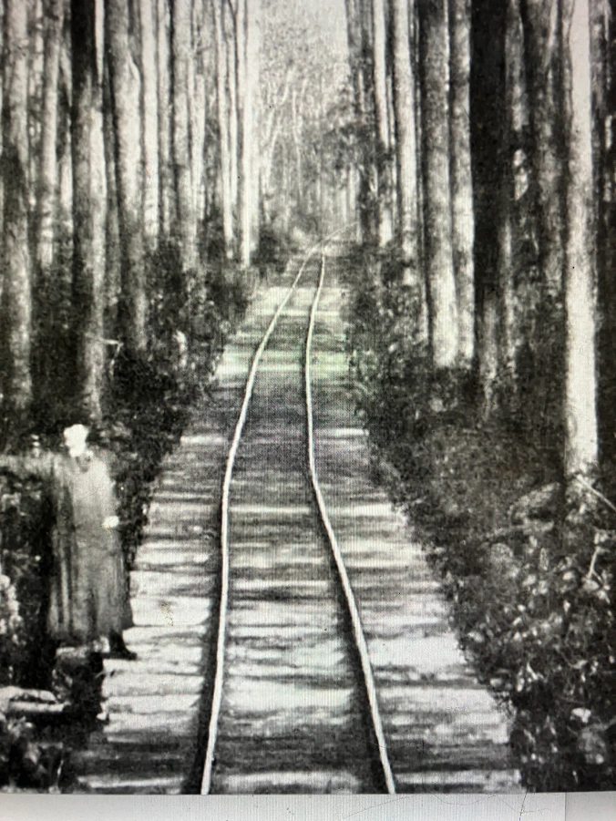
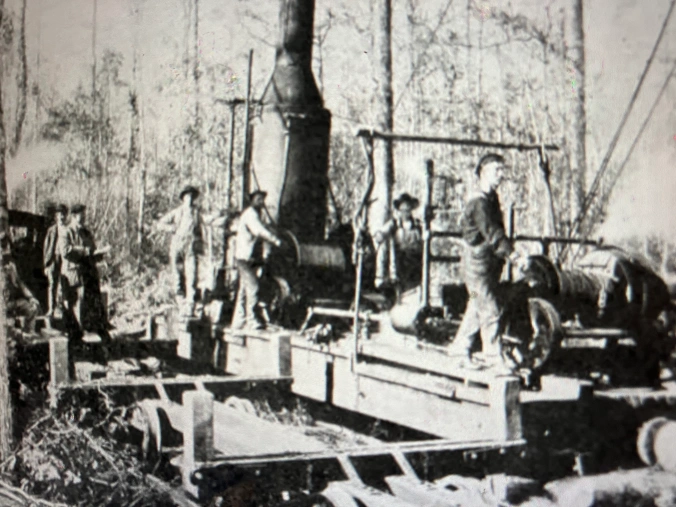
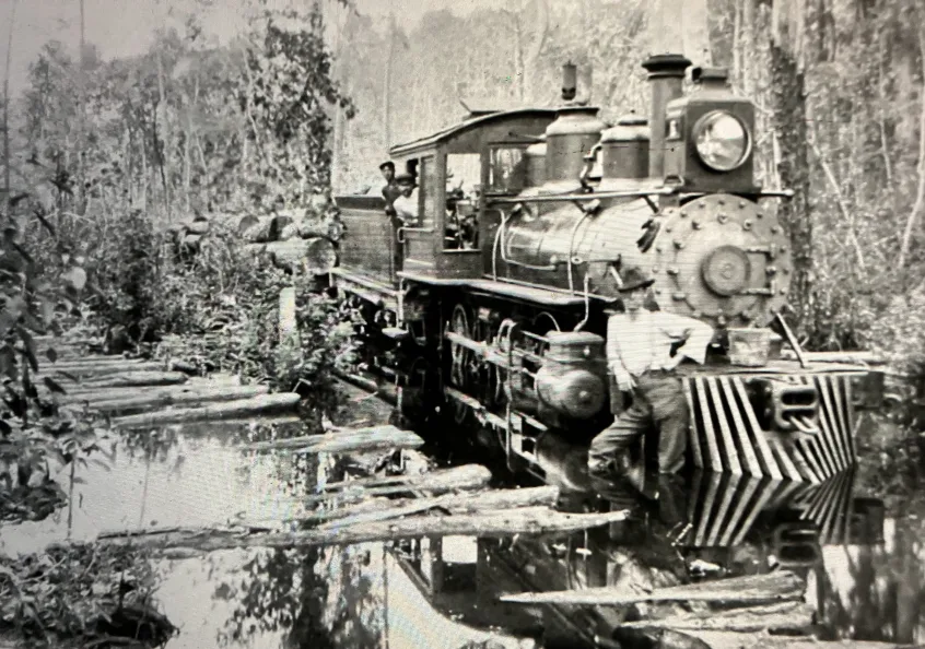
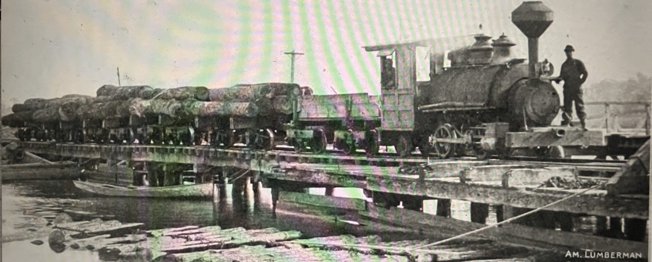
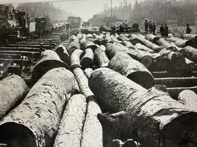
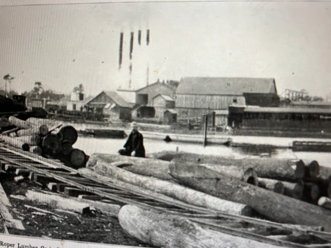
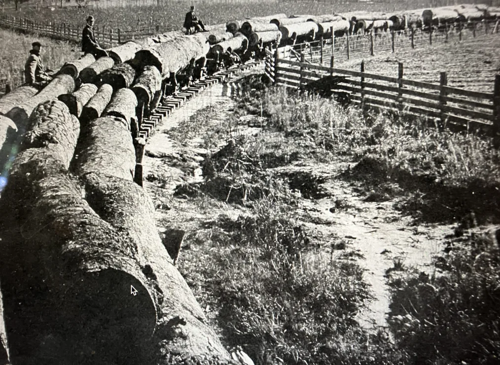
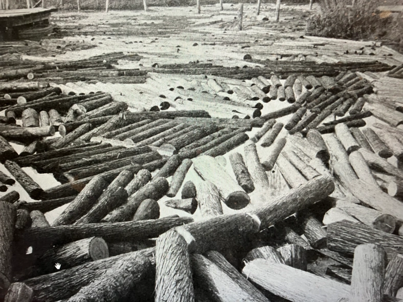
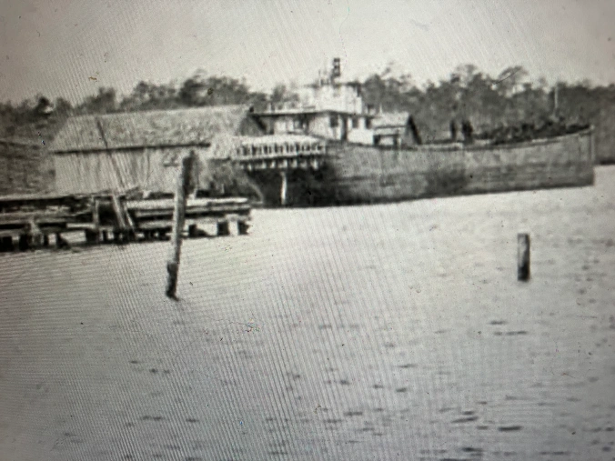
Logging camps seemed to be everywhere. Hundreds, maybe thousands, of miles of railroads were built to move logging machinery into even the most remote swamp forests, to haul logs to mills, and to carry lumber after it was milled to northern seaports.
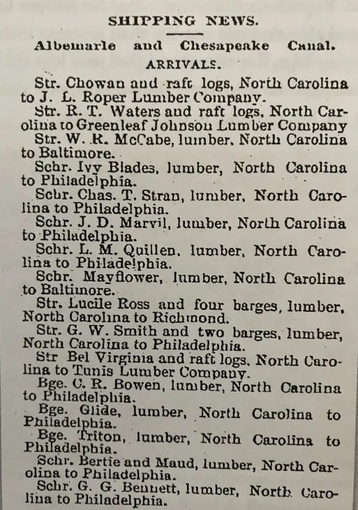
Canals were built to drain swamp forests. Lumber barges and schooners crowded local waterways.
For the sake of building America, coastal forests that had stood for centuries, and sometimes millennia, vanished.
I do not know to what I can compare that part of North Carolina’s coastal history. It was a frontier world, often almost lawless, dangerous, destructive, and, for some, liberating, all at once.
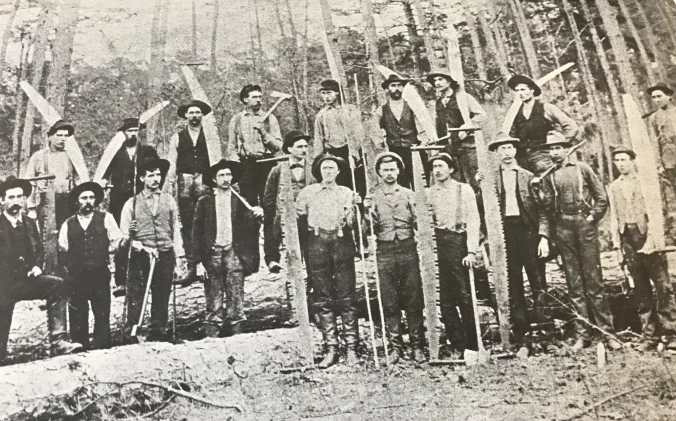
Thousands of people left farms and fishing boats and their old lives to make a go of it in the mills and logwoods.
And they came from all over, not just from local towns and villages, but Appalachian hollows, Great Lakes logging camps, and New York City tenement houses.
They included men and women with the scars of slavery still on their backs, Outer Banks fishing families, and immigrants fresh from Ellis Island, many of them speaking barely a word of English — all made their way to the lumber mill towns and logging camps.
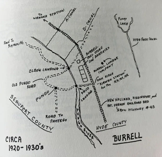
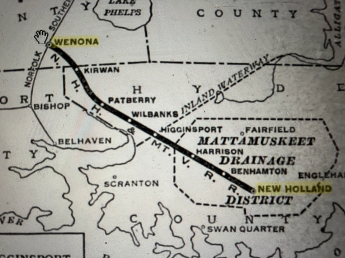
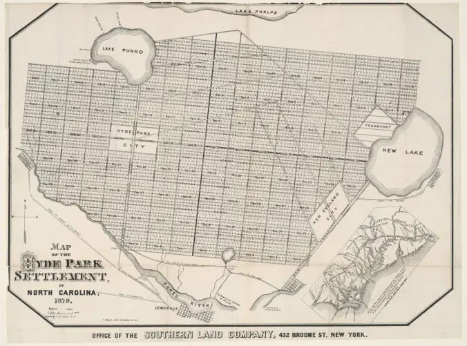
In this collection of historical images today, I am focusing on the lumber boom in just one corner of the North Carolina coast, the Pungo and the forests within about 15 miles of its shores.
But I hope that by so doing, we can at least get a glimpse of the size and scale of the lumber boom throughout the North Carolina coast, what it was like for the people who lived through it, and how it transformed our communities, as well as our land and waters.
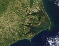
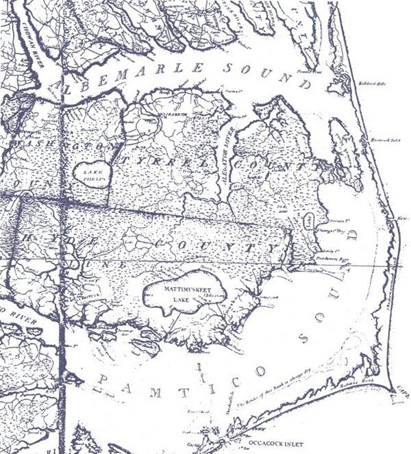
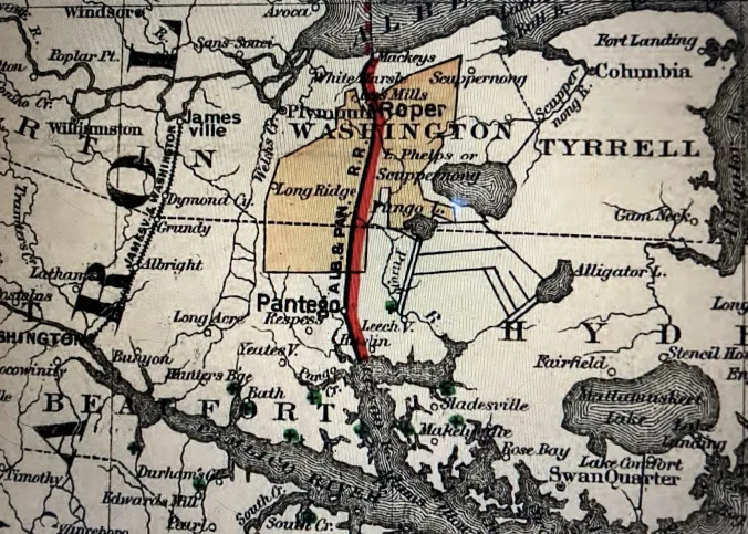
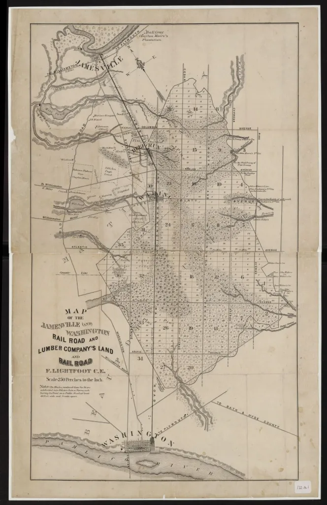
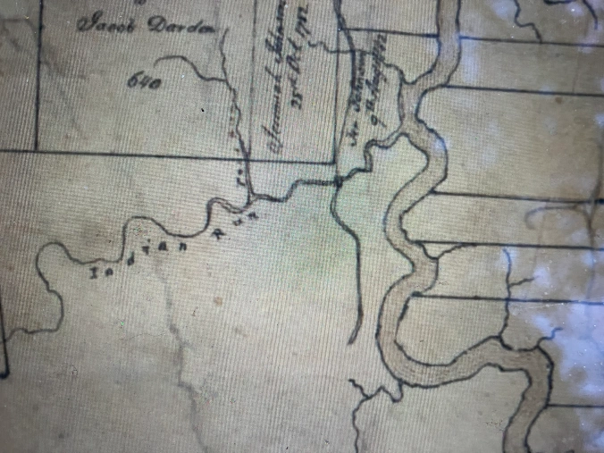
Rising in the central part of Washington County, in the remnants of what local people today often call the “Big Swamp,” the Pungo, an Algonquin Indian word, is only 35 miles long.
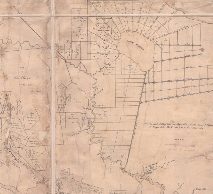
In its northernmost reaches, the river flows today through a canal that was dug in the 1950s to drain the farmlands west of Pungo Lake and what is now the Pocosin Lakes National Wildlife Refuge.
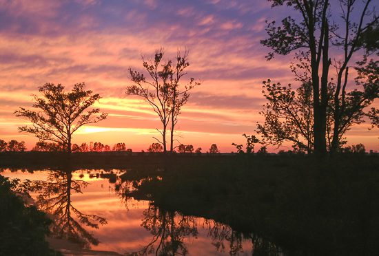
But then the river grows wild again. It meanders south, passing along breathtakingly beautiful cane brakes and marshlands until it opens up into a broad bay, an estuary really, that eventually folds itself into the Pamlico River and the Pamlico Sound.
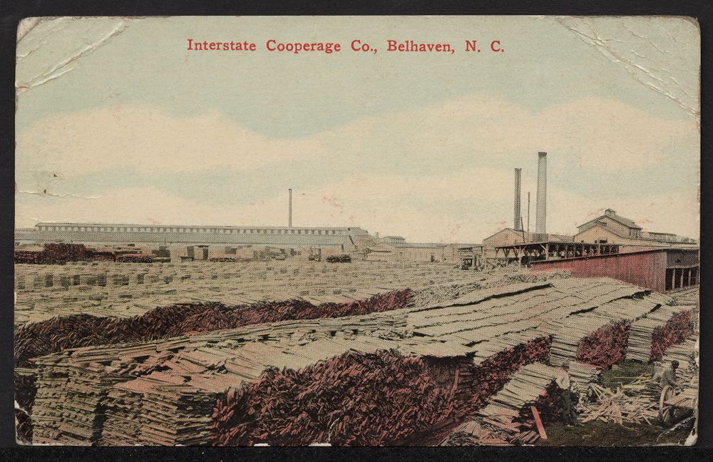
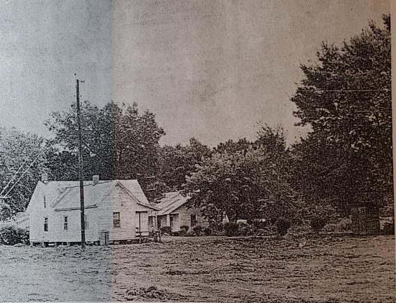
Today it is a quiet, peaceful place. Belhaven, the only town on the river, has a population of less than 1,500. Pantego (another Algonquin name), the only town on any of the river’s tributaries, has maybe a few more than 200 residents.
It is a place of rural byways and little crossroads: when you leave Belhaven, you can go 25 miles in any direction — east, west, north, or south — and never hit a stoplight.
But as you will see here, the Pungo was once a very different place.
As you look through these old photographs and yellowed maps, please know that I am, as people sometimes say, a “lifetime learner.” I would always welcome hearing from anyone who might know more about any of these images.
In studying the Pungo’s lumber boom, one thing is very clear to me though: whatever other stories I tell, anything I write will also be an elegy. It just has to be.
The Pungo River was once the heart of one of America’s great natural wonders. When you left the river’s shores, you entered a vast wilderness, a swamp forest that covered hundreds of square miles and was so large and so foreboding that it had long been a refuge for the local Algonquin people, fugitive slaves, and other outcasts.
For those who care about our natural heritage, it was a marvel: the East Dismal Swamp, as I am going to call it, was home to ancient and majestic groves of bald cypress, some of the country’s largest stands of Atlantic white cedar (juniper), and pocosin wetlands of a size and grandeur found in few other places on Earth.
But especially between 1880 and 1920, the logging companies and land developers did not just log the Pungo’s old-growth forests: they erased them.
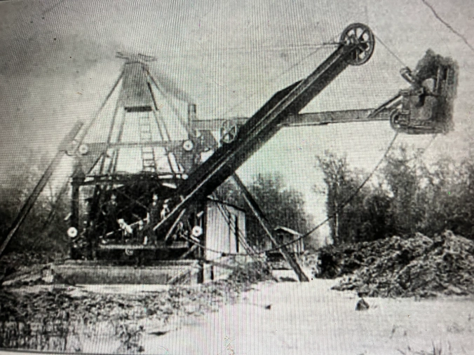
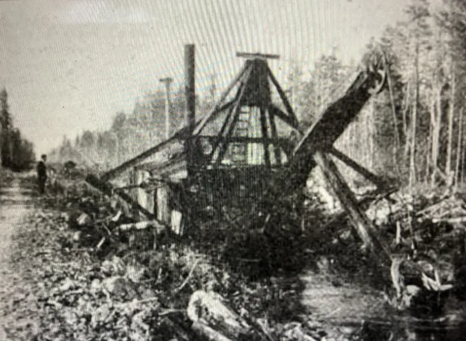
Using railroads and new kinds of machinery, they logged even the most remote corners of the East Dismal. Then, especially in the pocosins, they dug great canals and vast networks of ditches to drain the land. When the peat soils dried out, they then burned what was left of the forest and the peat beds again and again.
They did that until the East Dismal Swamp — or whatever you want to call that great swamp wilderness — was gone.
If you visit the site of the East Dismal today, you will find only a broad, open plain and seeming endless farm fields, stretching, in many places almost treeless, as far as the eye can see.
You might think that you were in Kansas or Nebraska, if it were not for the miles and miles of canals and ditches.
History is for me, when all is said and done, about remembrance and recalling the ancestors.
And through them, coming to know ourselves.
But there are also times when I think that we should remember lost places, out of respect for them and maybe for our own good, too. I think that this is one of those times.
-1-
-2-
-3-
-4-
-5-
-6-
-7-
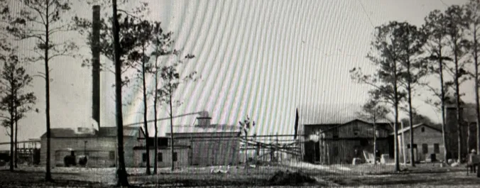
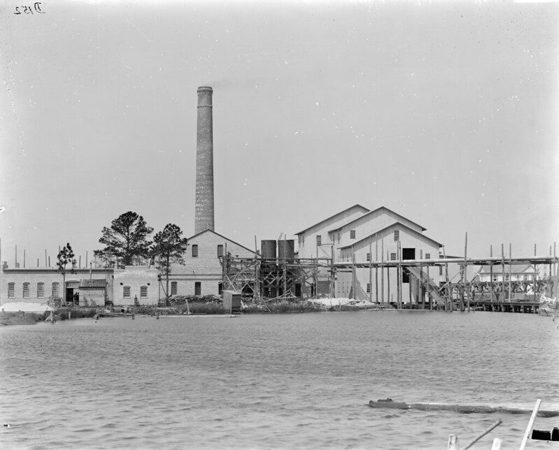
![According to the Raleigh News & Observer (28 August 1910), the process that John A. and Samuel Wilkinson used to turn old-growth swamp forests into farmland had been used on a much smaller scale in the East Dismal since before the Civil War. The N&O’s correspondent wrote: “Here for 75 years the people have removed the merchantable timber, cut down the remainder of the growth in the summer and fall and left it to dry out until early spring…. [They then] set fire to it so that a terrible fire has destroyed it all, leaving over the rich earth a mass of ashes and such charred poles and stumps as would soon decay….” The fires were great conflagrations: most of the East Dismal was a pocosin, a kind of raised peat bog, and the peat, used as a fuel in many parts of the world, was sometimes as much as 10-12 feet in depth. When drained, the upper layers of the peat dried out and grew especially combustible, leading to fires of almost unimaginable fury and environmental devastation– and capable of burning, in some cases, for months. While adopting a long-standing practice, the Wilkinsons applied that method of swamp reclamation on a much larger scale by introducing the use of steam dredges, massive canal digging projects, railroads, and mechanical logging equipment. “Day and night their labors and the labors of hundreds of employees, three locomotives, two dredges and five skidding machines have been wiping out the forest and transforming the great Albemarle swamp….” The not-very-good photo above (from the same issue of the N&O) shows one of the canals that their dredges dug through the swamp.](https://coastalreview.org/wp-content/uploads/2023/11/swamp-forest.webp)
-8-
![African American workers in the East Dismal, ca. 1910. They were preparing to plant “stick corn” near Wonderland, the labor camp at Potter Farms. In July 1918, a journal called Cut-Over Lands (vol. 1, #4) described how the Wilkinson brothers used the planting of stick corn at two locales near the Pungo River– Potter Farms and Terra Ceia– as the final step in converting the swamp forest into agricultural fields: “About May 1st, after the cutting [of the forest], the entire area is burned over, the fire consuming all small stuff and partially consuming the larger logs and stumps. Immediately after the burn, corn is planted among the logs and stumps by the “stuck corn” method, without plowing. The work is done chiefly by negro men and women and consists of dropping the seed in a hole made with a small stick…. Native labor (chiefly colored men and women) gather the corn in the fall and bring it to the ditch banks, from which it is carted to the cribs. After the corn is gathered, the stalks are cut down, and about May 1st of the following year– the stalks serving as kindling– the land is again burned over, further consuming the logs and stumps which have had a year’s drying since the first burn. The consumption of the stumps is facilitated by the fact that the soil in settling after the removal of the water through the ditches, draws away from the upper portions of the roots, permitting the fire to attack them and work under the main portions of the stumps. After the removal of the second or third crop . . ., the remaining sticks and portions of logs and root snags are piled and burned.”](https://coastalreview.org/wp-content/uploads/2023/11/workers-in-east-dismal.webp)
-9-
-11-
-12-
-13-
-14-
-15-
-16-
-17-
-18-
-19-
-20-
-21-
-22-
-23-
-24-
-25-
-26-
-27-
-28-
-29-
-30-
-31-
-32-
-33-
-34-
-35-
-36-
-37-
-38-
-39-
-40-
-41-

-42-
-43-
-44-
***
Cecelski shares on his website essays and lectures he has written about the state’s coast as well as brings readers along on his search for the lost stories of our coastal past in the museums, libraries and archives he visits in the U.S. and across the globe.