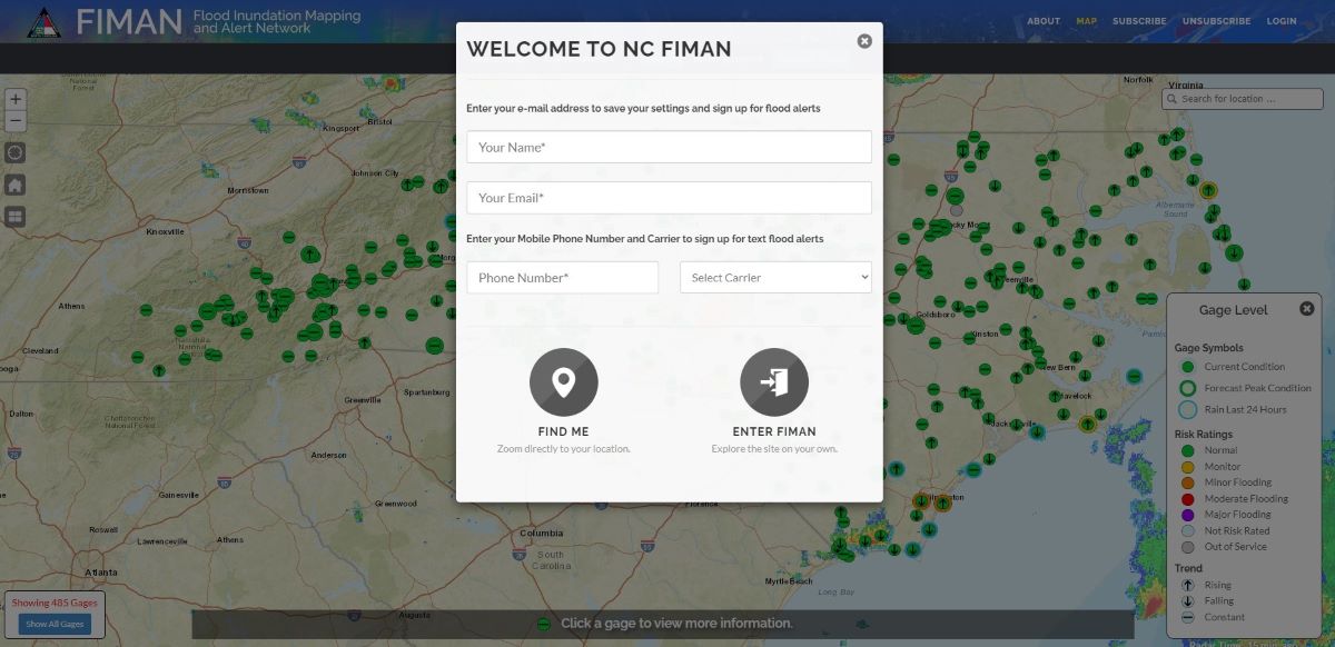
A series of Flood Inundation Mapping and Alert Network, or FIMAN, flood gauges have been installed throughout Dare County, and across the state to provide critical and real-time information regarding changing water levels in specific geographic locations, according to North Carolina Emergency Management officials.
The FIMAN website provides real-time data on stream elevation, rainfall and weather parameters from more than 550 gauges across the state.
Supporter Spotlight
To sign up to receive text alerts if water levels begin to rise due to storm surge, visit the Rain, Stream, Weather and Flooding Risk Information website.
Dare County has released a video showing how to sign up for these alerts. For more information, visit DareNC.gov/EM.
Some sites may be rain or stage gauges only while some may have weather data available. Many of these gauges are managed by the Division of Emergency Management, some are operated by local government agencies and private organizations, and gauges from the U.S. Geological Survey are included in this network, officials said.


