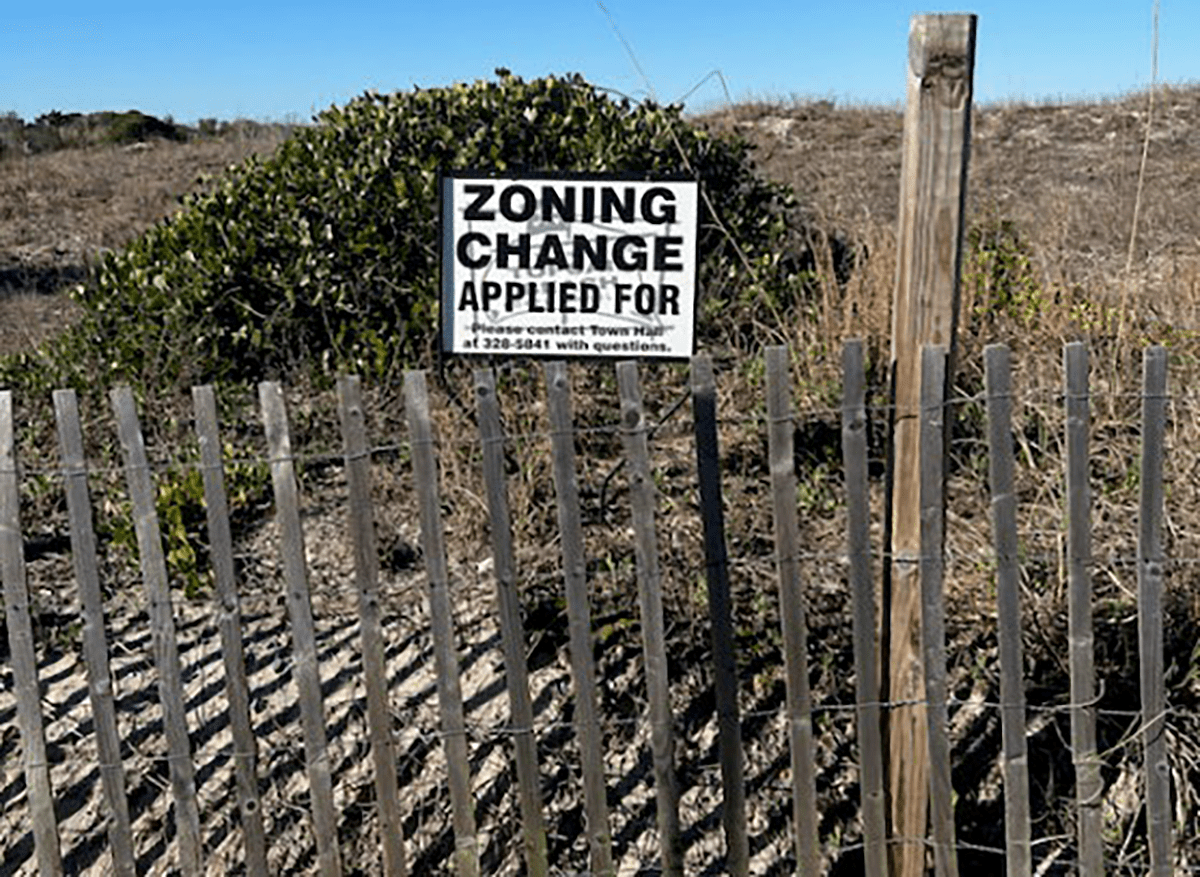
TOPSAIL BEACH – The countdown is on for the Topsail Beach Planning Board to make a recommendation on whether to rezone a portion of “The Point,” a locally beloved stretch of undeveloped waterfront property at the southern tip of Topsail Island.
Details of a master development plan submitted on behalf of Todd Olson, a Raleigh software entrepreneur who is under contract to buy the nearly 150-acre tract, were discussed during the town planning board’s meeting Monday morning.
Supporter Spotlight
The meeting kickstarted a 65-day timer in which the board must either recommend approving or denying Olson’s request to rezone a little more than 30 acres of the property from conservation to conditional use.
Olson declined to speak at the meeting Monday, but land surveyor Charles Riggs walked planning board members and dozens of property owners, most of whom oppose the rezoning request, through the proposed plans.
Those plans call for building seven single-family homes and a swimming pool near the center of the property, walkway water accesses and a boat dock for six vessels.
Olson has offered to work with the North Carolina Coastal Land Trust to permanently conserve the remaining 119 or so acres.
The offer did not appear to appease those at the meeting who oppose development of the site.
Supporter Spotlight
Dr. Rob Young, professor of coastal geology and director of the Program for the Study of Developed Shorelines at Western Carolina University, stated in a letter to the planning board, “Any willingness of the Coastal Land Trust to accept the remaining property as conservation easement should not be a consideration.”
“It is likely much of that additional land will be gone in the future,” Young wrote.
He and others who spoke during the meeting pointed out that most of the property is within a federally designated Coastal Barrier Resources System, or CBRS, area. The Reagan-era law to reduce federal coastal disaster expenditures and protect natural resources restricts federal funding and financial assistance.
Though development is not prohibited in the CBRS, building is discouraged. Property owners of land within the CBRS do not qualify for federal assistance, including the National Flood Insurance Program, and loans for public roads or utilities and disaster relief are prohibited.
An official with the U.S. Fish and Wildlife Service, which oversees CBRS mapping, noted in an email to the town that utility service may be extended to a unit within the system only if federal funds are not used to pay for its construction or future costs, including maintenance and repairs. Service from any federally funded sources are prohibited from being extended into a CBRS unit.
“If any of the utilities were constructed using federal loans and grants, or expect to receive federal assistance for future maintenance and repair, they cannot be used to supply services to the proposed development (within the CBRS unit), even if the connection point is outside of the unit,” Kathy Matthews, renewable energy coordinator and fish and wildlife biologist with the service’s Raleigh office, wrote in the email. “I just wanted to clarify the Service’s long-standing legal opinion.”
State and federal agencies asked to weigh in on the proposed rezoning and subsequent development noted a variety of concerns, including potential issues with on-site septic systems and adverse impacts to endangered and threatened species, including piping plover, red knot and sea turtles.
More than 2,600 have signed an online petition opposing the proposed rezoning.
After the planning board makes its recommendation, the request then goes to the town’s board of commissioners. Both boards will host public hearings prior to voting on the request.


