Have you ever stopped and stood on the part of the beach where ocean waves rhythmically skim up toward the dunes then back to sea?
That area, the one where you feel your feet sink little by little into the wet sand, is called a swash zone.
Supporter Spotlight
University of North Carolina Wilmington Assistant Professor Ryan Mieras is leading a team of researchers who are setting out to understand how sand moves within these dynamically changing oceanfront areas with the idea that, in years to come, they can create a tool to help forecast which areas of a beach may experience little to no sand loss or substantial sand loss during coastal storms.
A swash zone is a highly complex area of the oceanfront. Sand in these shallow, murky areas are camouflaged by bubbles and foam, making it difficult to be examined by instrumentation like satellites, laser scanners and acoustic sensors typically used to measure ocean forces.
“We’re getting better at modeling how the beach will change under day-to-day conditions, under storm conditions and so on and so forth,” Mieras said in a telephone interview. “But all of those gains in knowledge and improvement of these forecast models has only been accomplished because of observations and measurements further offshore than right at the swash zone.”
A fundamental problem with current models is that, while they are good at computing waves and factoring in tides and how winds generated in coastal storms may create certain types of waves, these models treat the beaches as if they were concrete.
“If we have a better way of computing how the beach changes under storm events, keep in mind all of those changes are occurring in the swash zone where the waves are impacting the dunes, we can pass that back to the model that’s calculating the waves in the storm surge elevation and that may change the risk for a particular location or community that would have otherwise maybe been under-predicted or over-predicted,” Mieras said.
Supporter Spotlight
The U.S. Coastal Research Program and U.S. Army Corps of Engineers have awarded Mieras a nearly $1 million grant to head the four-year, collaborative study with researchers from the University of Delaware and University of Texas at Austin.
For the next year and a half, the team, including one doctoral student attending each of those universities, will work on how to mimic conditions that will generate what are called “intensive sediment transport events” in a wave flume, a massive, rectangular aquarium-like tank that can produce waves and currents to simulate a hosts of real-life sea conditions.
This large-scale laboratory experiment will be conducted throughout an eight-week stretch of summer 2025 in Vicksburg, Mississippi, home to the Corps’ Engineering Research and Development Center.
This center’s Coastal Hydraulics Laboratory includes a 10-foot-wide, 200-foot-long wave flume, one that is ideal for the team to what Mieras described as getting the physics of sand movement correct.
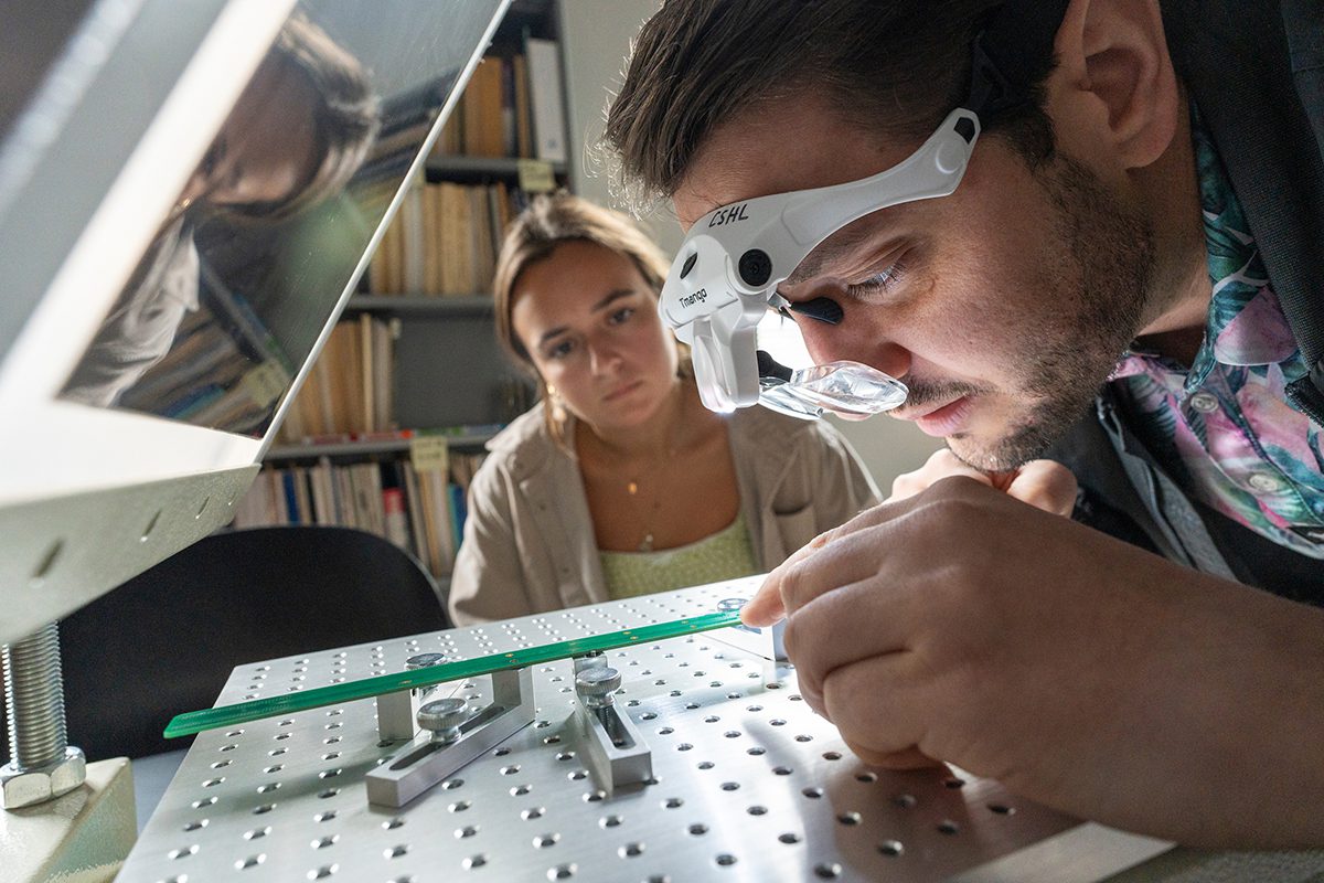
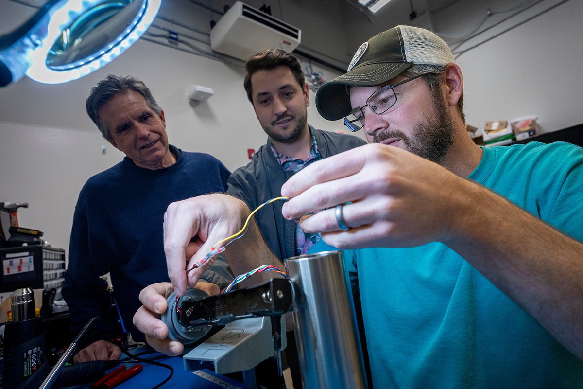
Those measurements will be taken using a host of sand transport sensors and instruments, some of which have been developed, manufactured and tested by Mieras’ undergraduate students at UNCW’s Coastal Engineering Wave Flume. That flume – 5 feet wide and 80 feet long – was commissioned just last year.
His team will document the concentration of sands within the water, the velocity, elevation and speed of the water and how much the lab-created beach is changing at as much as 50 times per second.
“So we’re getting a really, really detailed understanding,” of how sediment moves, he said.
Researchers will use something called particle image velocimetry, or PIV, to investigate and document how sand shifts under a variety of conditions.
“We’re measuring everything, everywhere,” Mieras said.
The team, uniquely crafted of researchers who are experts in measuring and modeling sand movement, will then spend the next two years taking data quantified in the lab and using it to understand the fundamental physics of why sand does or does not move under different conditions.
The last year of the study, the team will incorporate what researchers learn into a regional scale model called XBeach, which the Corps uses to simulate shoreline responses to storms.
“The goal is eventually to then test it with regional scale coastal morphology, with the new version and with the old version, and see if it does any better,” Mieras said.
The hope, he said, is that, say a decade from now, the results of their research will provide a better way of not only forecasting storm surge, but also update coastal region erosion in real time so forecasters can better understand hour-by-hour storm surge and coastal flooding risks.
“So, it’s not just for the Corps to say where do we deploy resources, but I think anyone who lives near or at or on the beach always wants to know more and more and more information,” Mieras said. “The hope is that not only do we have more information, but it’s more accurate.”
Their work is part of a larger collaborative study examining the transport of sediment on beaches.


