Reprinted from North Brunswick Magazine
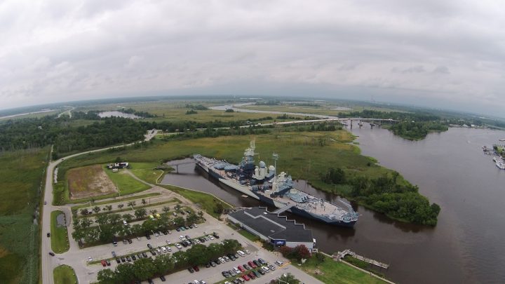
EAGLES ISLAND — Along the busy stretch of US 74/76/17 between New Hanover and Brunswick counties exists a veritable marshy wilderness, barely touched by the locals. But contrary to the likely assumption, its stewards, The Eagles Island Coalition, are actually hopeful that this will soon change.
Supporter Spotlight
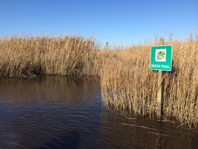
“For many years no one really gave Eagles Island much thought, but the coalition has helped to change that perception,” said Niel Brooks, Leland’s Parks and Recreation Department Director of Operations and an active participant in the Eagles Island Coalition (EIC). “We have had some good press over the years for some of our efforts including the installation of Paddle Trail signage throughout the island, the development of a Conservation Management Plan and some of the work Jim Kapetsky did with regards to mapping old rice canals on the island.”
The Eagles Island Coalition is a multi-agency, municipal, and non-governmental organization partnership focused on protecting the existing natural areas on Eagles Island and the lower Cape Fear/Brunswick River Marsh complex, according to the organization’s website.

But Rob Moul, consultant with Land Management Group Inc. and the other members of the EIC, don’t have visions of storefronts and pristine parking lots. The current chair of the organization said that instead, the hope is for the stretch to become a central location for education and recreation in the area.
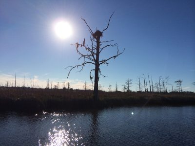
“It’s just fascinating when you get out there on the water and see what pops up in the low tide,” he said of recent kayaking ventures he and Brooks took to identify possible paths and small boating excursion paths. “The report that we put together is pretty detailed, but until you see what’s going on it’s hard to describe how awe-inspiring the work is that these folks do around here.”
Land Management Group, with which Moul has been employed for nearly 28 years, was one of the organizations responsible for the research compiled into a comprehensive study in July 2011 featuring the land’s cultural, environmental and historical resources. This meant assessing everything from the impacts of regional dredging, water quality, flood frequency and more based on the area’s past and present activity.
Supporter Spotlight
The land, first donated to the New Hanover Soil and Water Conservation District Board of Supervisors by H.L. “Whitey” Prevatte in 2001, consists of 52 acres of wetlands. Over time, the levels of salt water have been rising due to dredging channels influenced by ships and the rising sea levels. Additionally, since 2001, the original Eagles Island area was gifted nearly 800 acres in government land contributions.
“For now, our plan is to educate everyone about the land here, but we also want to expand,” Moul said. “We’re hoping to make this an even bigger project by including land from private owners who may want to sell or donate to our cause. If we can expand, that’s just a little more we can offer to everyone else wanting to learn about the natural history we have.”
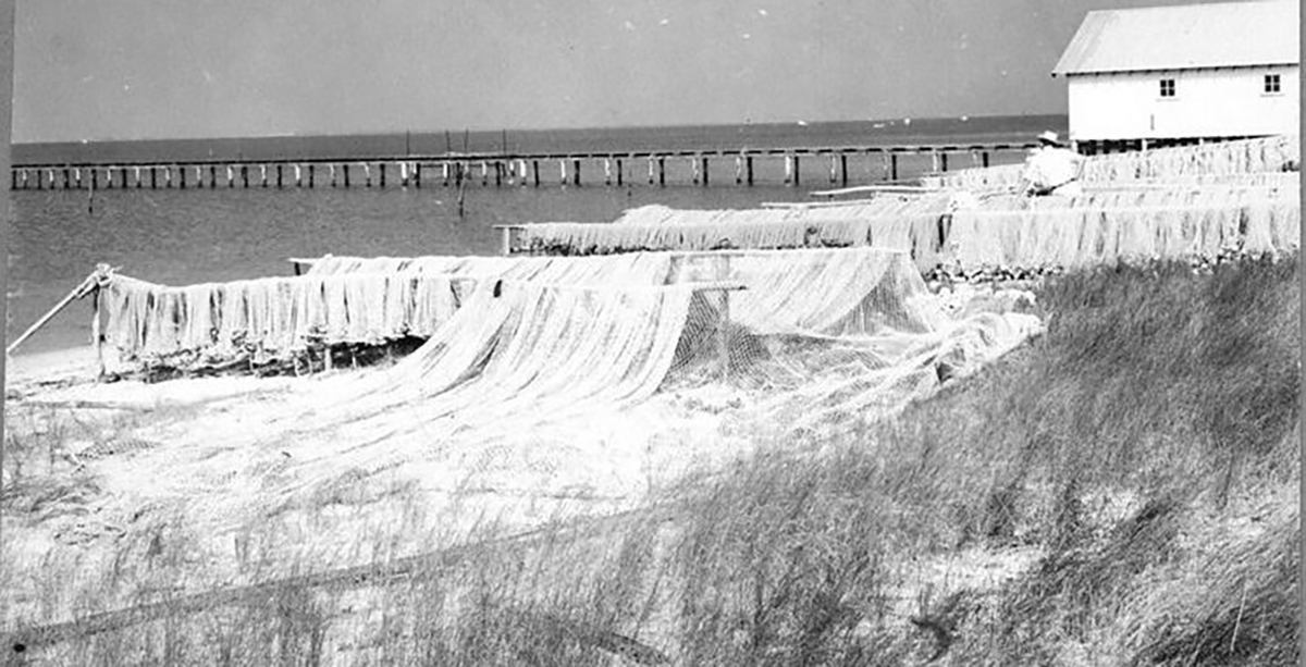
But in addition to future guided kayaking and recreational pursuits (which are major draws to the area), the coalition wants to emphasize the rich background that has helped shape the area, namely its reputation as a hub for turpentine production and rice cultivation.
In short, the area’s history has a lot to thank Eagles Island for, Moul said, although some native North Carolinians aren’t completely aware of just how rich that background in trade is.

To rectify this, Moul and his fellow Eagles Island Coalition members want to expand the opportunities around Eagles Island. They are hopeful the desired land can be added to the original parcel. Walkways, observation decks, and even possibly an educational tour via water taxi are all included in a sort of wish list that the coalition wants to make reality, he said.
“We want to make this the grand park between two urban environments,” Moul said. “After all, this stretch would have been the glue between commerce areas back in colonial times.”
With the assistance of local government entities on the board, as well as the remainder of the coalition team, Moul is confident that eventually Eagles Island will be placed on the map as a stop for tourists and locals alike to take in the natural beauty as well as learn a little about the history of southeastern North Carolina.
And for the rest, he said they hope to recruit volunteers for various task forces: recreational staff, land trust coordinators, natural and cultural historical education, etc.
“We rely on a lot of teamwork to bring about all of our plans and goals,” he said. “So in the future, we’ll mostly look to continuing in that same way and hope we can share this with the community.”
Learn More
This story is provided courtesy of North Brunswick Magazine, a publication that highlights life in Leland, Belville and neighboring communities. Coastal Review Online is partnering with North Brunswick Magazine to provide readers with more environmental and lifestyle stories of interest about our coast.


