SUNSET BEACH – Land being eyed for two separate neighborhoods on opposite ends of Sunset Beach may not be owned by the developers, according to the town’s attorney.
The town may own part of one of the proposed sites, according to records. A group of residents say the other is state-owned. Developer Sammy Varnam emphatically disputes those claims, saying he has deeds on both properties.
Supporter Spotlight
After digging through records and past town council meeting minutes, Sunset Beach’s town attorney earlier this year said that the town may own several acres of oceanfront land Varnam plans to develop at the west end of the island.

“It’s a small part of the full 22 to 23 acres, but the key of it is that it’s the piece that would provide access to the land,” Sunset Beach Mayor Ron Watts said.
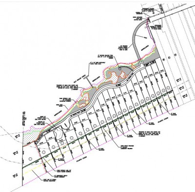
Varnam, under the limited liability company Sunset Beach West, has been pursuing plans to build on the site an upscale, 21-lot neighborhood. The land, which is next to the Bird Island Reserve, would have to be accessed by a private bridge linking the property to the west end of West Main Street.
In 1987, Edward Mannon “Ed” Gore Sr., a well-known Sunset Beach developer and businessman, deeded a portion of land to the town on the condition that the town use it to build a public parking lot within three years, Watts said.
Gore died in 2014. The parking lot was never built.
In 2004, the town council passed a resolution declaring that the price tag to build a parking lot on the land was too high because the town would have to either buy the last developed, oceanfront lot at the west end of West Main Street or build a bridge to access the land on which a parking lot could be paved. The town council decided then to turn the deed back over to the Gore family.
Supporter Spotlight

“That part never happened,” Watts said. “The town never prepared the deed nor did the family request it. I suspect at this stage a judge is going to have to clarify who’s the rightful owner. [The Gores] were paying taxes on it through this whole time. Honestly, I’m sure arguments can be made for both sides.”
Watts said there are several unresolved issues, including whether the conditions of the initial deed were legal.
During their meeting earlier this month, the town council rescinded the 2004 vote.
“I think it’s fair to say a majority of the current council does not want to give the land back,” Watts said.
That decision is too late, Varnam said.
“They’ve already let that horse out of the barn,” he said. “We are clearly the owners. We have a general warranty deed for that property. When Mr. Gore gifted the property to the town in 1987 he gifted it with no consideration, but there was a condition that stated they have three years to obtain access and provide a minimum of 100 parking spaces for the public and, in the event that the town failed to do so, the land automatically revert back to Mr. Gore. The town failed to achieve what was on the deed. So, Mr. Gore re-entered the land. The town billed him for city taxes, collected the money and deposited the money for years.”
The proposed neighborhood has been one of the more controversial developments on the island in recent years. The land, just fewer than 25 acres, was once Mad Inlet, a shallow, meandering channel that separated the west end of Sunset Beach from what is now the Bird Island Reserve.
The inlet had opened and closed over the centuries. It dried up in the mid-1990s, leaving a stretch of more than 1,600 feet of pristine beach between the last developed lots on the west end and the reserve.
In February 2014, the N.C. Coastal Resources Commission removed the inlet hazard area designation from the land, a change that loosened building regulations on the property.
Shortly after the CRC’s decision, Varnam started plans for the proposed development. He’s faced several hurdles since.
Brunswick County commissioners a year ago reversed a September 2014 offer to allow Varnam to tap into the county’s public utilities for water and sewer service. Their decision came after the county received a letter from the U.S. Fish and Wildlife Service warning that if utilities were provided to the land, which is in a federally designated Coastal Barrier Resources Act or CBRA (pronounced “cobra”) zone, the county could be cut off from future federal funding.
Building is allowed in CBRA zones, but, in an effort to discourage development in these areas, the government restricts federal subsidies, including flood insurance and Federal Emergency Management Agency aid.
Varnam has said he will provide private utilities to the homes.
He has applied for a Coastal Area Management Act major permit through the N.C. Division of Coastal Management.
That application has been placed on hold “pending resolution of a federal consistency review for the square footage of the kayak launch pier,” Michele Walker, the DCM spokeswoman, wrote in an email.
Varnam said he requested the application be placed on hold because of a question about the width of the kayak dock.
He has also applied for a permit from the Coast Guard to build a private, wooden bridge from the end of the street, over a tributary, to the property. The Coast Guard has to approve bridges constructed across navigable U.S. waters.
According to a public notice from the Fifth Coast Guard District, the developer requested a waiver of the bridge permit under what’s called “advance approval for bridges.” This approval pertains to waterways that are navigable, but only used by small boats. The commandant of the Coast Guard gives advance approval to the building or repair of bridges across these waterways.

Watts said the town has alerted the Coast Guard about the land ownership dispute.
A spokesman with the district’s office in Norfolk, Va., said that ownership has to be determined before the Coast Guard will issue a permit.
Chris McLaughlin, an associate professor of public law and government with the University of North Carolina at Chapel Hill’s School of Government, said though a property owner may pay taxes on land it doesn’t mean that property owner will be granted the land in court.
“This is nothing that happens automatically,” he said. “We would need a judge to make a ruling on this issue.”
The East End
Some Sunset Beach residents hope to get a state ruling that land Varnam is developing on the east end of the island is state-owned.
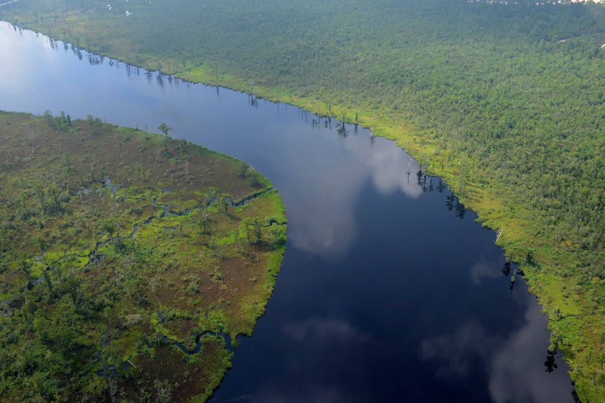
A handful of residents recently met with state officials to discuss the peninsula known as Riverside Drive. The peninsula was created in the mid-1960s when Gore dredged a series of canals and dumped the dredged material into adjacent wetlands, according to a letter sent by the Sunset Beach Taxpayers Association to the N.C. Department of Justice and the N.C. Department of Administration’s Office of State Property.
“When you do that, that doesn’t mean you own it,” said Jan Harris, town resident and president of the Brunswick Environmental Action Team. “The marsh is public trust.”
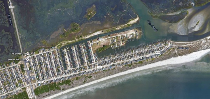
“The peninsula, created by spoils from dredging, by law, belongs to the State of North Carolina,” according to the April 4 letter. “Maps from the Division of Soil and Water Conservation, North Carolina Department of Agriculture and Consumer Services clearly document how this peninsula was created.”
Harris said she sent documentation, including maps from the state Division of Soil and Water Conservation on how the peninsula was created to state officials in 2014.
She and other residents met with state employees, including Tim Walton, state property office manager, on April 7.
Walton did not return a call seeking comment.
“We are optimistic, but we still have some things to do,” Harris said following the meeting in Raleigh. “They need time to research the laws and the evidence we have given them. We want to be sure no building permits are granted before the state makes their determination.”
Harris challenged DCM’s issuance of a CAMA major permit for the development in 2005. An administrative law judge in 2006 ruled that Harris failed to show the development would likely pollute shellfishing waters.
The 68-lot Riverside Drive development was platted and recorded in the 1970s. Varnam said he has obtained various permits for the development.
“The Sunset Beach Taxpayers Association all of a sudden has decided that the manmade canals, for whatever reason, should have never been built, but they are wrong,” he said. “We have a general warranty deed for all of our properties, we have permits and we have legal rights to develop our property.”
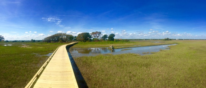
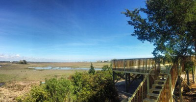
The development will include a nature trail consisting of a series of elevated, wooden boardwalks, an observation deck and a kayak launch.
“We chose not to develop the islands known as Cedar Point, but rather keep it as a nature trail,” Varnam said. “It is going to be the most beautiful nature trail on Sunset Beach and will remain undeveloped for perpetuity. I would invite any groups that have opposed the nature trail project to contact me for a personal tour and see first-hand what an incredible project this is.”

